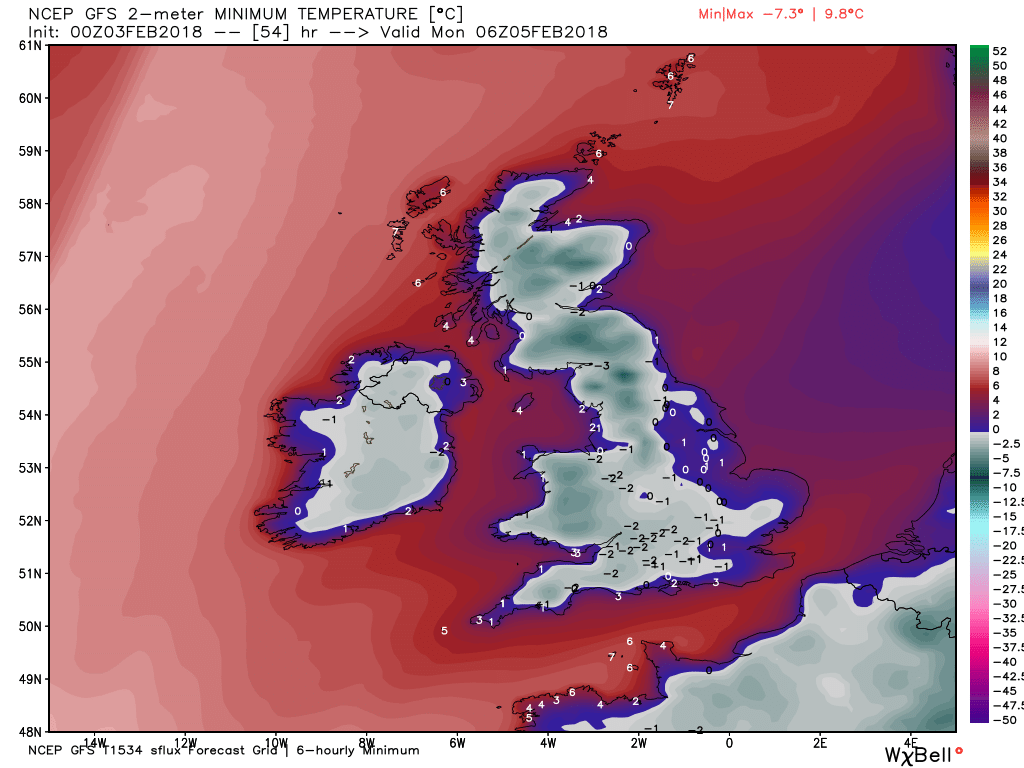
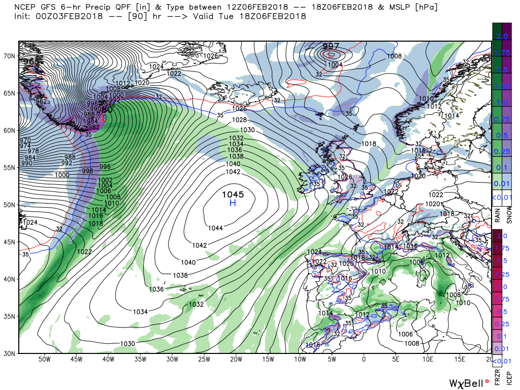
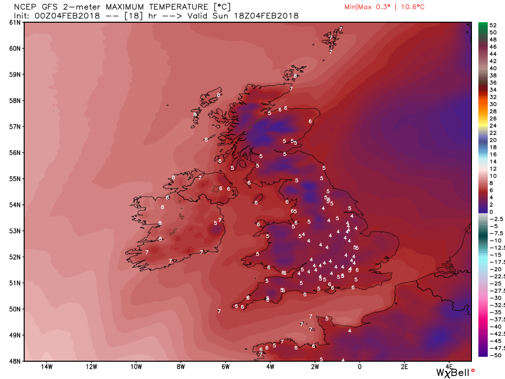
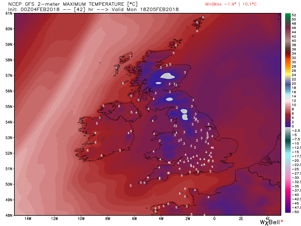
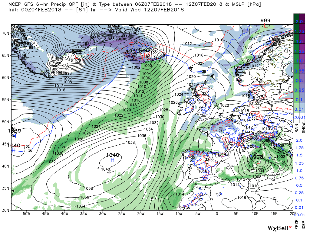
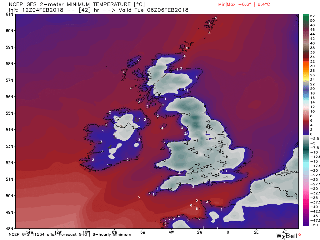
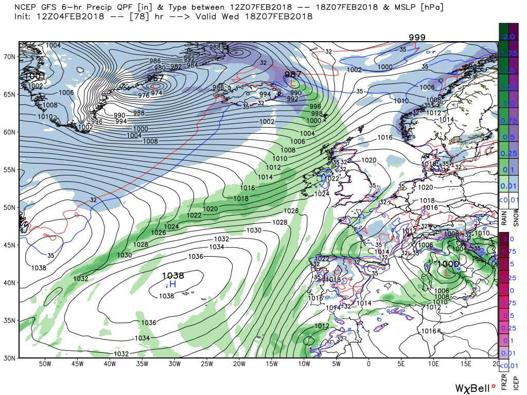
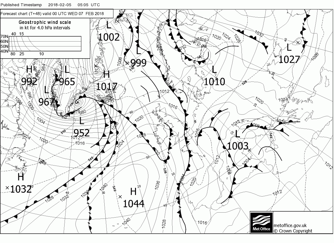
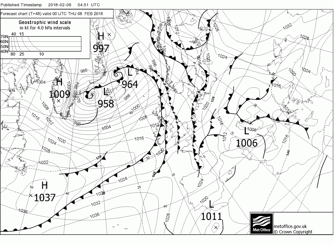
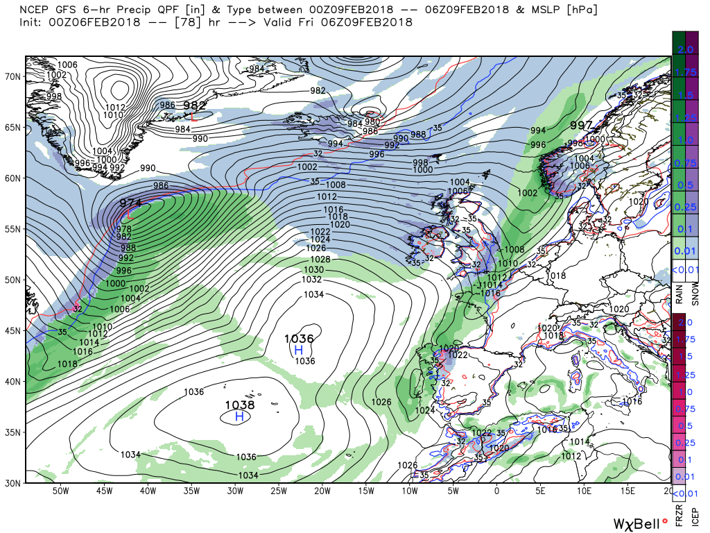
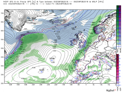
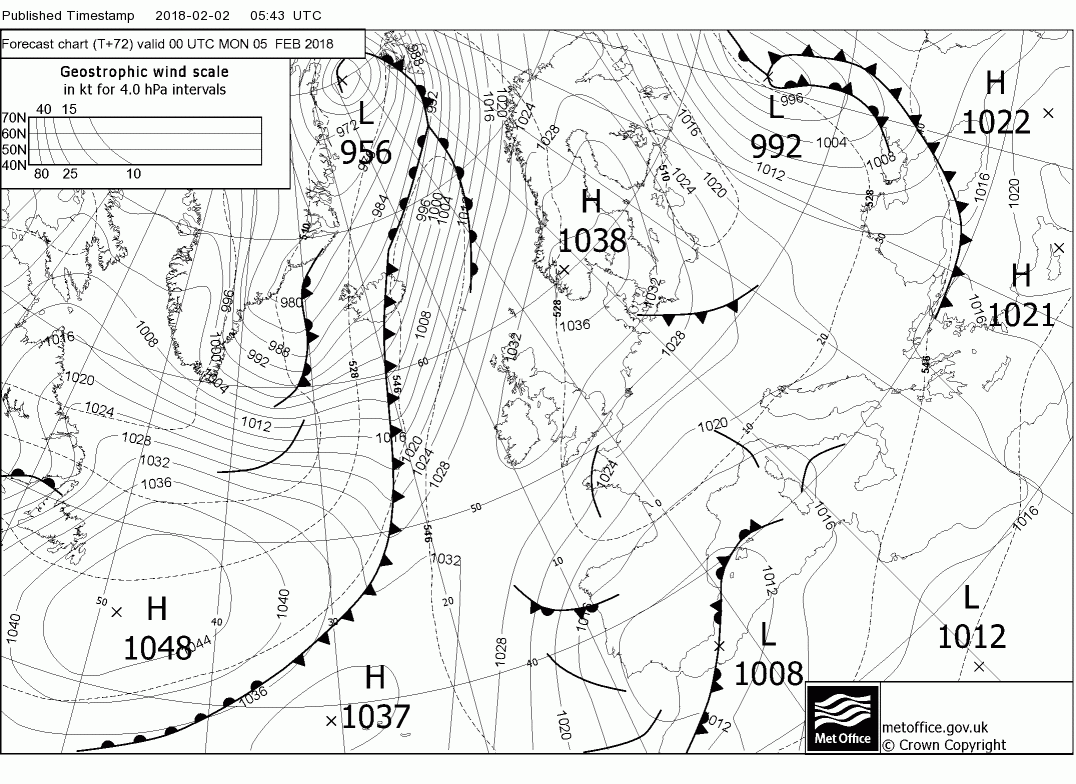
Today and tonight
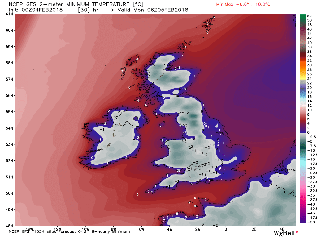
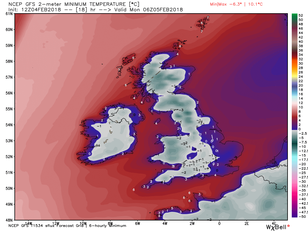
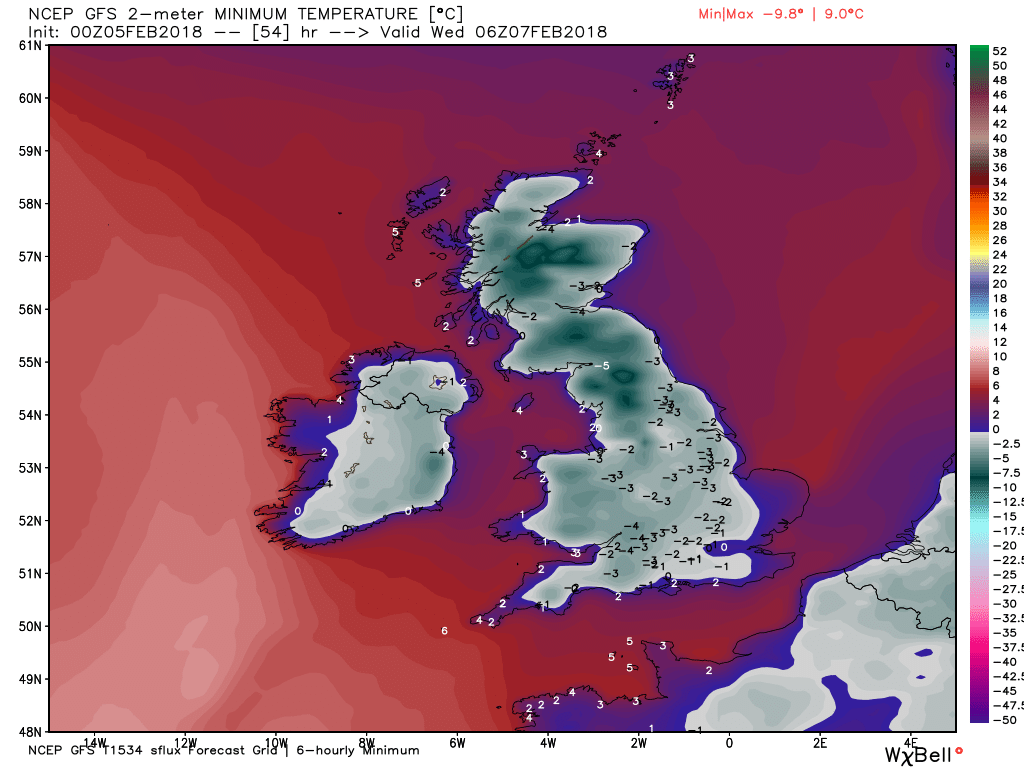
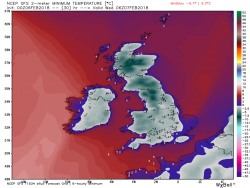
After a frosty start this morning (not too bad in many areas of England and Wales where it is cloudy, around 0-- -2C,) snow will move south east with the occlusion that is currently over southern Scotland, NW England and Wales. A reasonable coating in the north and central areas but lighter in the S/SW where the wind will pick up later as the ridge squeezes in. Behind the front some wintry showers, already into N. Ireland and Scotland which could give a fair covering of snow, Overnight clear skies and quite a severe frost for most but light snow lingering in the SE and perhaps more showers in th west on troughs in the general circulation

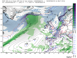
Tomorrow
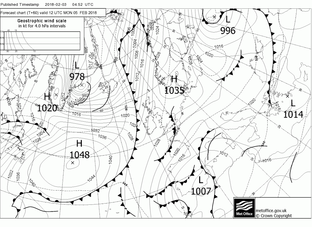
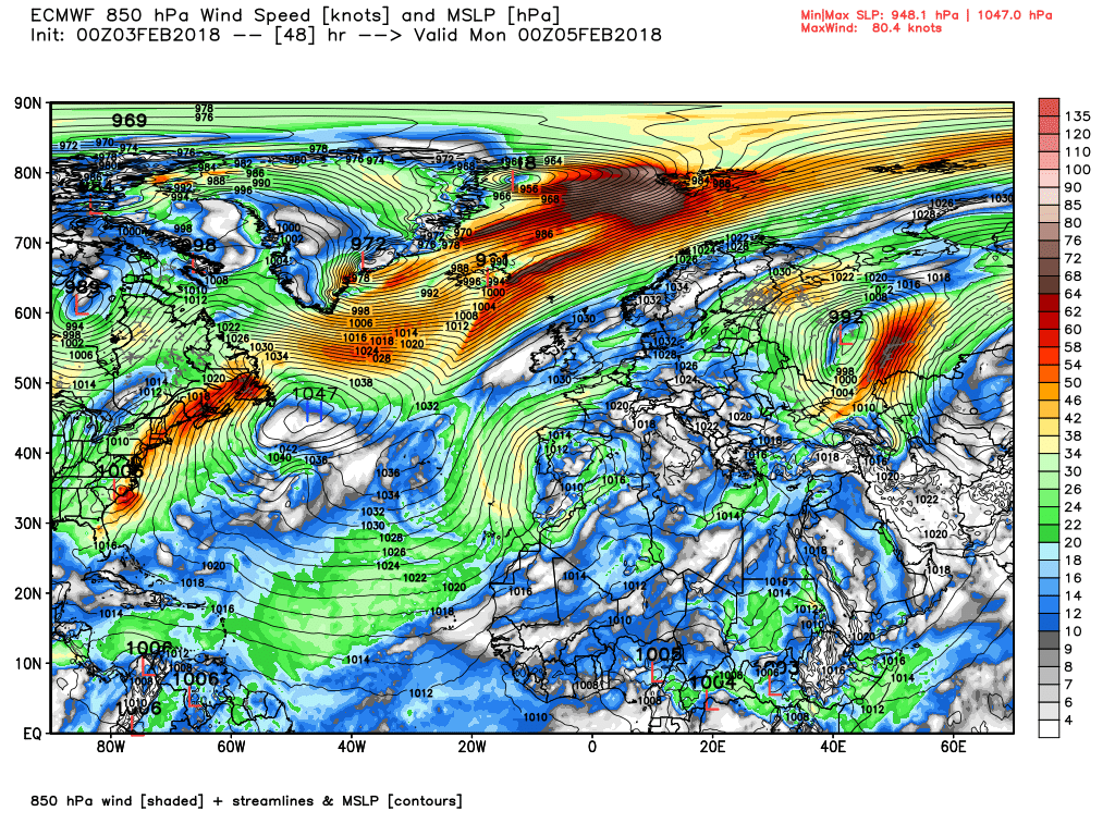
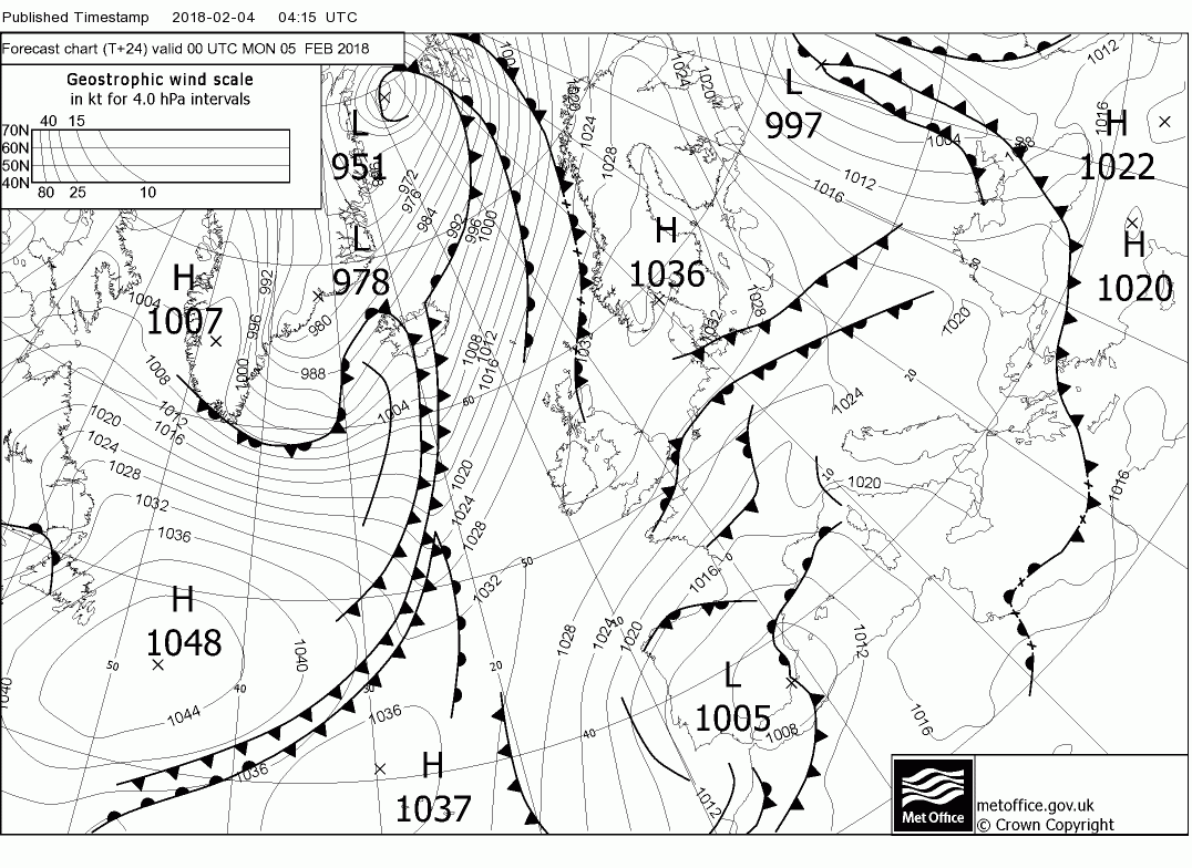
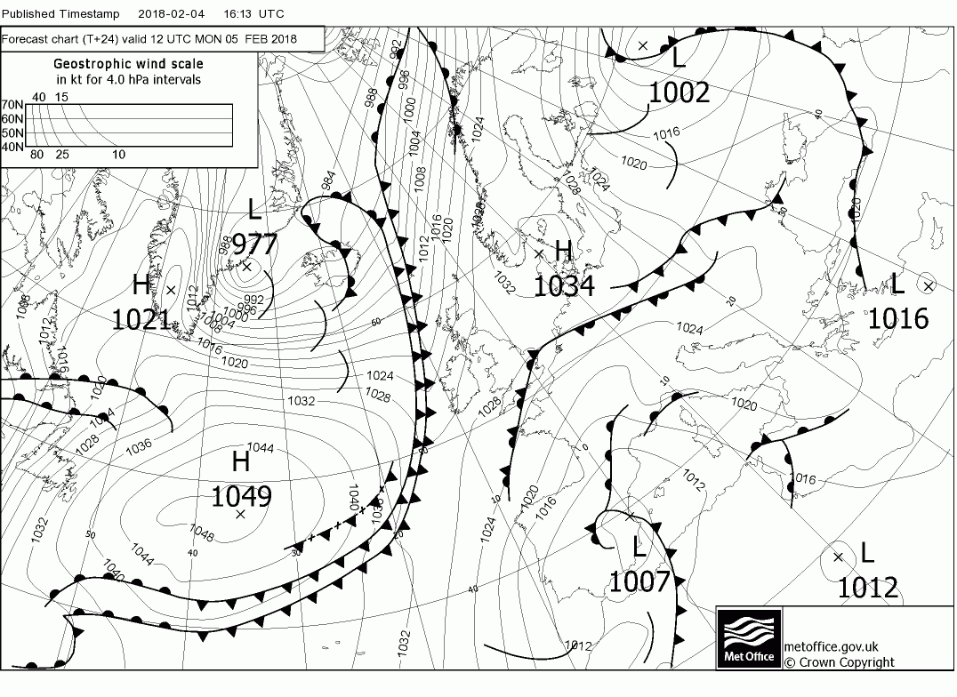
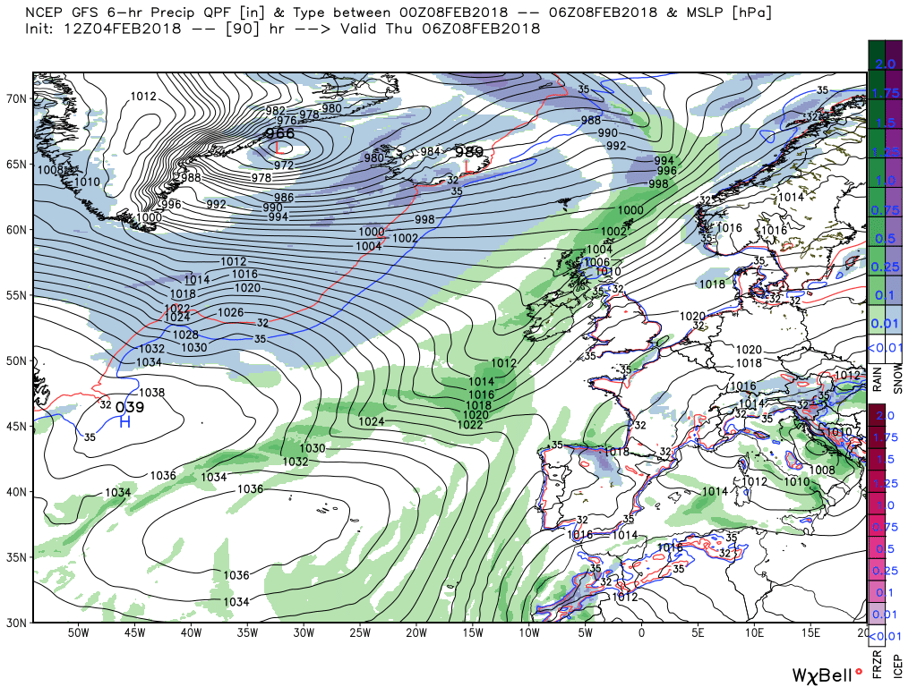
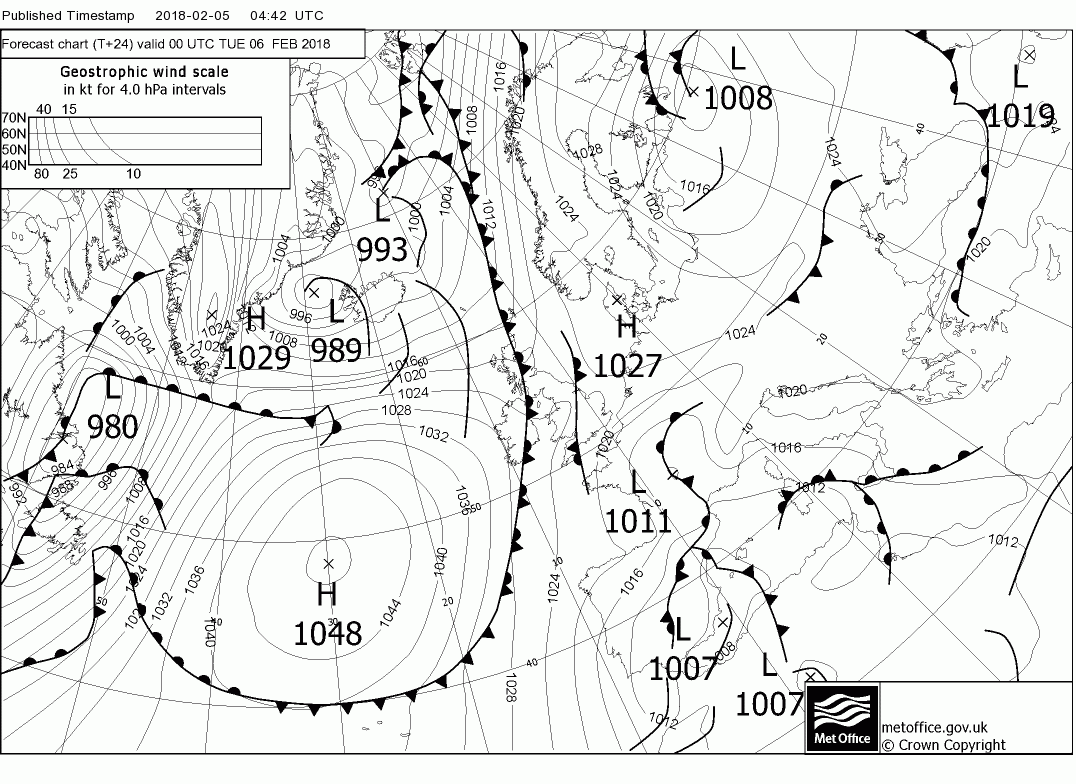
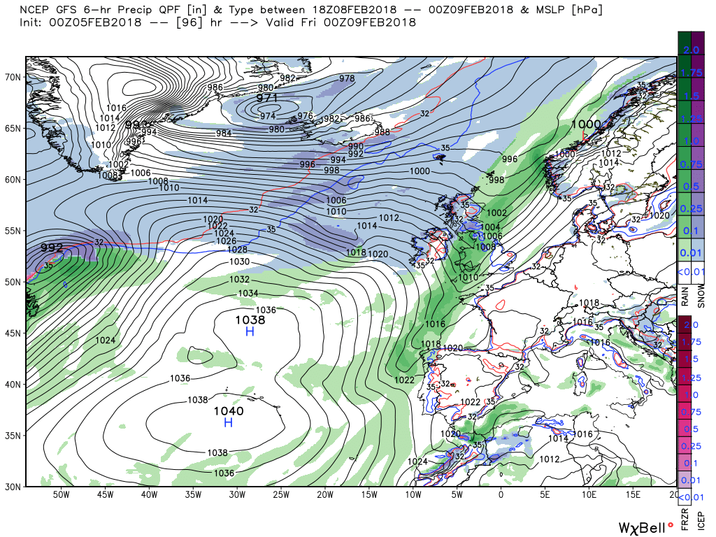
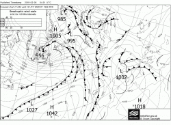
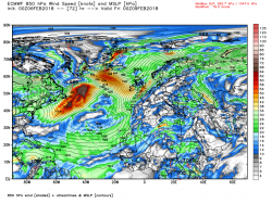
As noted a frosty start but by 1200 fronts have arrived in the north west bringing rain and some snow, probably confined to the high ground, and these will attempt to track south east. But progress is negligible against the ridge and they will either stop or weaken considerably leaving most of the country dry but cold.


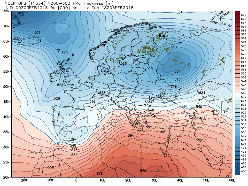
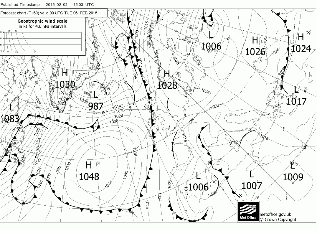
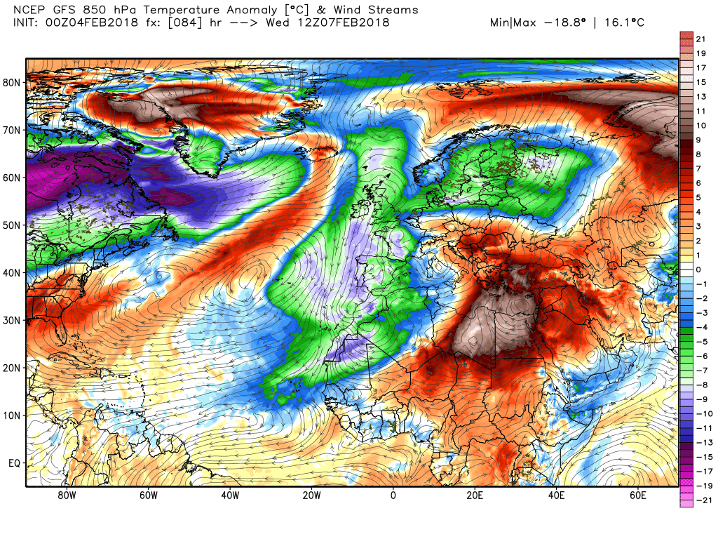
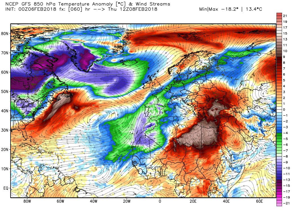
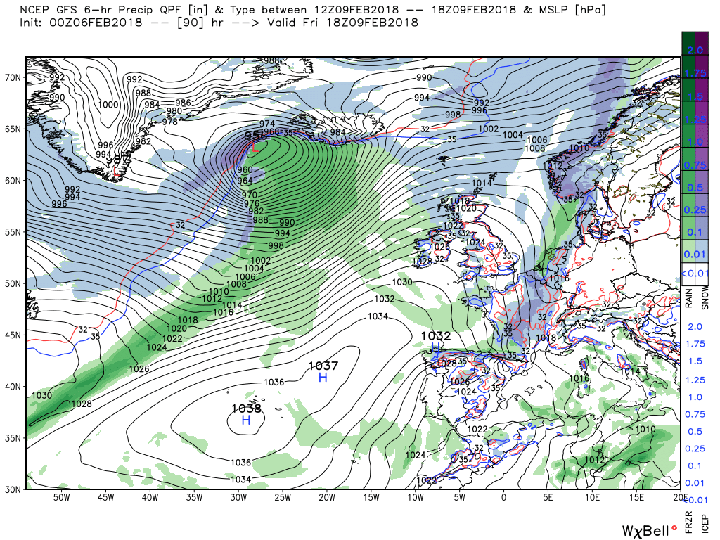
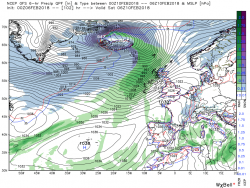
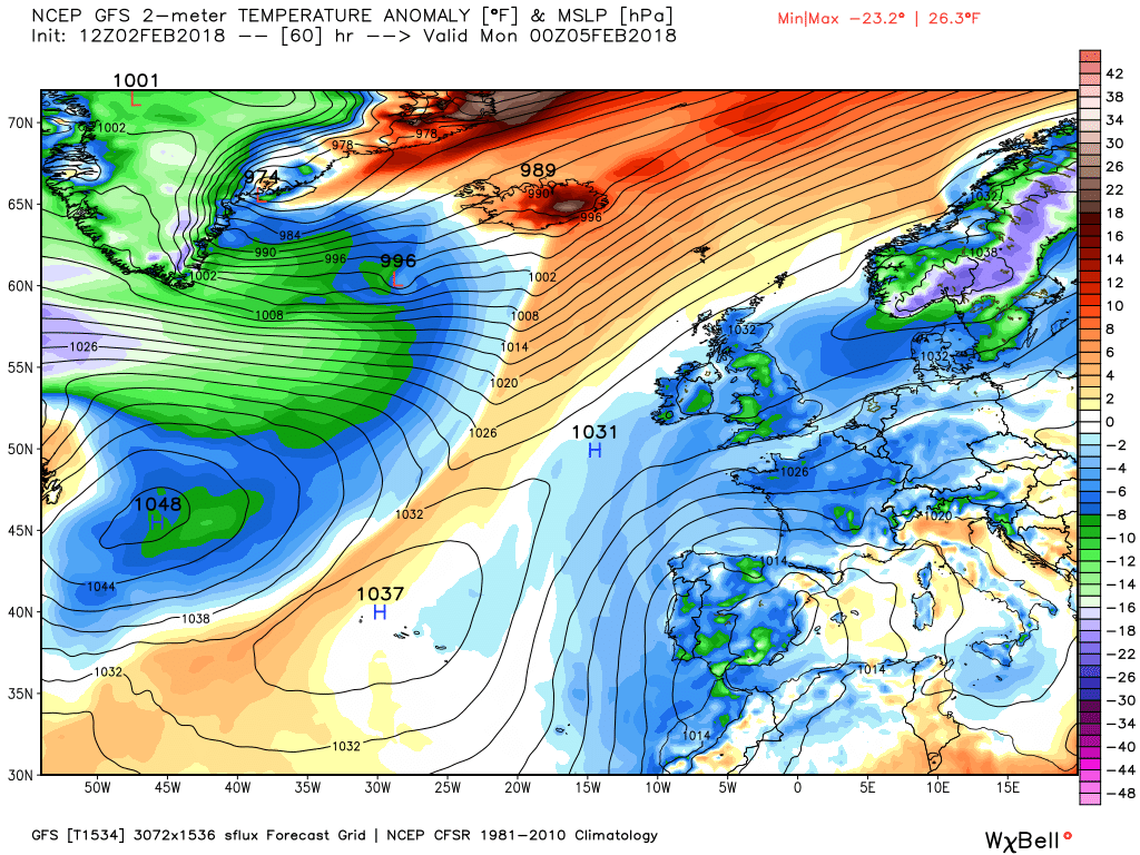
Thursday/early Friday
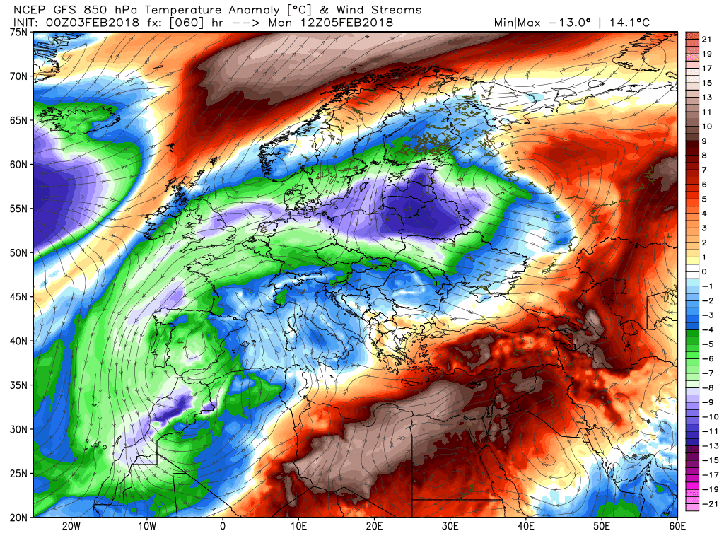
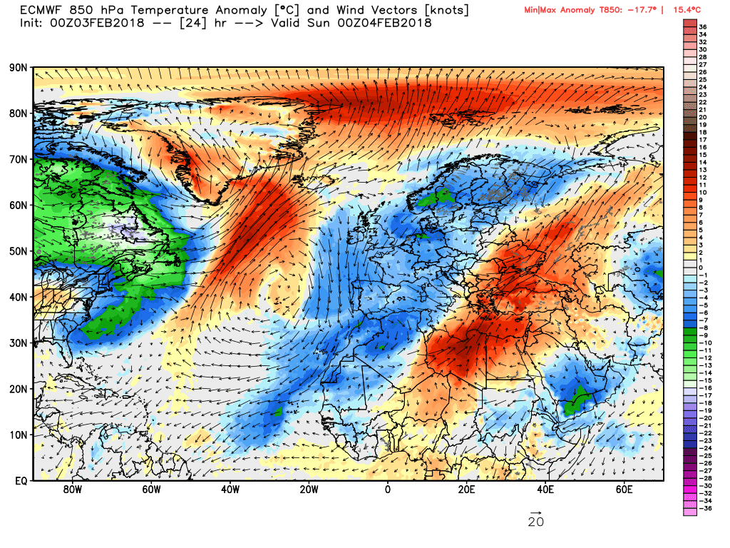
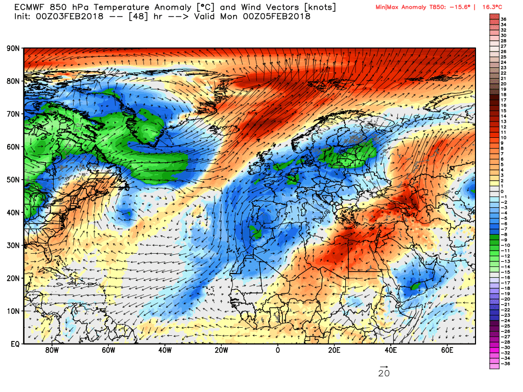
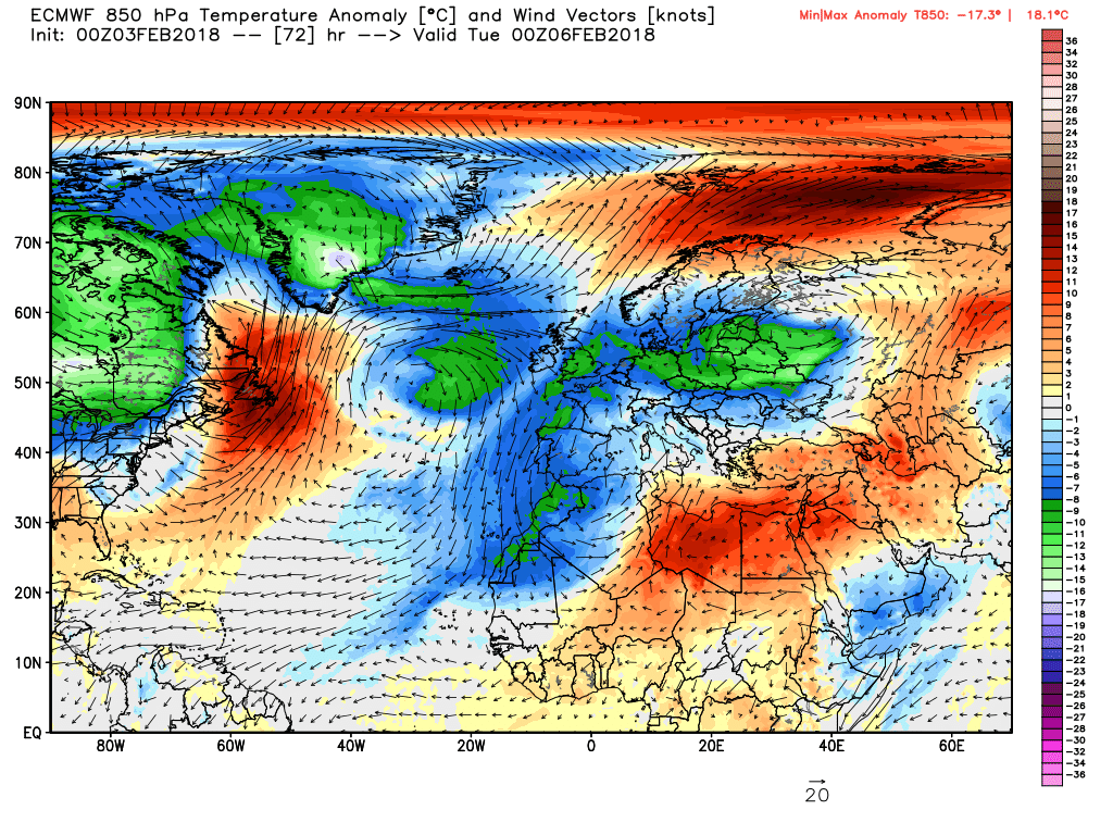
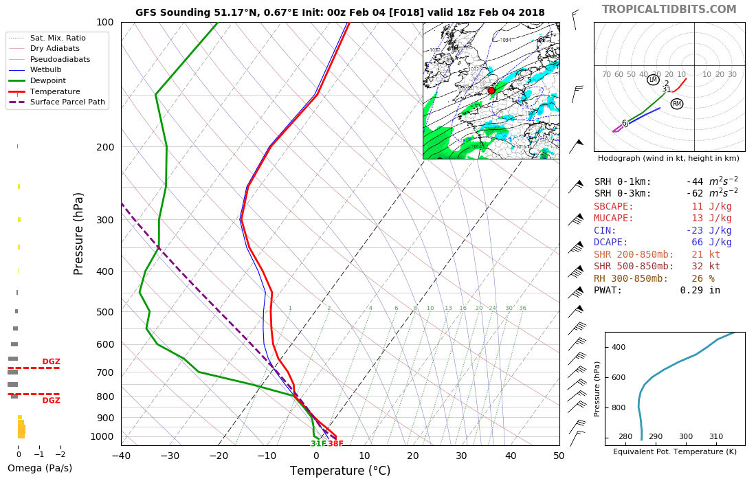
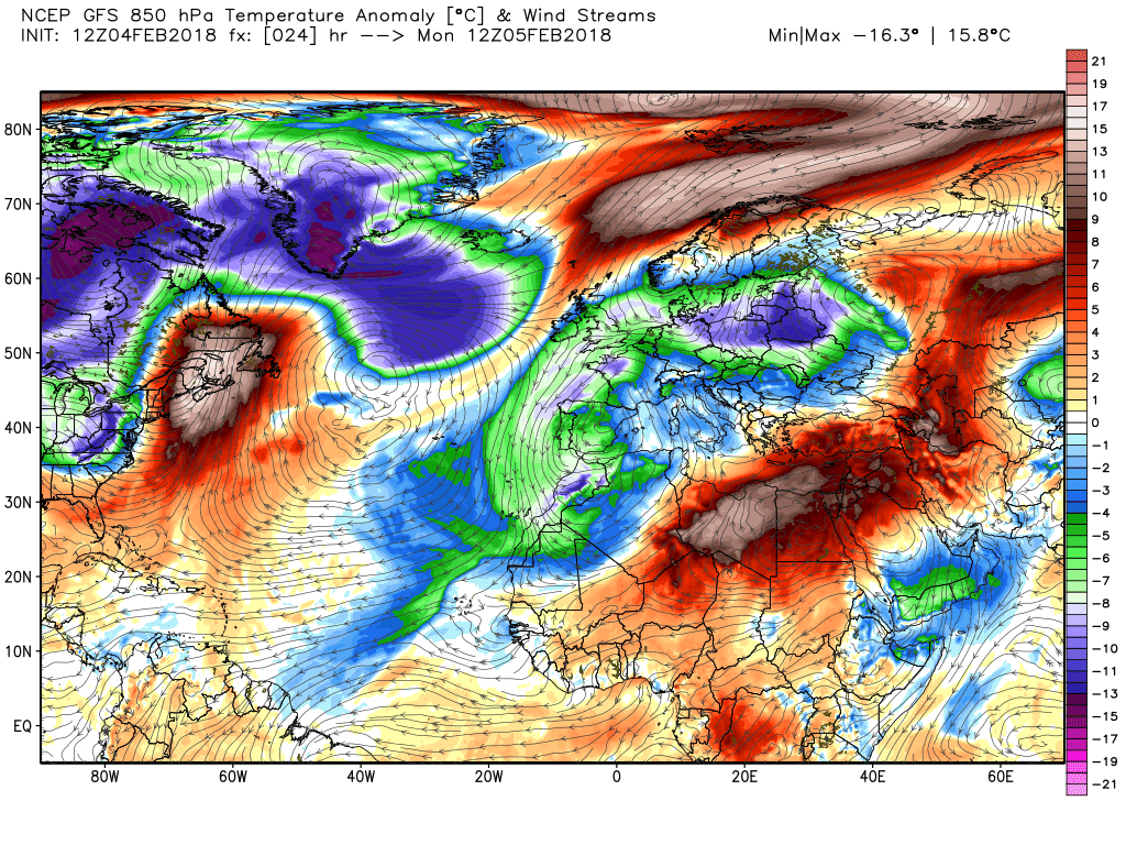
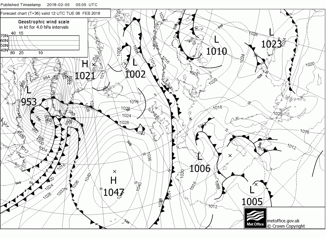
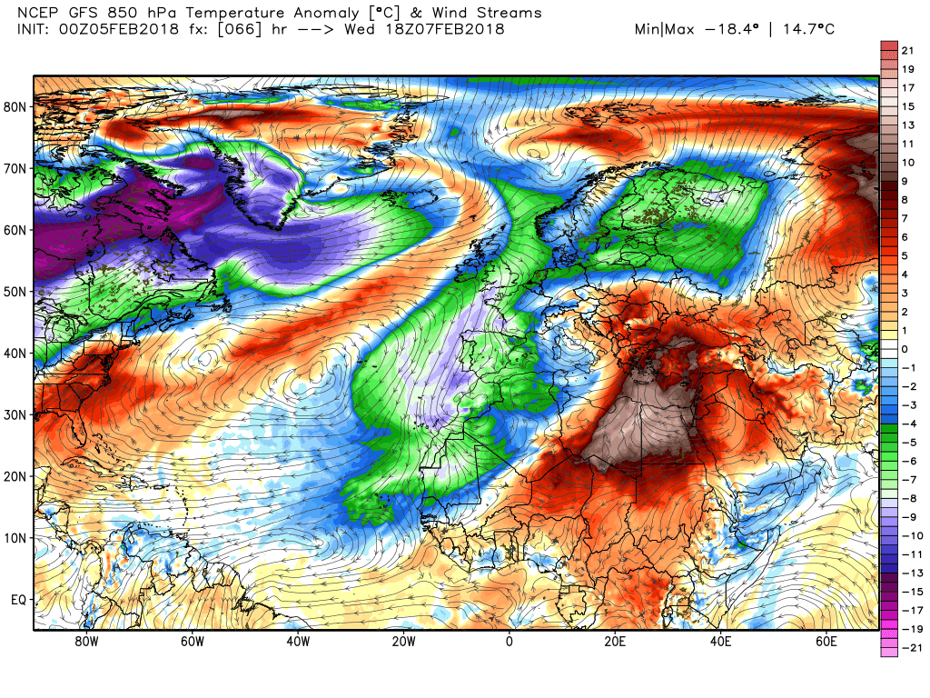
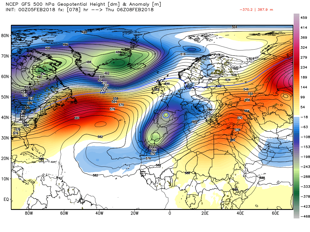
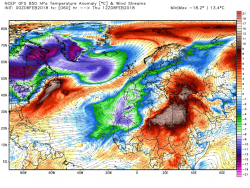
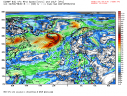
As can be seen the fronts have introduced a wedge of warmer air temporarily across the UK with the deep upper trough and the much colder air away to the north west. As the fronts finally clear the south east by 0600 Friday morning this colder air will also ingress the UK, albeit somewhat modified, bringing clearer colder condition for most with some wintry showers in the north west

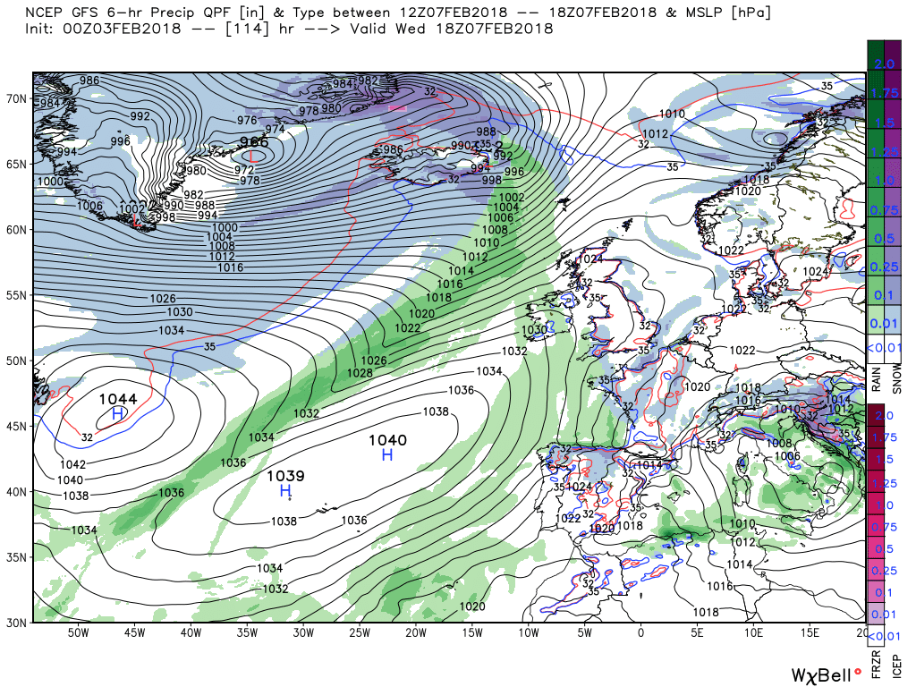
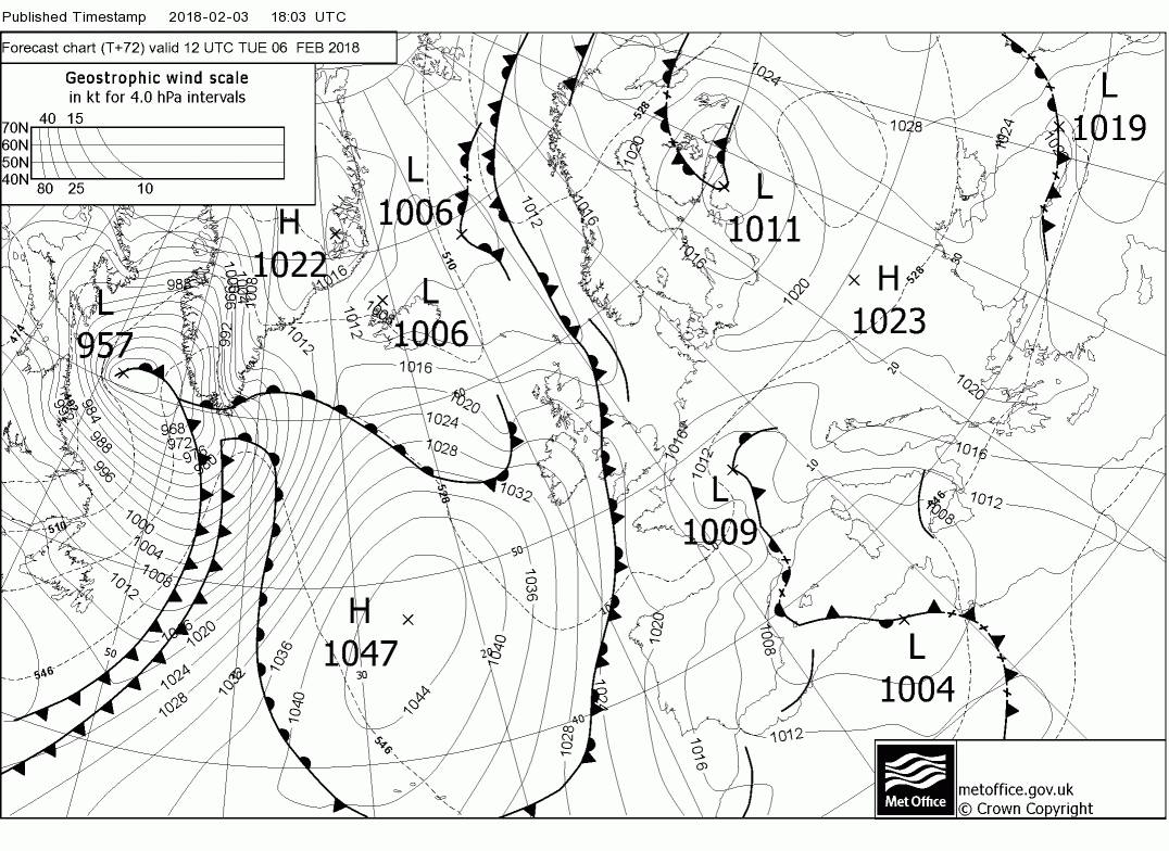
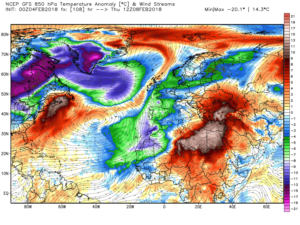
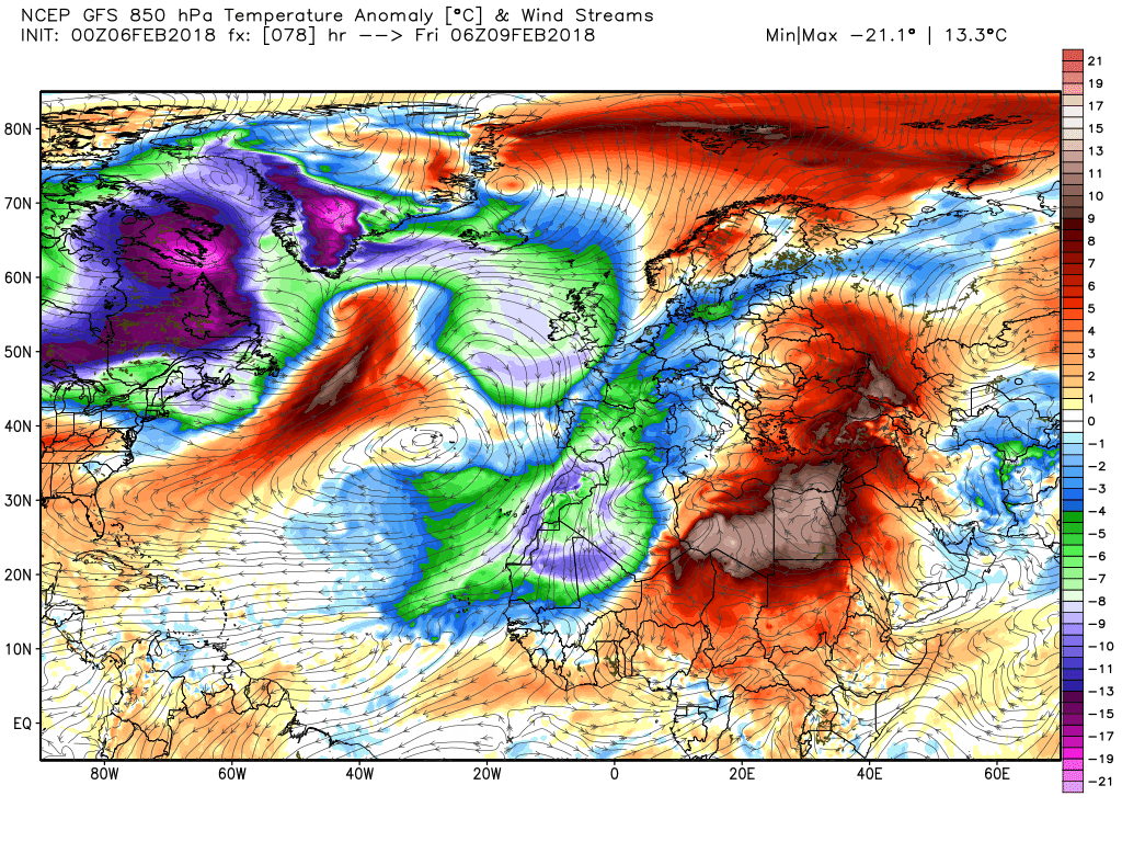
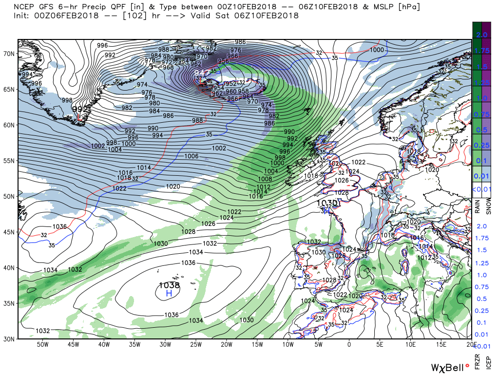
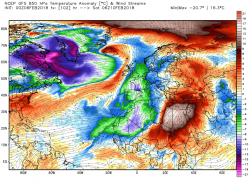
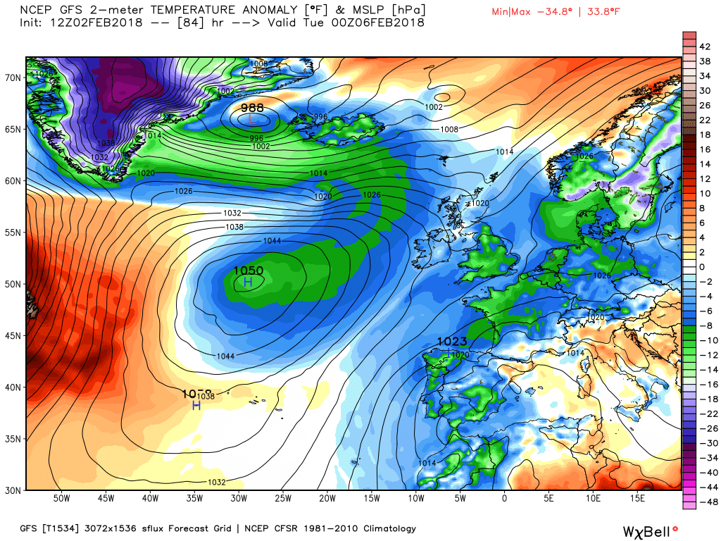
Friday/Saturday
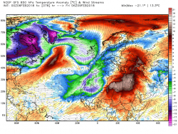
Cold and dry for most on Friday except the north west which could experience frequent wintry showers on the prevailing westerly wind before overnight the whole process starts again with fronts, rain and snow impacting the north west by 0600.
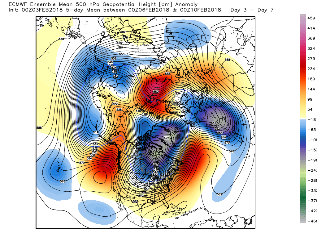
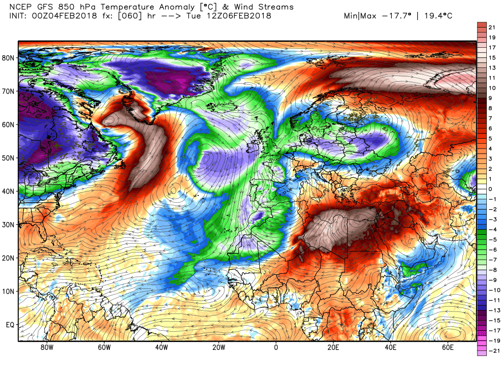
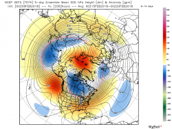
And looking at the GEFS anomalies this morning certainly signs of some rapid changes round day 11
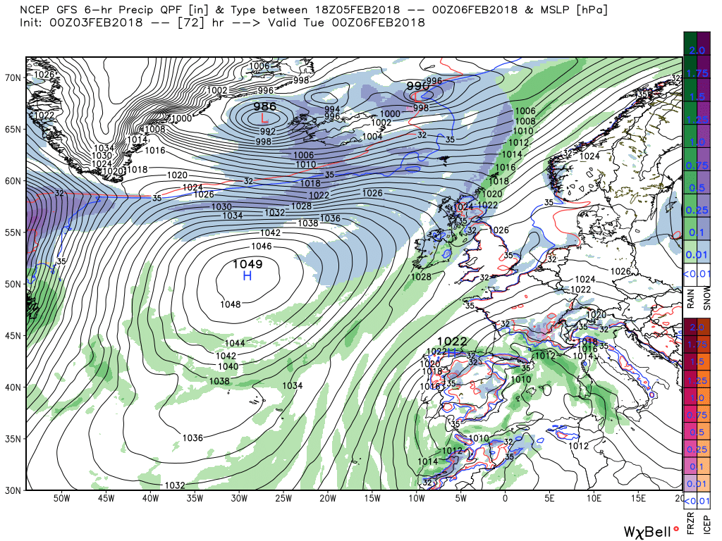
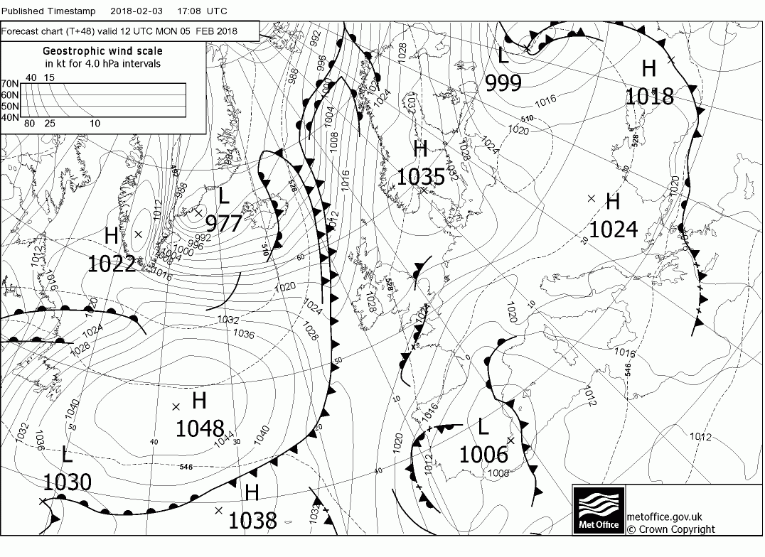
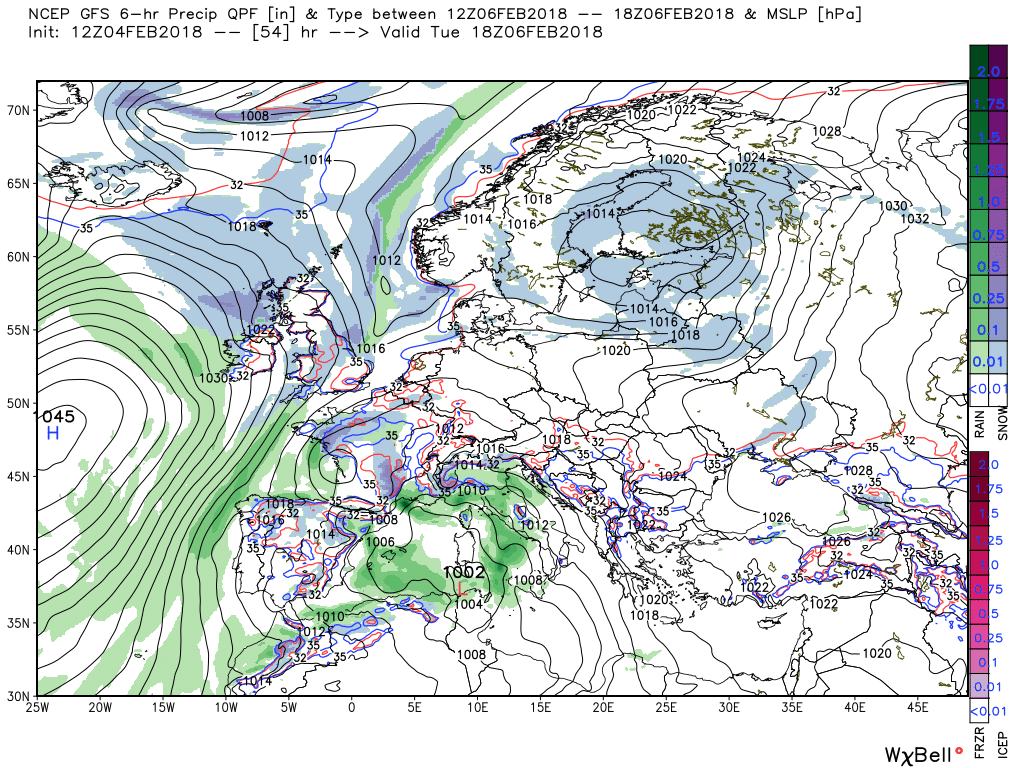
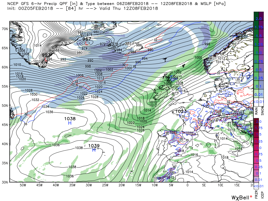
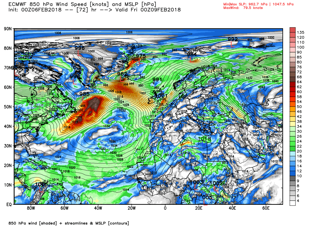
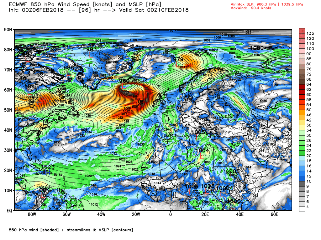
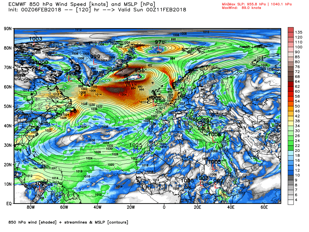
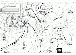
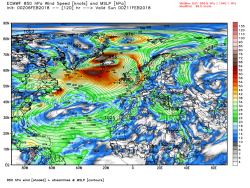
I might have played this down a bit above but the ecm has it quite wet in the early hours of Friday as the front(s) tracks south east and then wet and windy over the weekend with gales.


")