OP
- Messages
- 6,299
- Location
- Norfolk, England
- Thread Starter
- #1,793
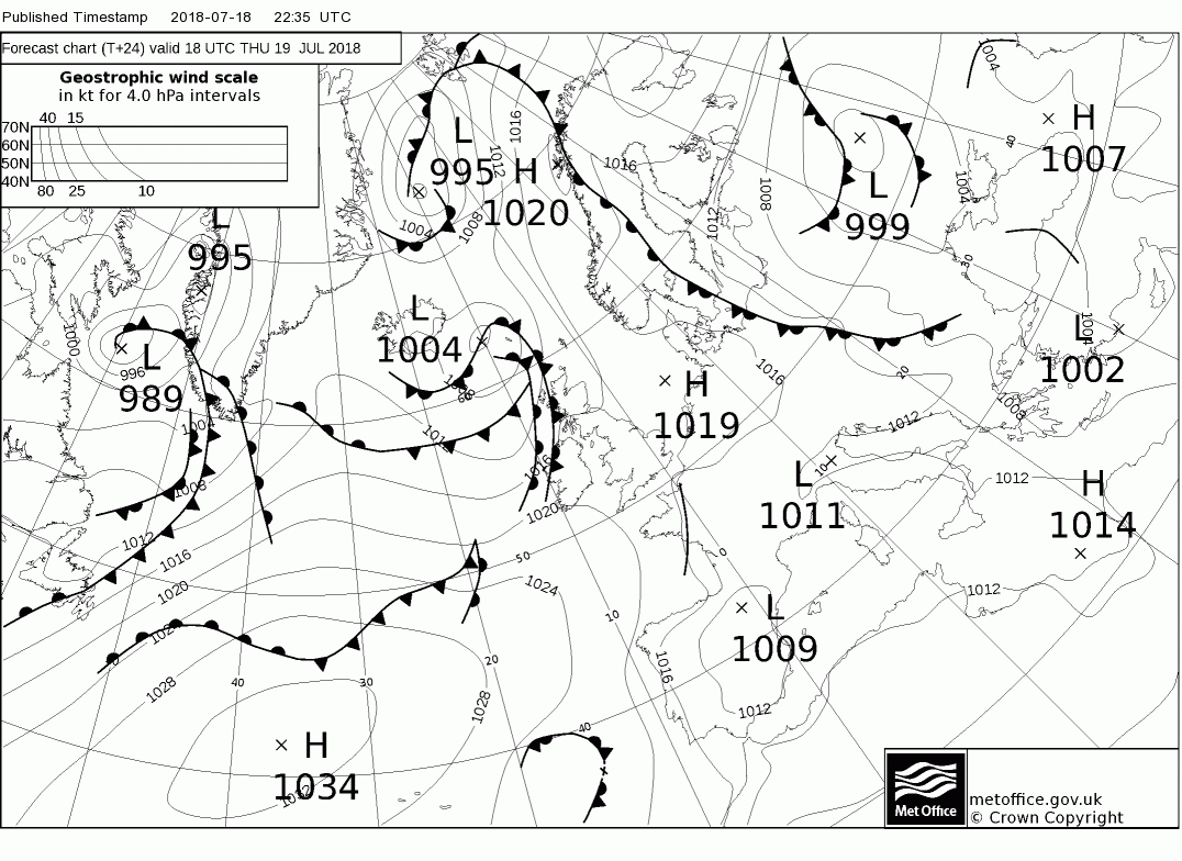
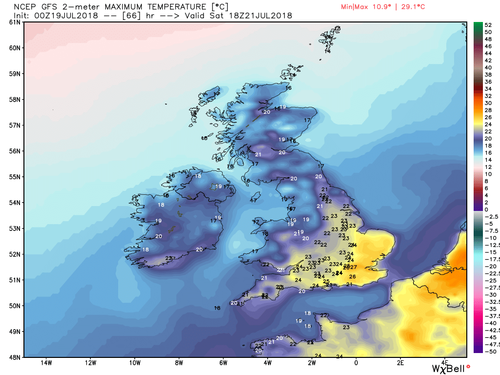
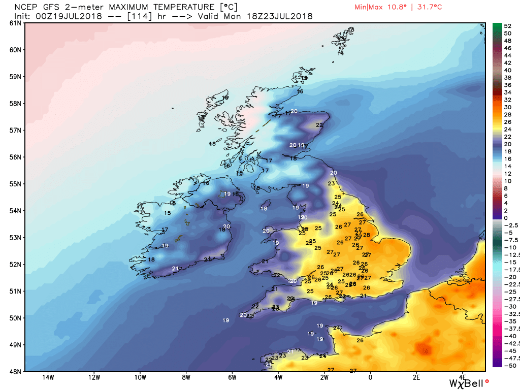
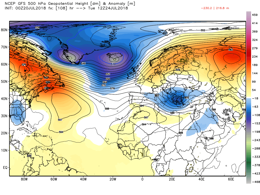
Malcolm's thoughts part 1:
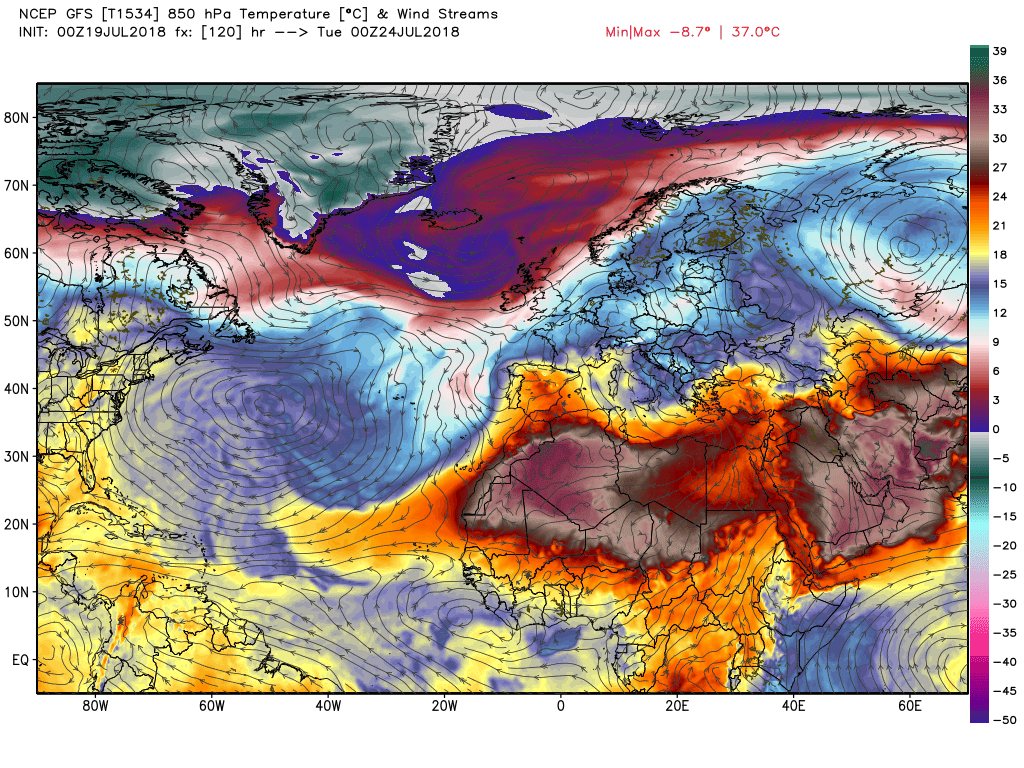
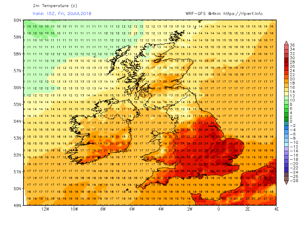
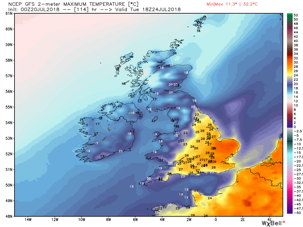
The outlook is for it to become very warm/hot and humid in SE/E regions whilst the NW/W is cloudier and cooler with some patchy rain/drizzle at times. This regional split is symptomatic of the slight adjustments to the pattern and may, as it slowly evolves, become more W/E It's all rather knife edgy.
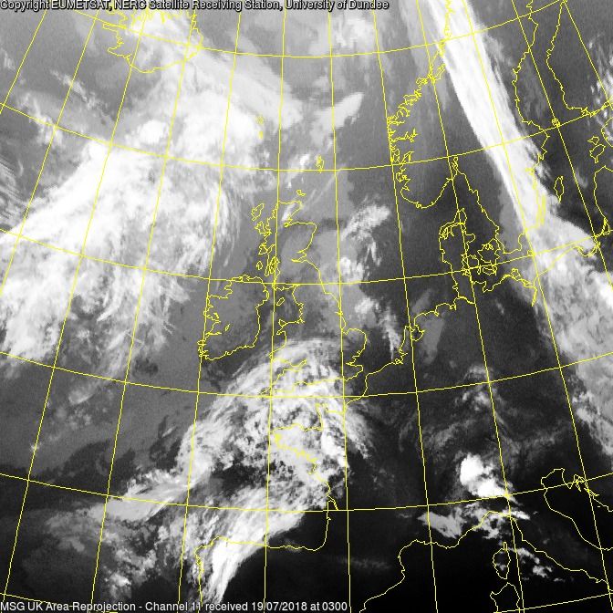
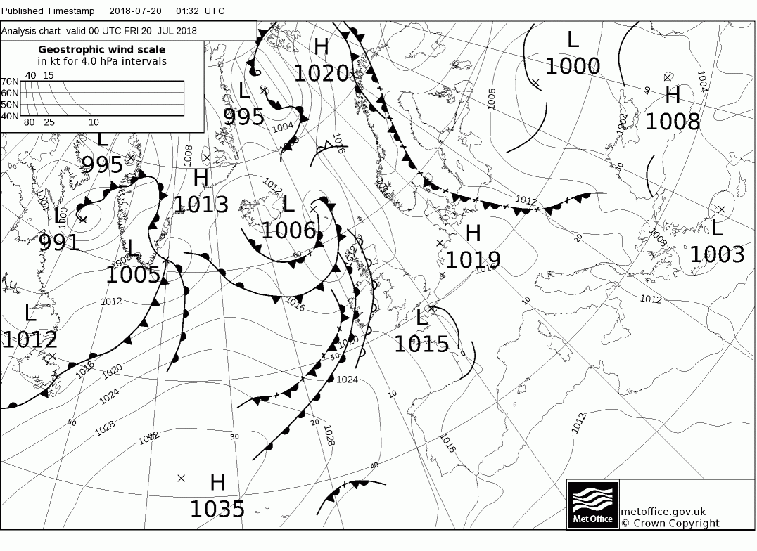
It has been cloudy in many places overnight
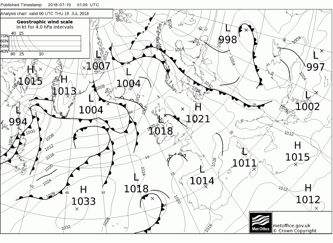
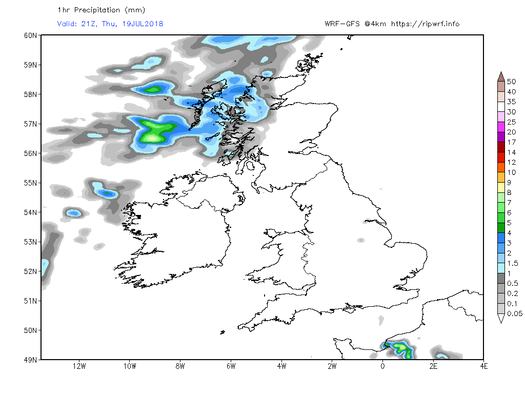
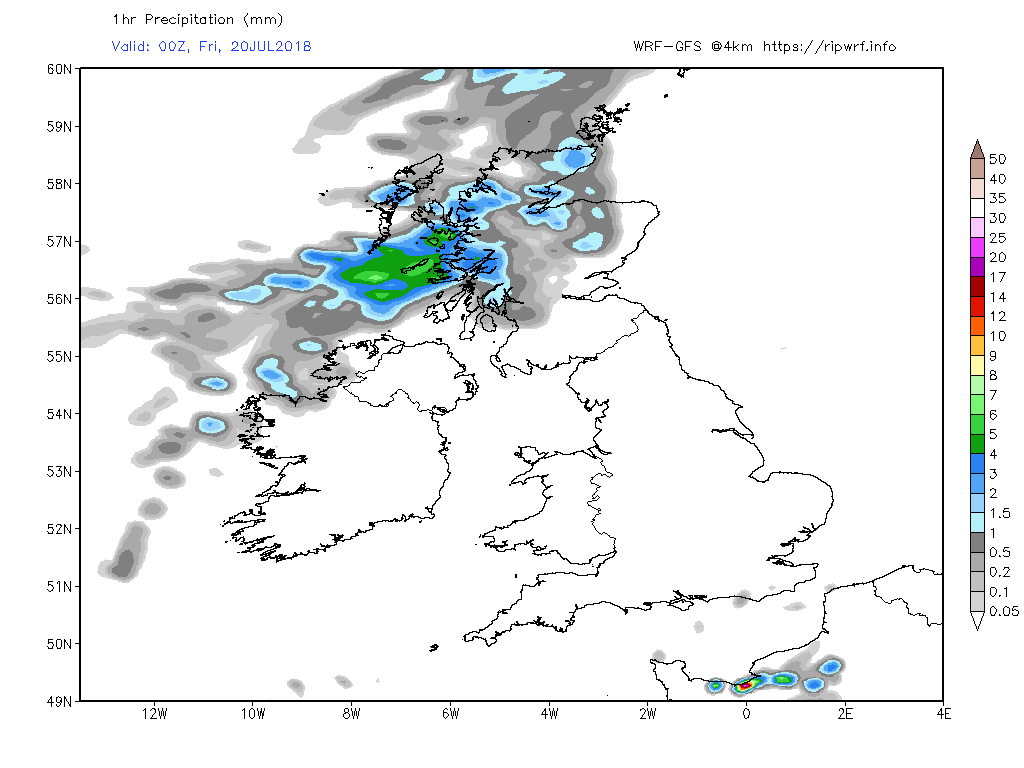
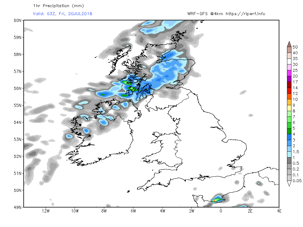
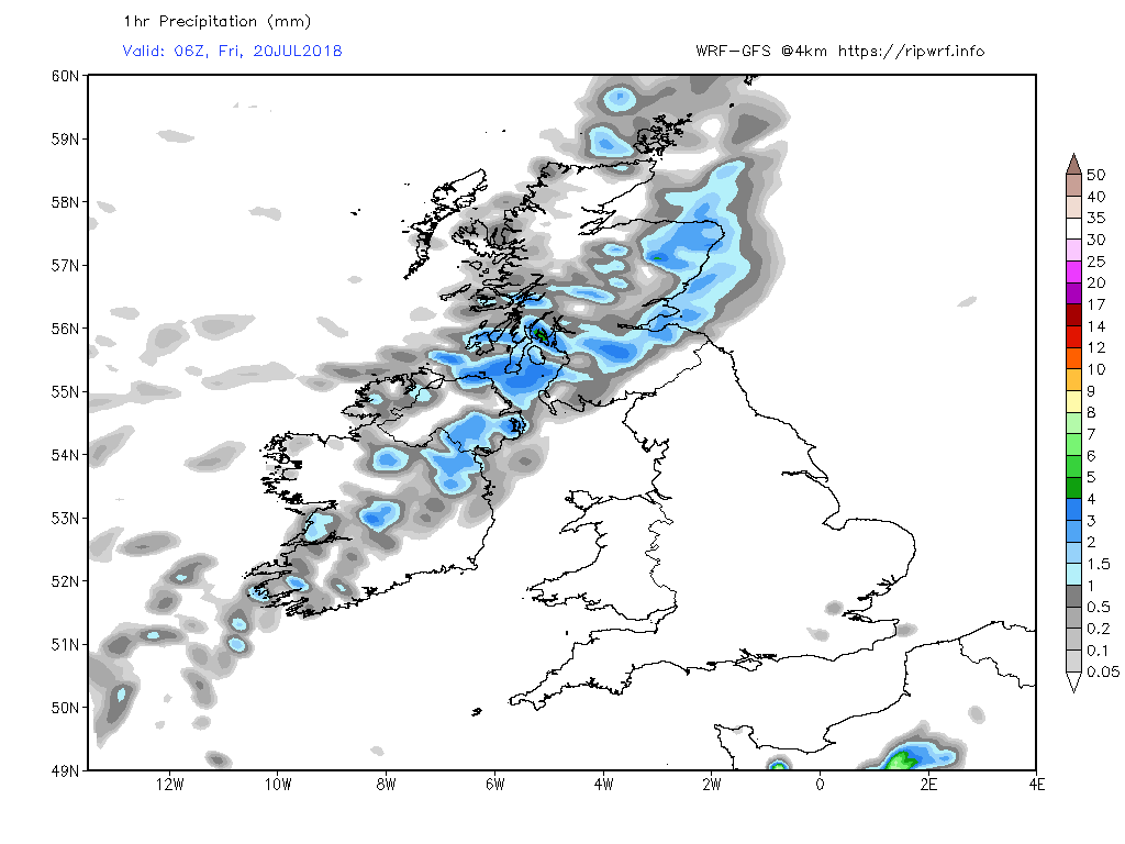
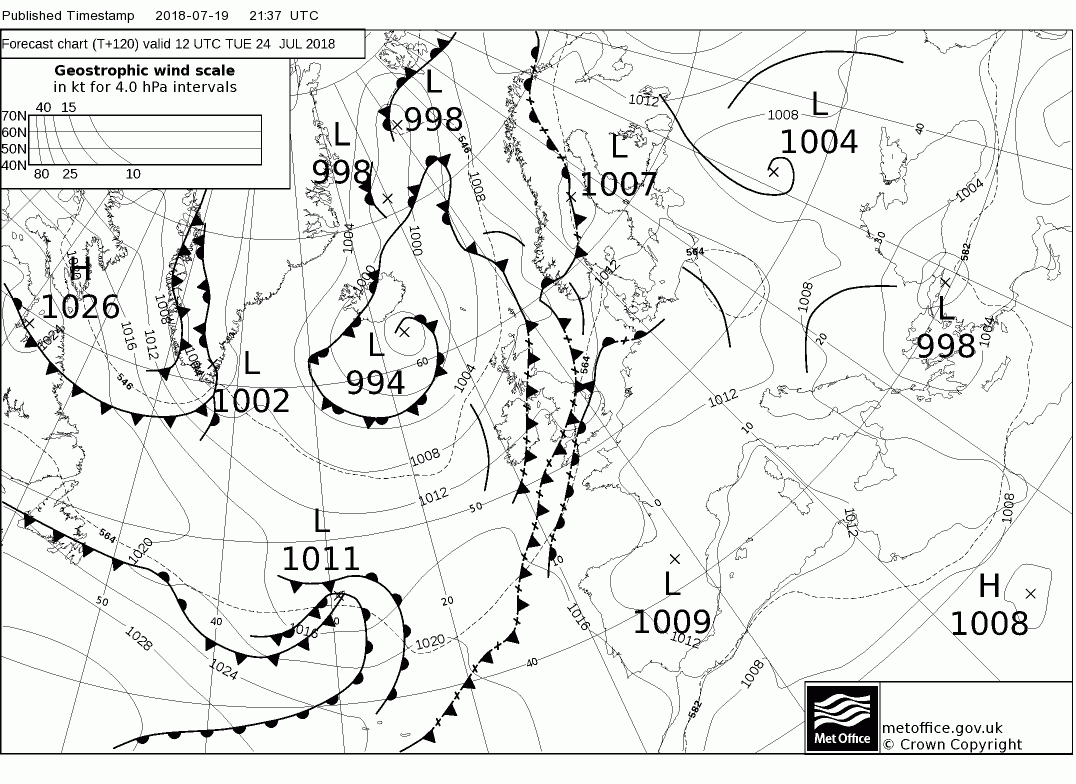
And this patchy cloud is likely through the day but in areas with clear periods it will get quite warm in the light winds. Might be the odd shower in the north of England and southern and east Scotland. But through the evening some cloud and patchy rain will effect north west Scotland courtesy of fronts associated with a low east of Iceland.
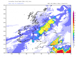
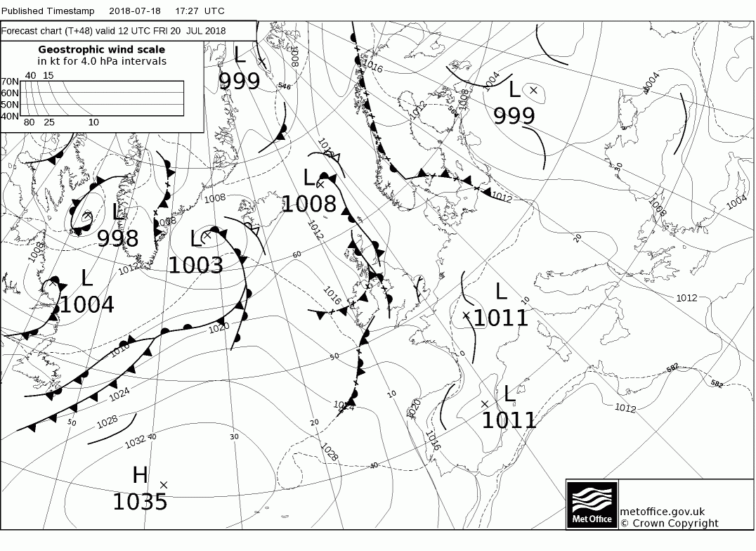
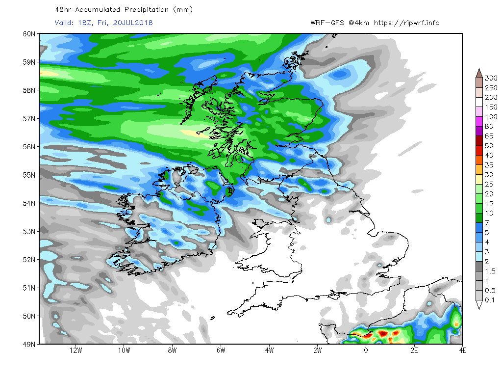
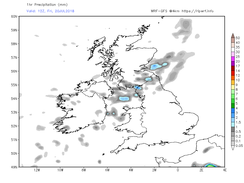
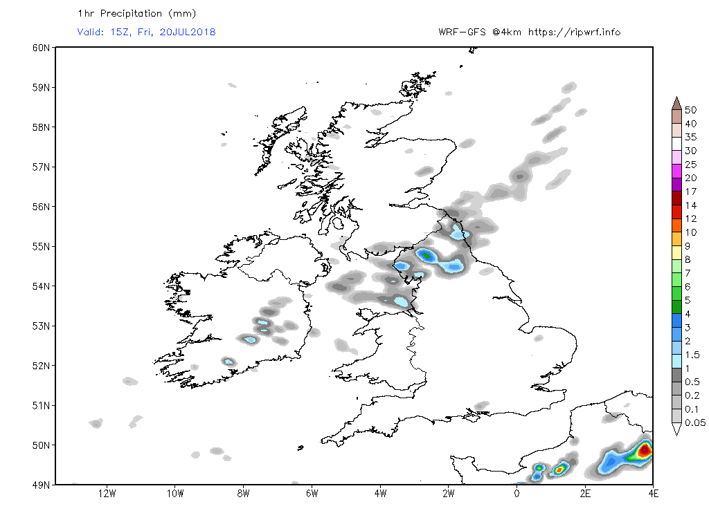
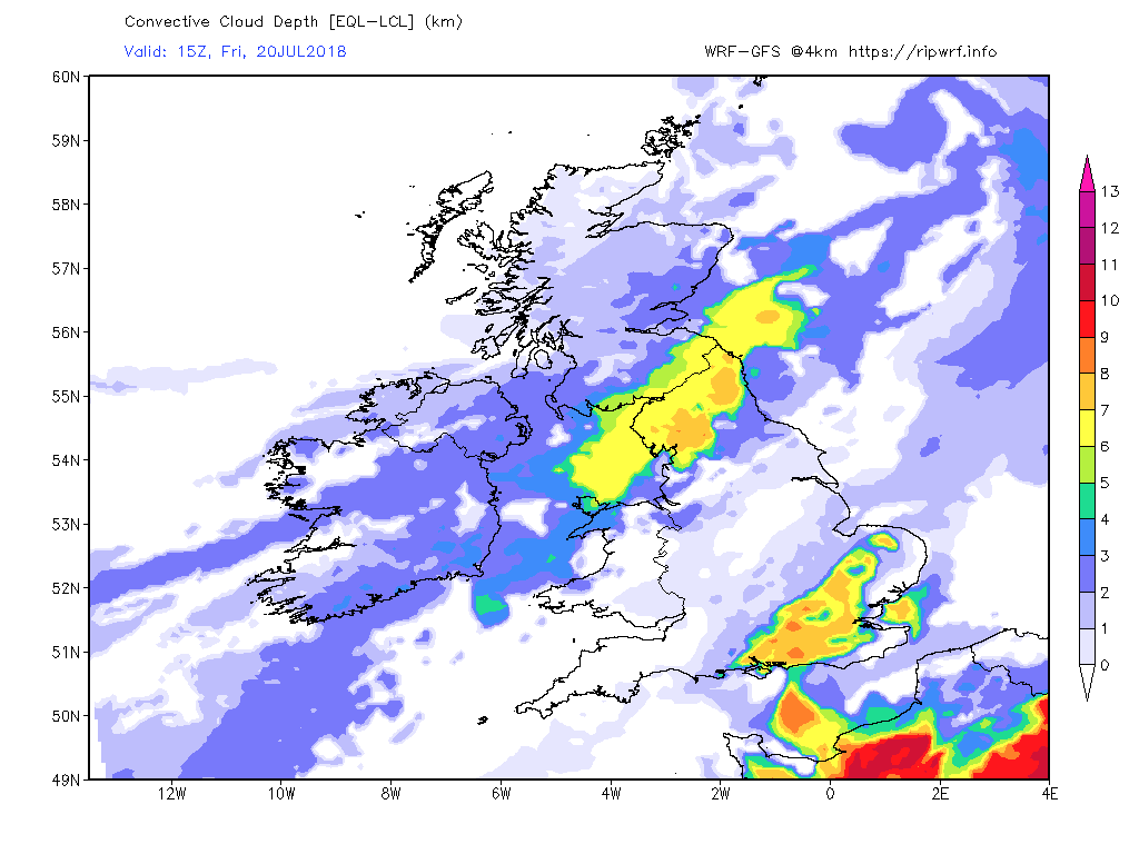
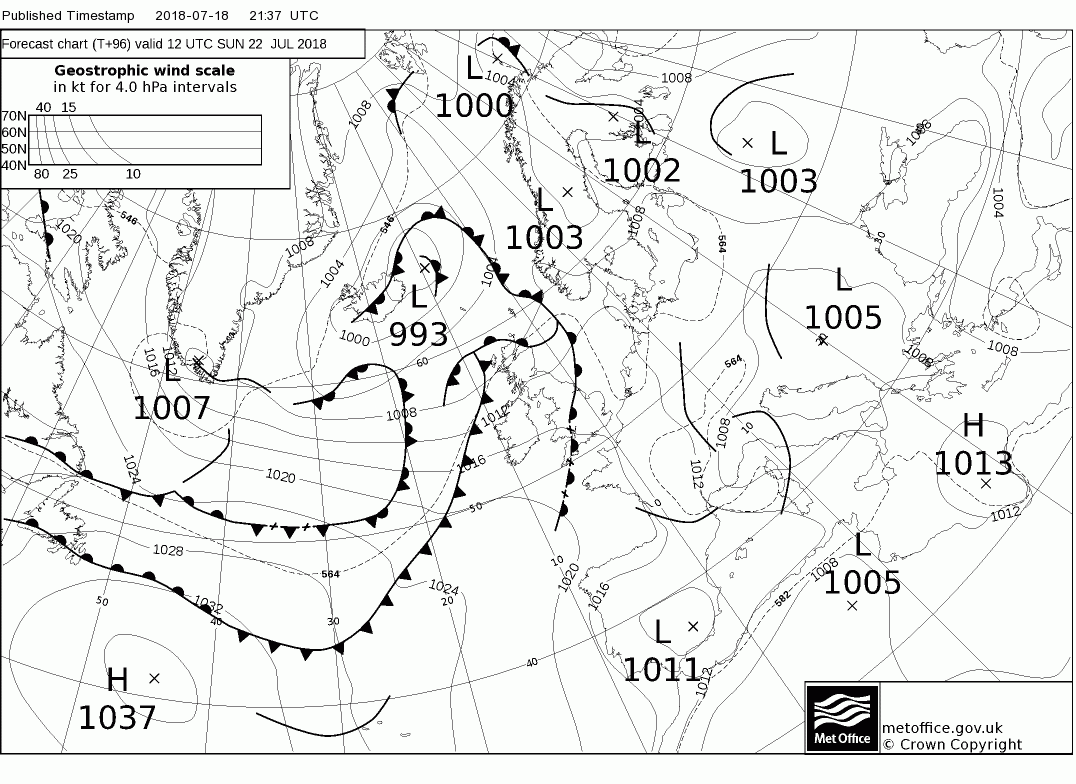
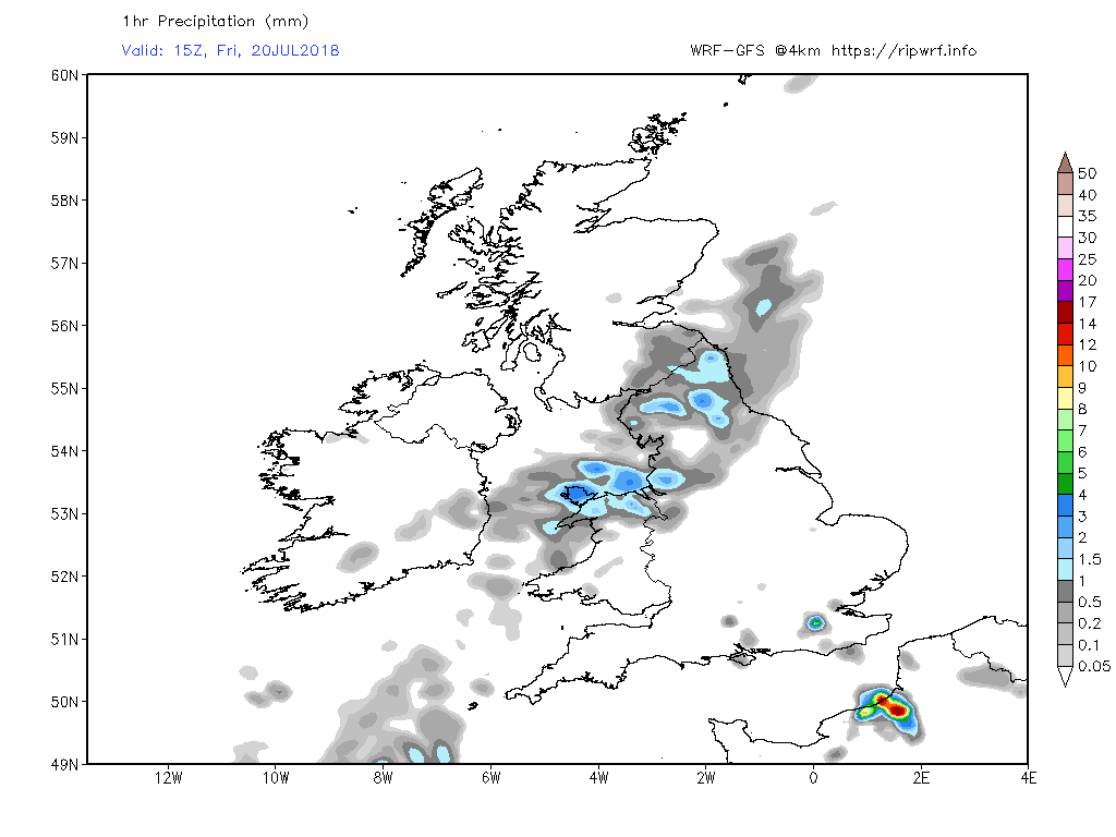
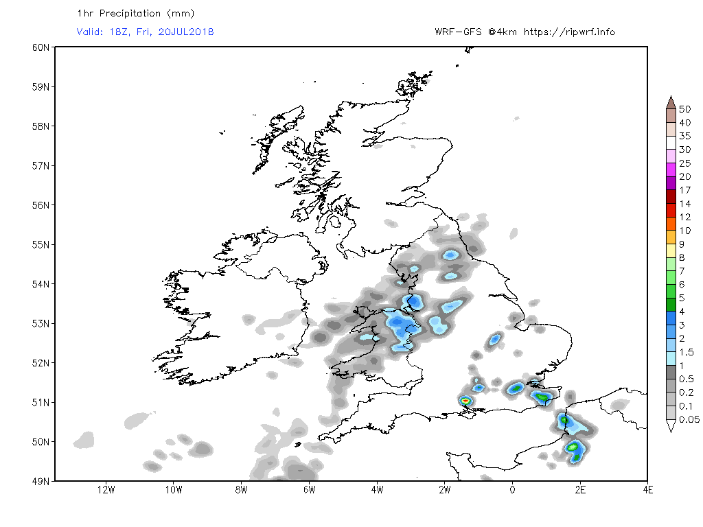
The fronts and associated cloud and rain will push east overnight Thursday through Friday into the rest of Scotland, N. England, Wales and the west Midlands but all the time weakening against the ridge whilst the south east becomes increasingly humid and warm. This could well trigger some storms, particular along the convergence line.