- Messages
- 6,299
- Location
- Norfolk, England
- Thread Starter
- #1,777
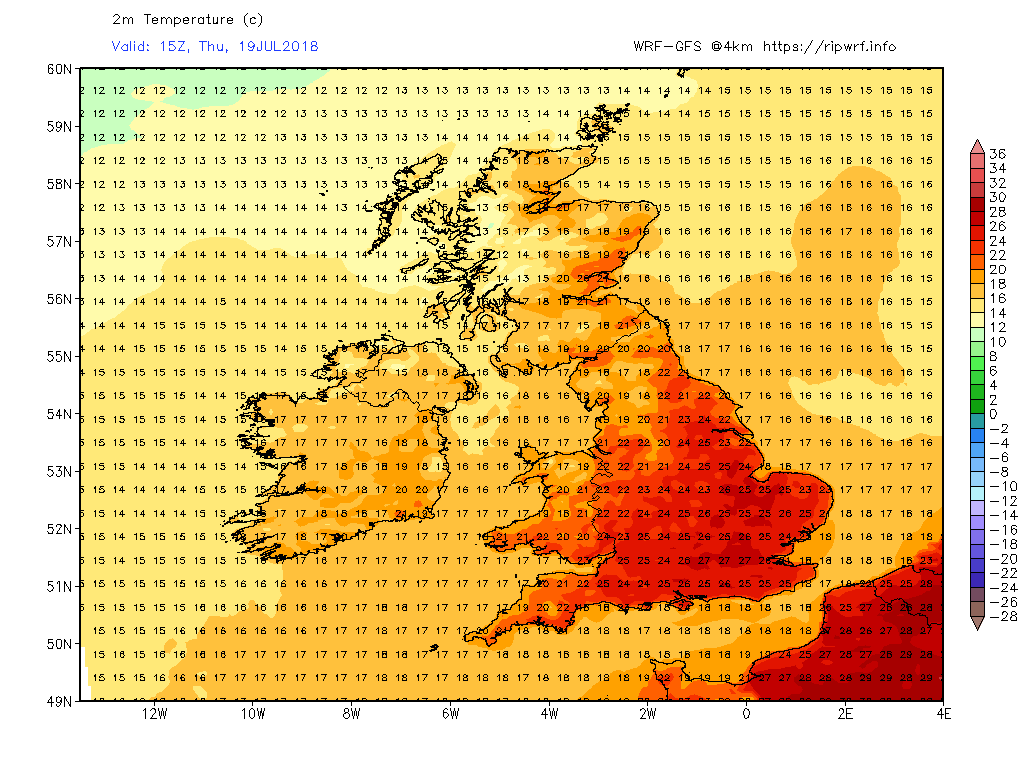
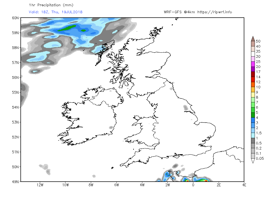
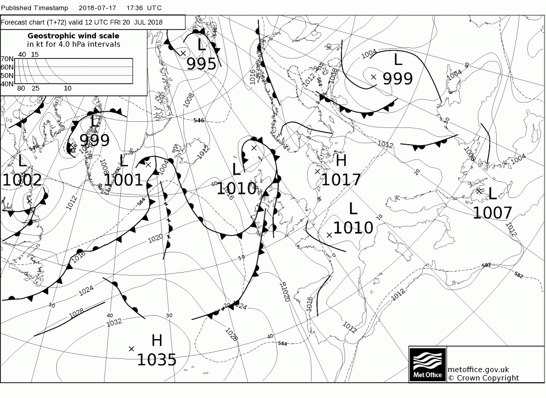
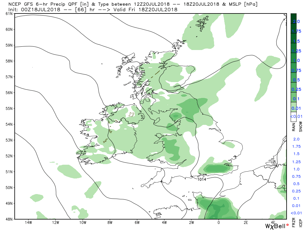
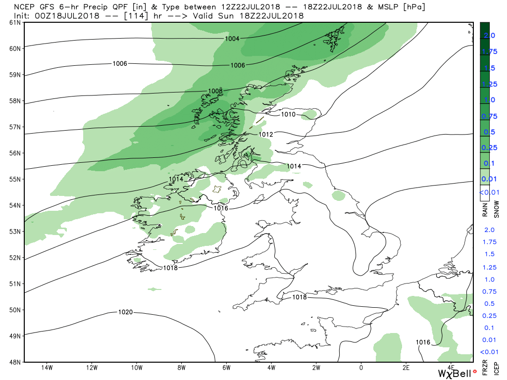
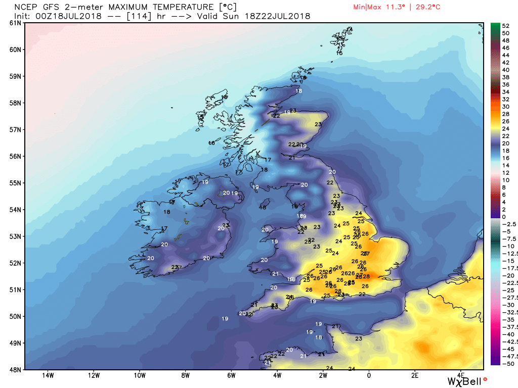
Liam Dutton has a video on prospcts for a hot weekend and the possible end of the drought next week for some:
Last edited:
Next week is the more likely timeframe for something substantial, especially in your area, Colum.Couple of brief showers of rain round here, not end of drought rain though.
Malcolm hasn't posted his short-range synopses for a couple of days, but I should be able to post with some thoughts later; it's too hot for now, though!
We got our never ending rain again since last night Chris, stop whatever you're doing, it's not smart and it's not funny ... you're a very naughty man !
JohnnyO. o/
Don't worry, Johnny, the drought is set to return for you, and it's never stopped for us. By late next week, my area could be hitting 40C (104 in old money). This is getting scary.
For olde guys like me, when we get this type of weather in July/August, we call it summer Chris, not drought.
JohnnyO. o/
It's similar, but the one crucial difference is that we had a wet winter (partly through snow) and spring this year, hence why not all water companies have introduced hosepipe bans yet. In 1976, that summer followed a dry winter and spring and a fairly dry summer the previous year, hence the shortages.Eeeh the summer of 76!
Although it's been a clear night for many cloud associated with the weakening occlusion is effecting mainly western areas as can be seen on the 0300 satellite image and the midnight Camborne sounding.(frontal surface inversion? and Ci )
This will probably continue through the day with showers popping up in western and northern areas whilst elsewhere it will be dry and sunny, albeit not as warm as of late.
The showers will die out during the evening leaving a partially clear night, some cloud will linger, portending a dry and sunny day on Thursday, perhaps the odd shower in the north east and becoming warmer again in the south east. But by early evening a frontal system associated with a shallow low south east of Iceland will bring cloud and rain into north west Scotland
Overnight and through Friday the fronts will struggle south east against the ridge which creates a marked NW/SE split with cloud and patchy rain in the north and sunnier and increasingly warmer temps in the south.
By Saturday the fronts have coalesced into a weakening occlusion straddling the country so perhaps still some light patchy rain in places and maybe the odd shower popping up in the warmer south east.( as usual the model temps are merely a guide). But a new frontal system associated with another low over Iceland will bring more cloud and light rain to north west Scotland during the evening.
This rather messy frontal structure will bring cloud and some patchy rain to N. Ireland and western Scotland on Sunday, and perhaps western areas in Wales and England also whilst the south east becomes increasingly warmer as the old occlusion clears to the south.
It's been 45-50 days since the last measurable rainfall in much of southern and eastern England, almost as long as the country went in 1976. By all accounts, the longest ever period without rain was 73 days in London in the 1890s, so, down here at least, I think it qualifies.