UK meteorology

Apologies for not posting today. My anxiety is very bad at the moment and I'm rather busy, but I should be able to post again as normal tomorrow. It's very warm here, with almost no cloud; wonderful conditions for mid-April.

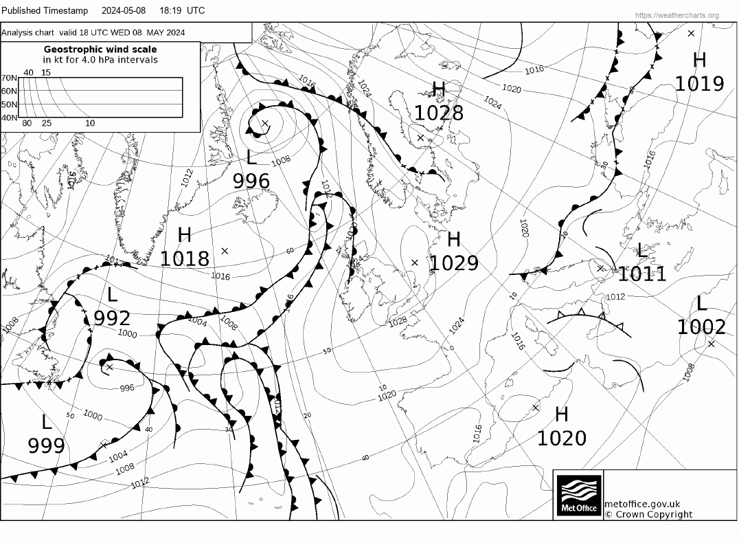
In Dumbarton that would be wonderful conditions for mid August, Chris. We managed up to 16C today under the clouds, still, it was dry ! Sorry you're in a rough patch at the mo, hang in there m8.

JohnnyO. o/
 
In Dumbarton that would be wonderful conditions for mid August, Chris. We managed up to 16C today under the clouds, still, it was dry ! Sorry you're in a rough patch at the mo, hang in there m8.

JohnnyO. o/
Cheers Johnny - I intend to get back to posting shortly - for now, members might want to research a Spanish Plume as that's likely on Saturday, at least in southern Britain.
 
Last edited:
No post so far from Malcolm this morning.
Today's FAX:

1 = High to the south-east drawing warm air from the south over the UK
2 = Weakening cold front heading east; this is only expected to bring cloud and slightly lower temperatures
3 = Troughs and a front heading into western and northern Scotland as Atlantic low increases its influence
4 = Low pressure associated with longwave trough moving in from the west
 

Attachments

  • 20 04 2018 FAX.jpg
    20 04 2018 FAX.jpg
    338.7 KB · Views: 2
Storms are associated with the first of a sequence of cold fronts behind which is the cooler, unsettled Atlantic airmass:
PPVA89.gif
 
Plenty of lightning and thunder at mine and then about 3 minutes of sparse large drops of rain. Wish I'd watered the garden after all.
We had a reasonable amount of rain from the storms here - enough to make a difference in the garden.
FYI, Malcolm appears to have stopped posting in the short-range models thread, and, with my anxiety still being bad, my posts in this thread might not be as frequent as usual for a while.
 
FAX:

1. Front which marks the polar front jet and separates the warm air to the south and east from the cooler air from a NW'erly origin.

2. Next Atlantic low that will be arriving over the UK later this week.

3. High pressure which brought us the warm weather last week.
 

Attachments

  • 24 04 2018 FAX.jpg
    24 04 2018 FAX.jpg
    320.1 KB · Views: 3
FAX:

1. Front which marks the polar front jet and separates the warm air to the south and east from the cooler air from a NW'erly origin.

2. Next Atlantic low that will be arriving over the UK later this week.

3. High pressure which brought us the warm weather last week.
Dull and damp, all good things come to an end! :(
 
Back
Top Bottom