OP
- Messages
- 6,299
- Location
- Norfolk, England
- Thread Starter
- #1,649
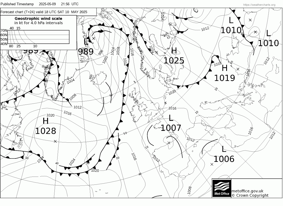
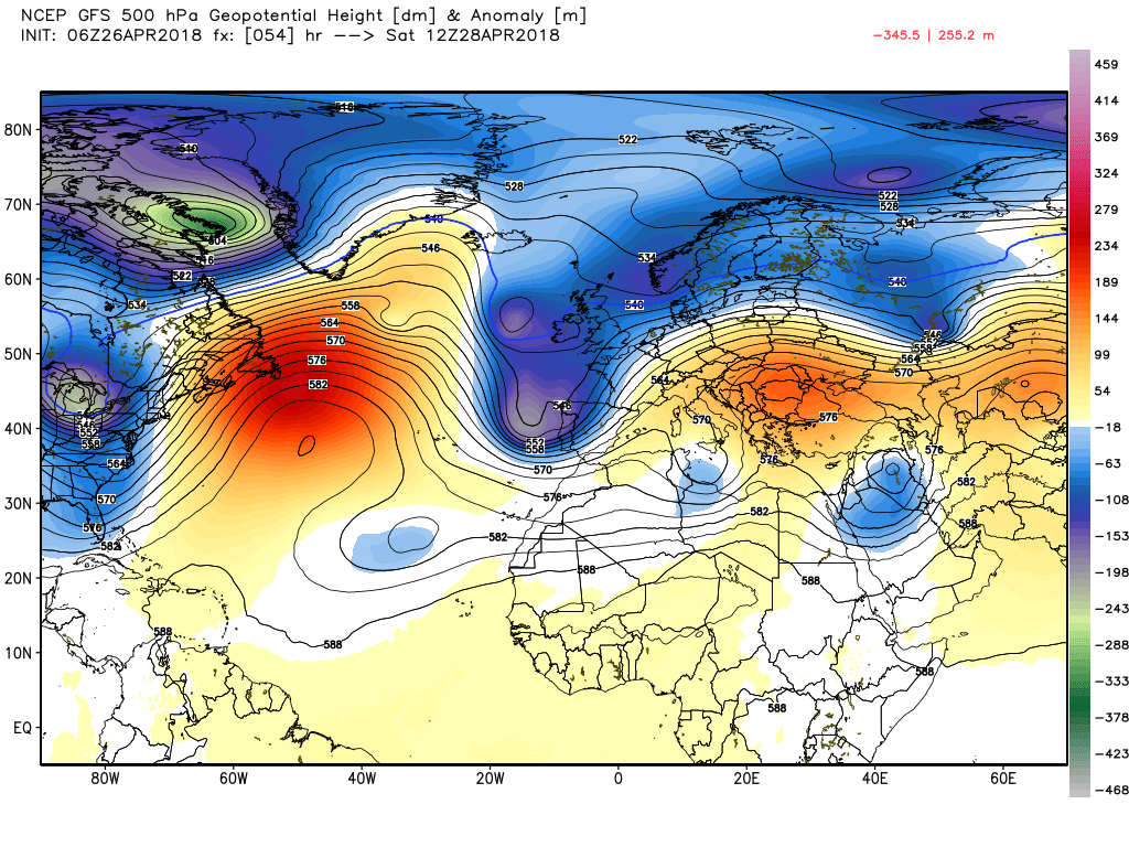
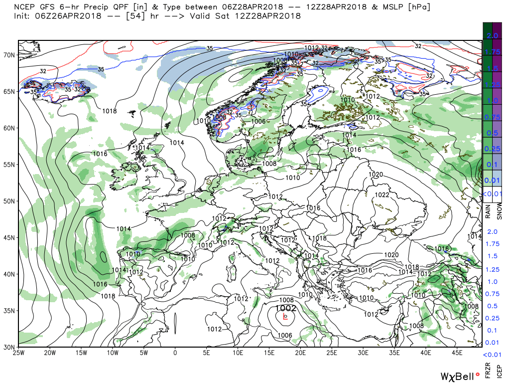
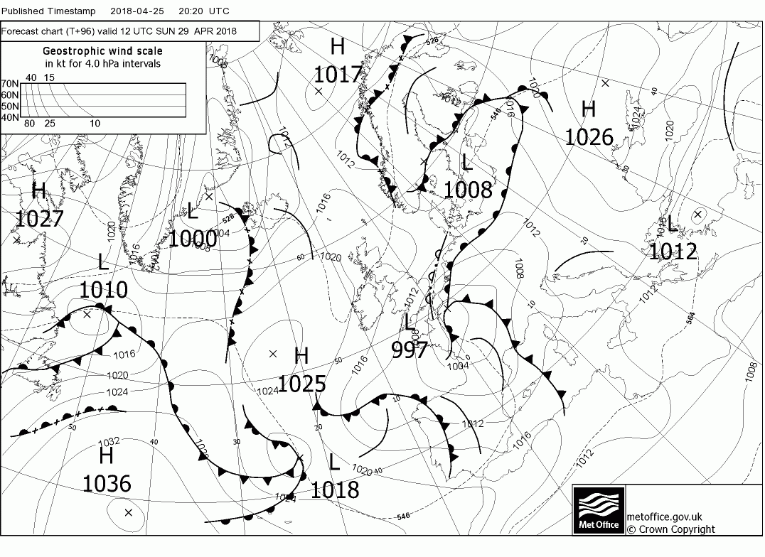
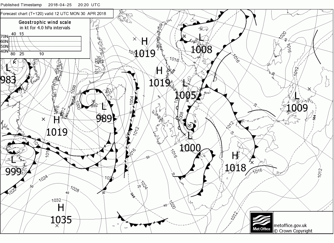
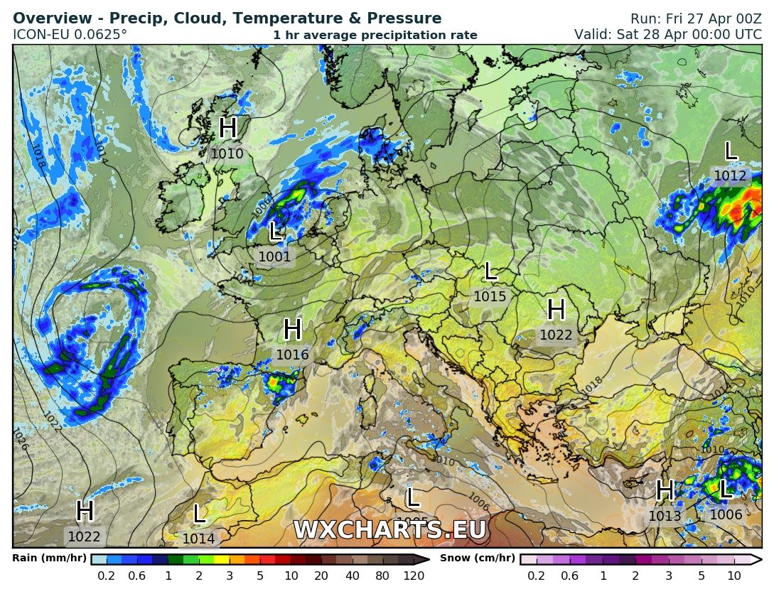
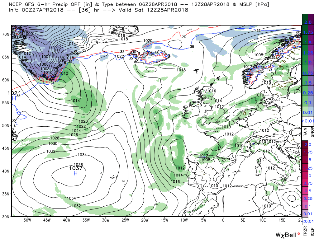
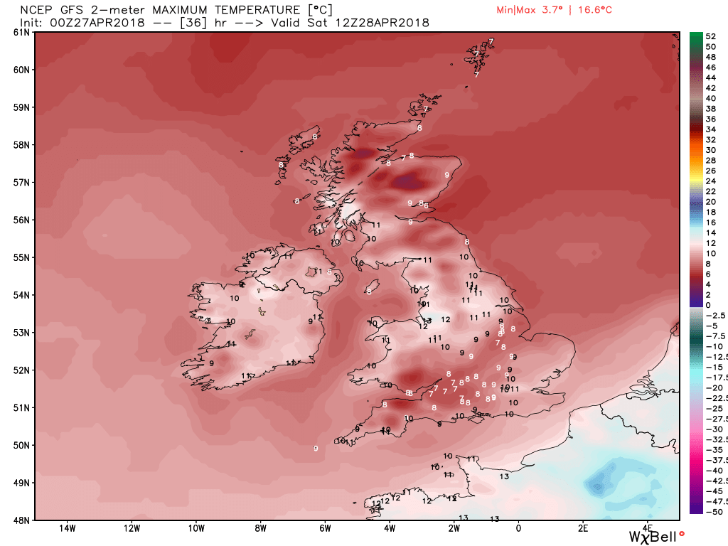
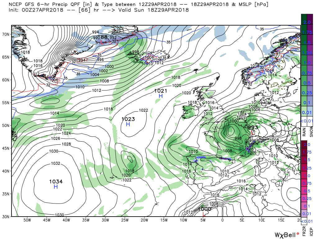
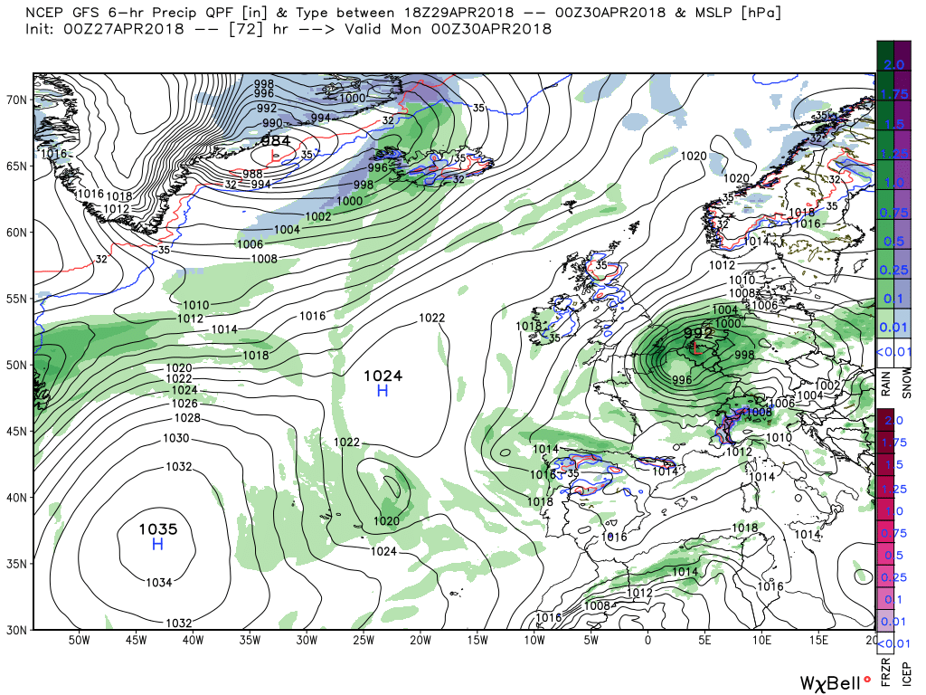
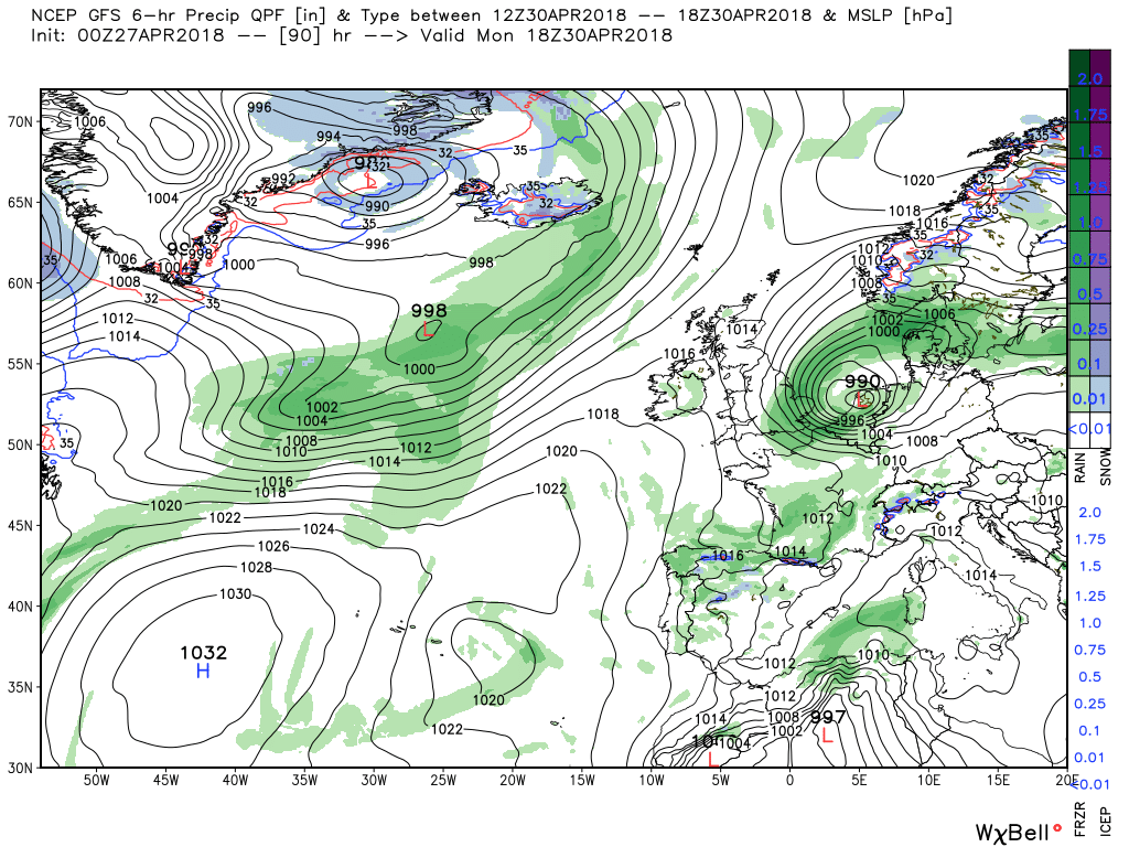
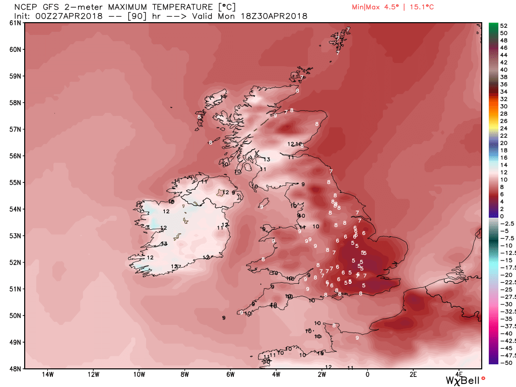
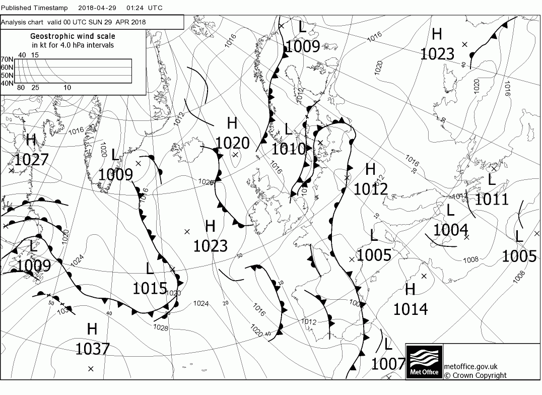
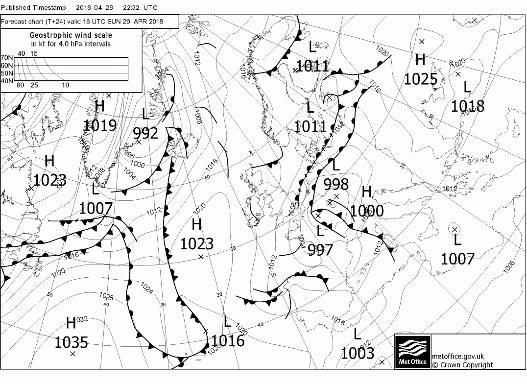
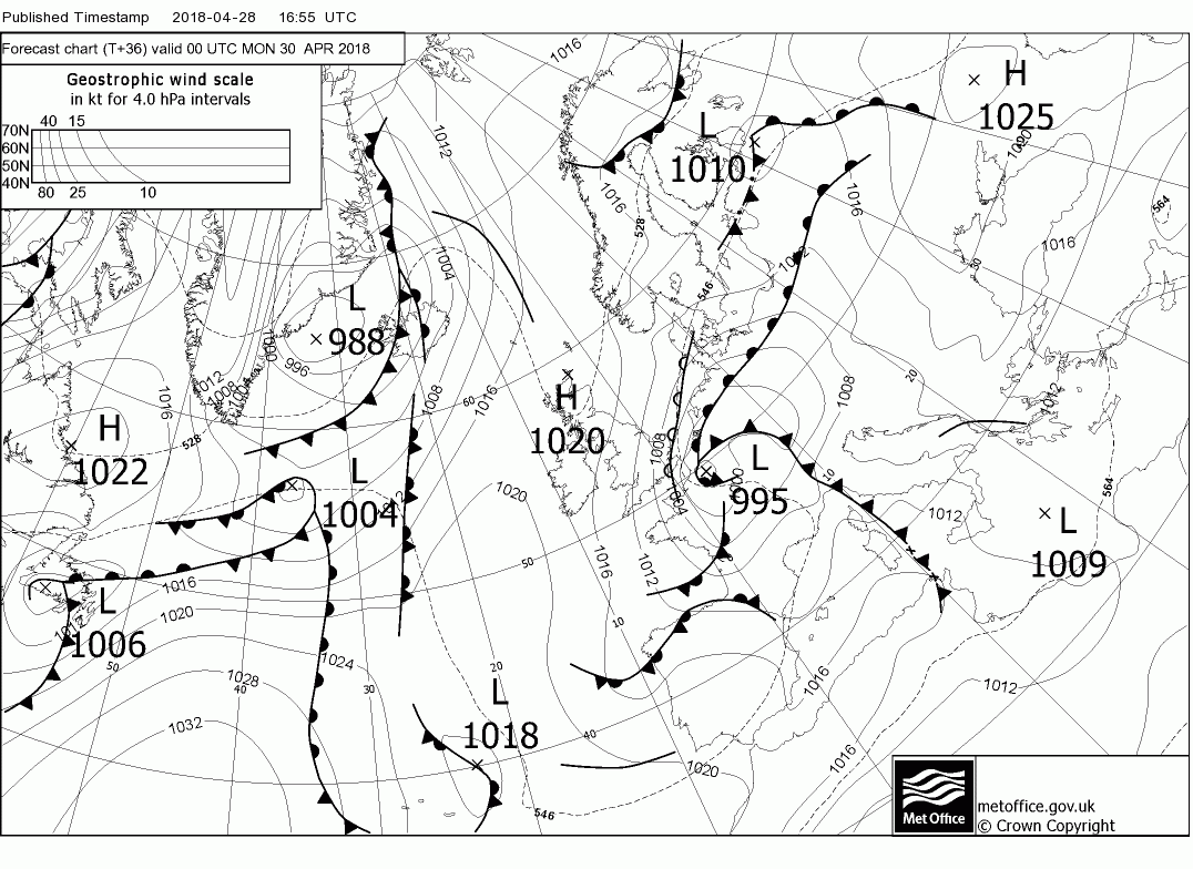
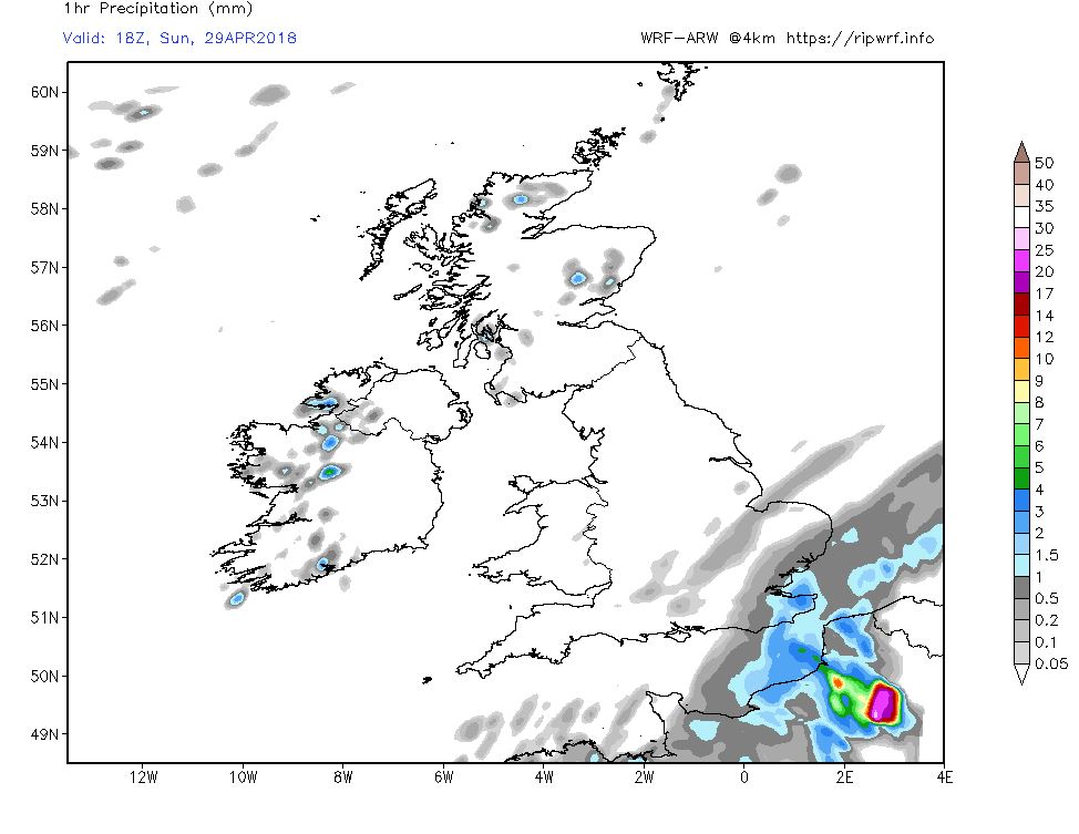
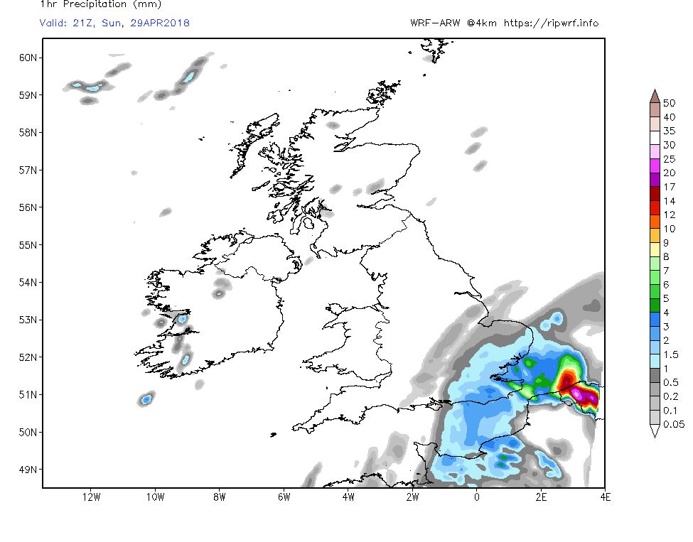
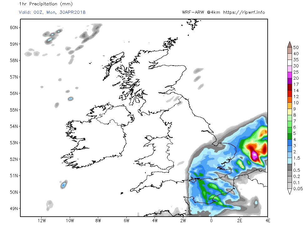
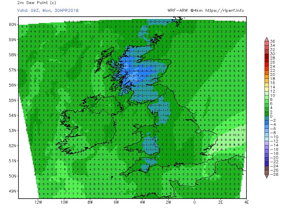
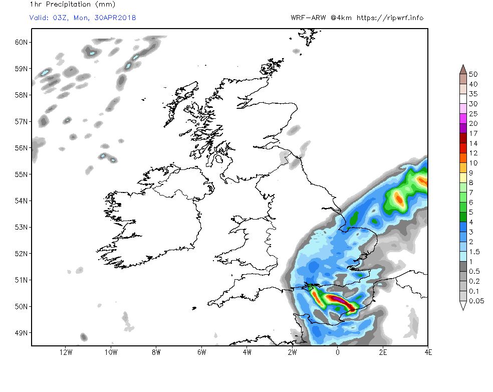
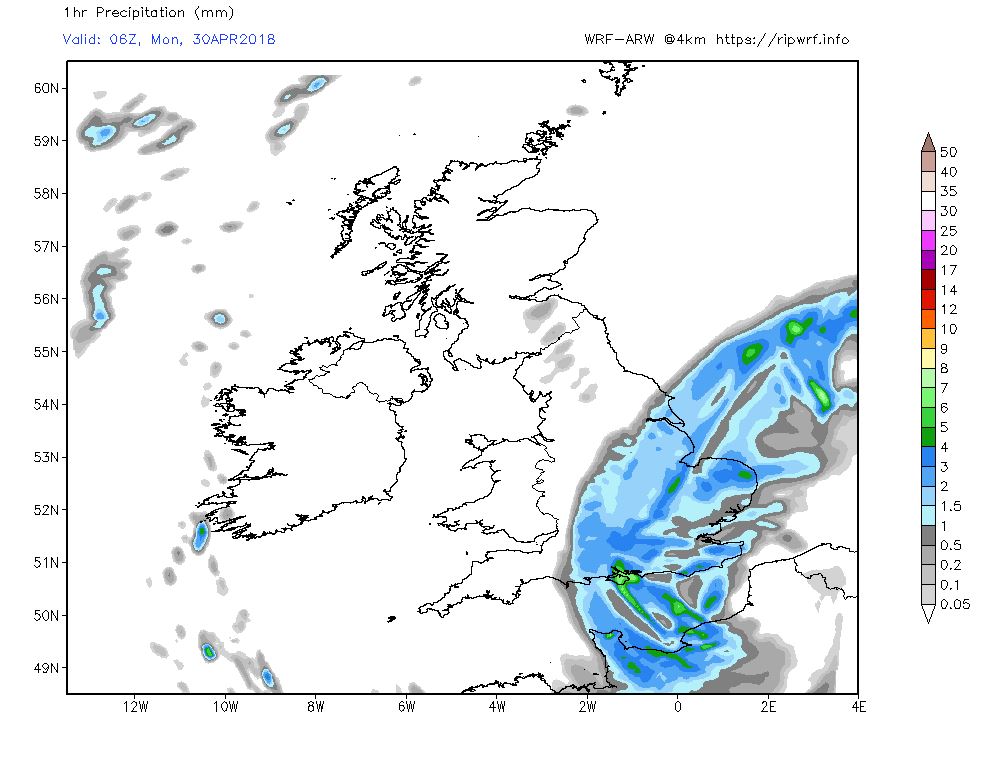
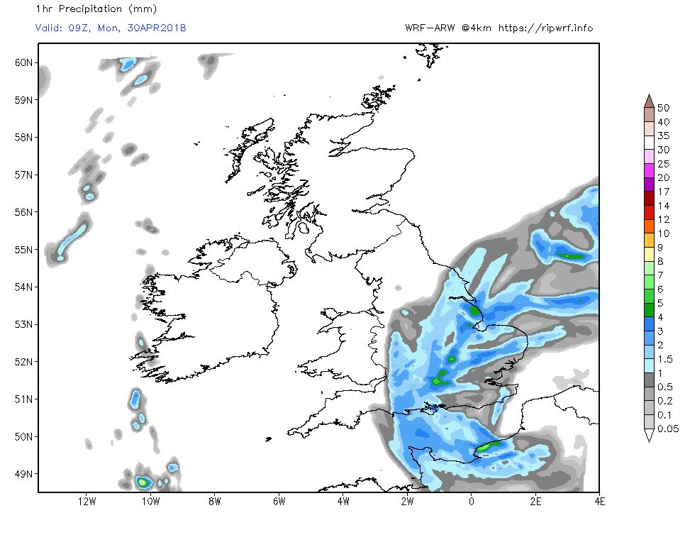
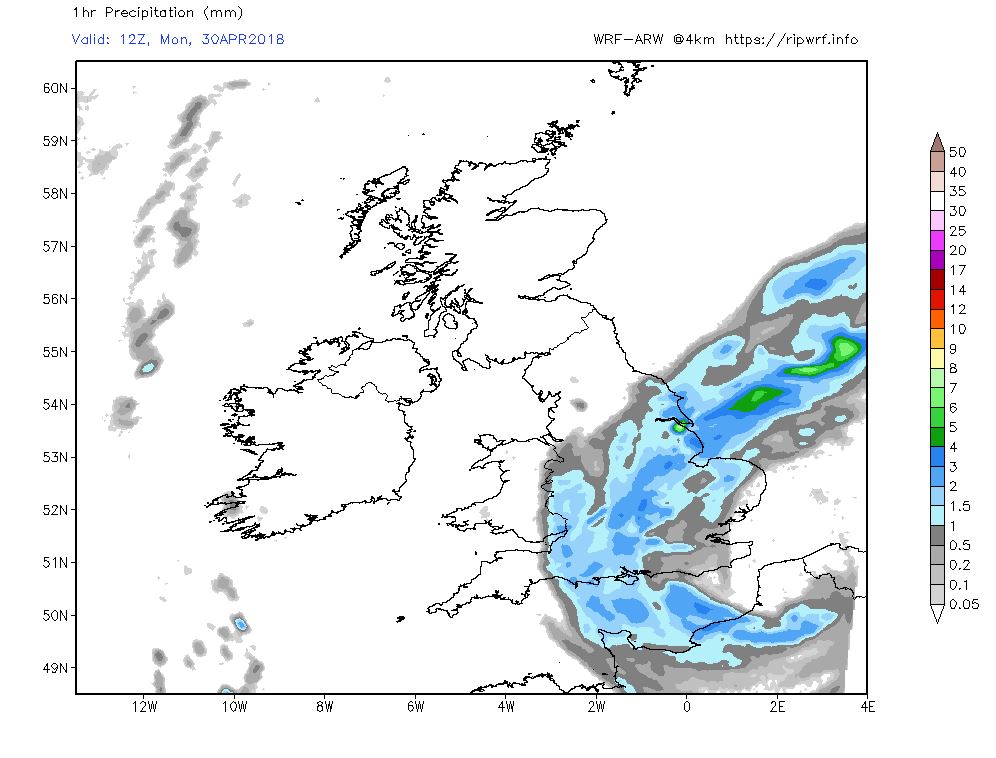
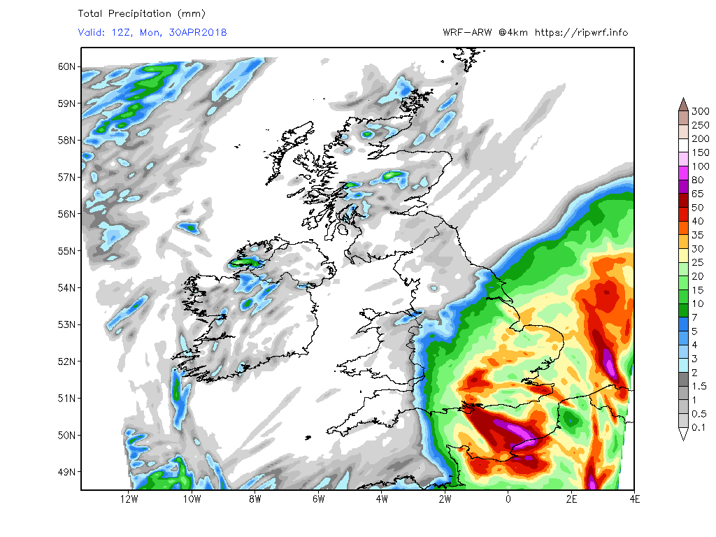
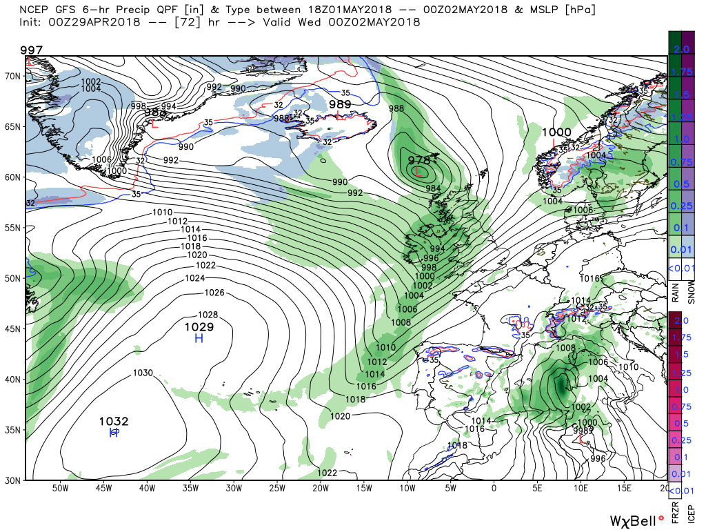
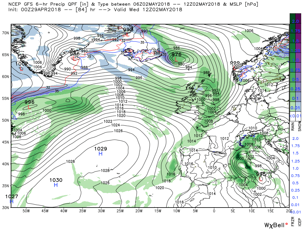
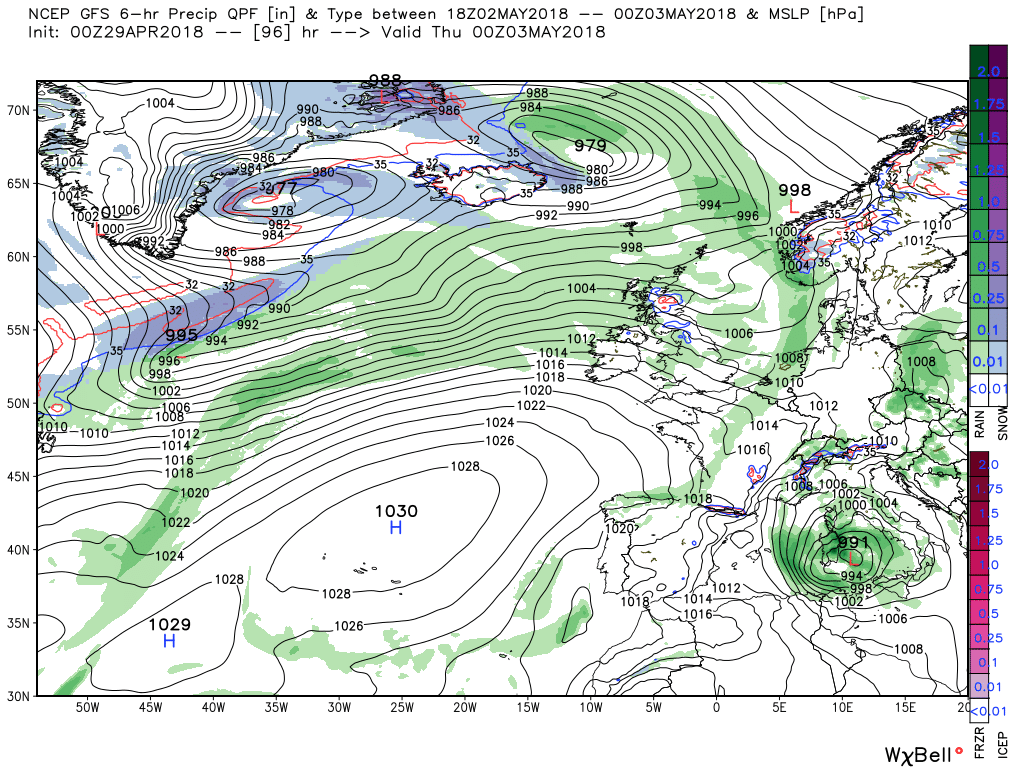
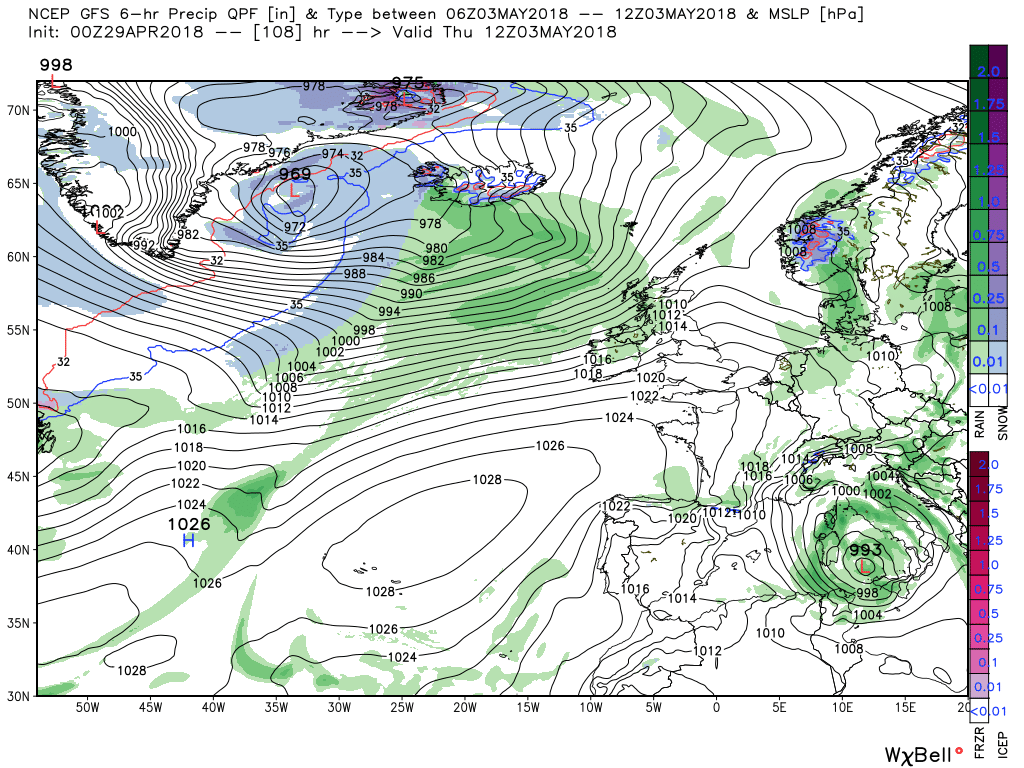
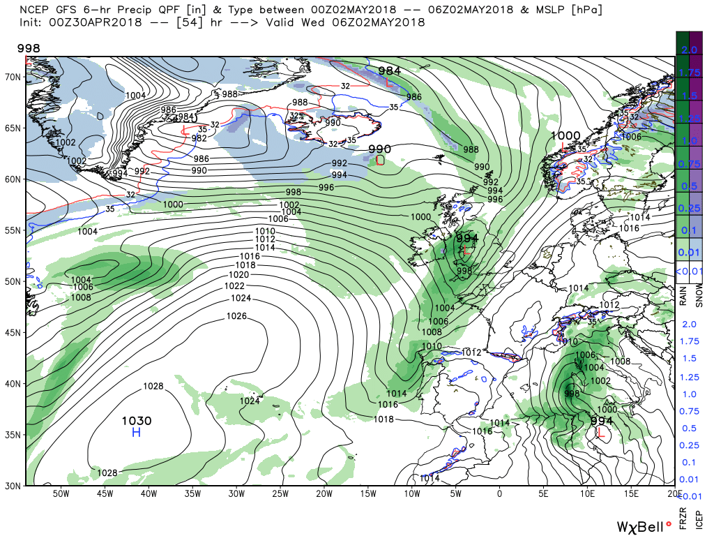
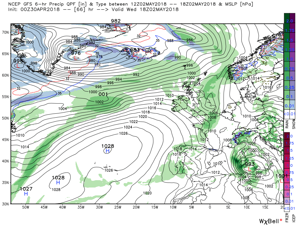
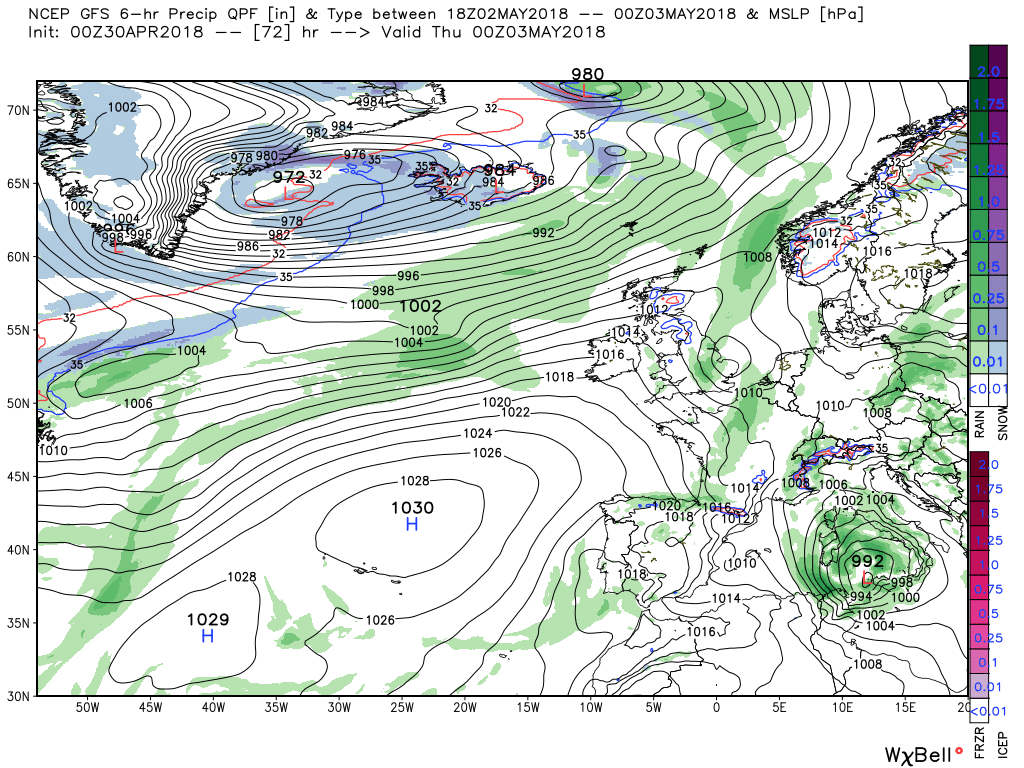
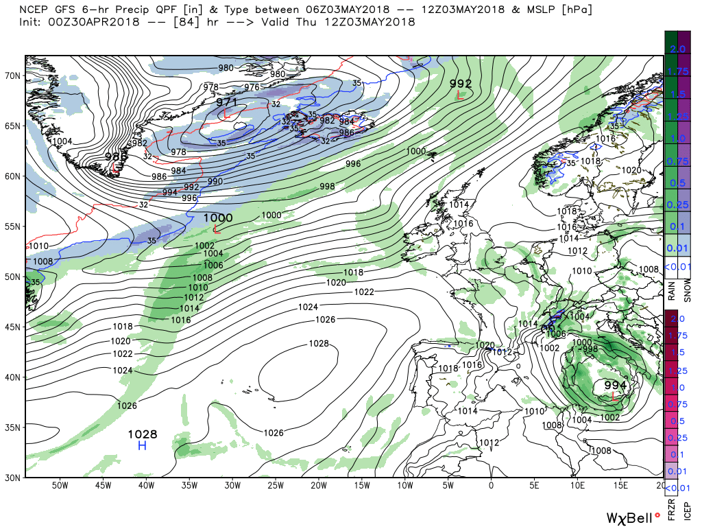
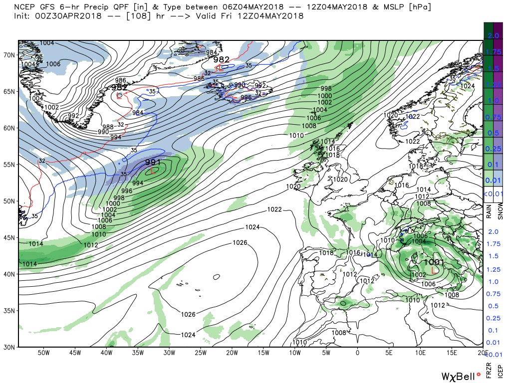
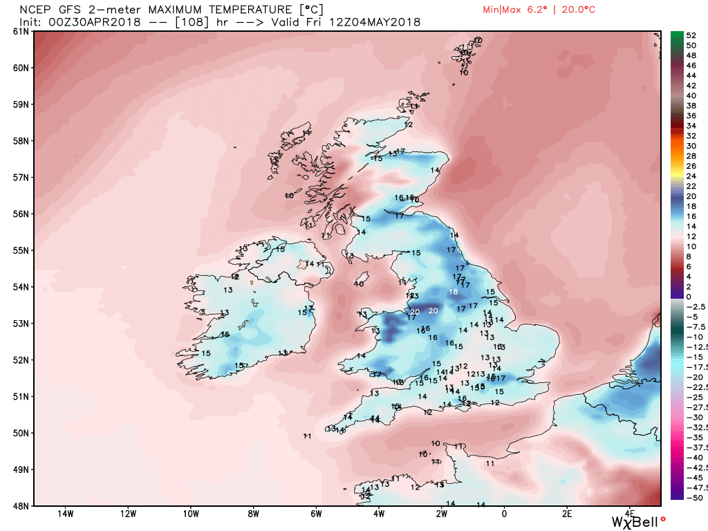
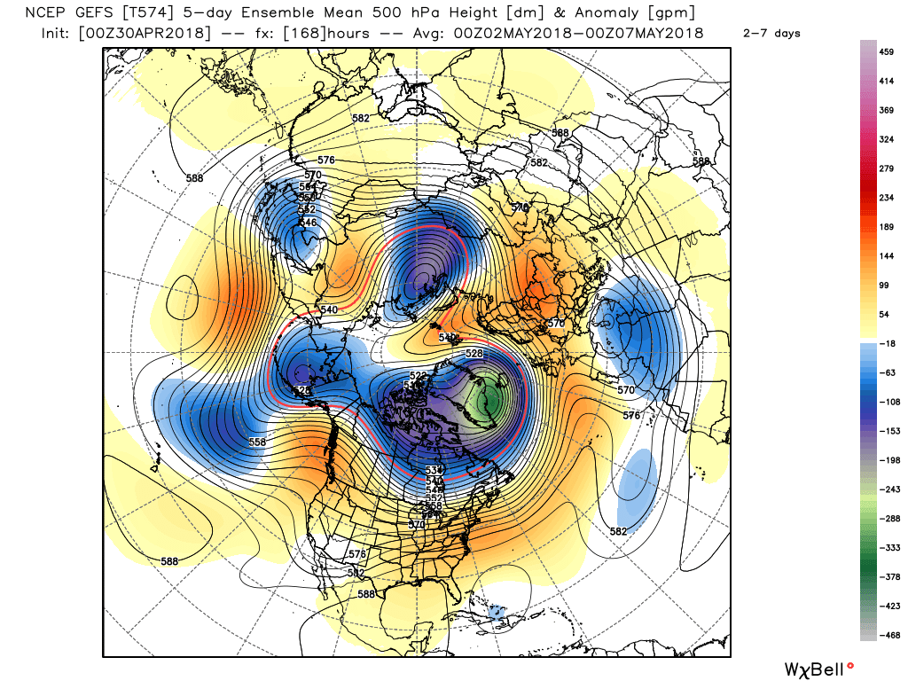
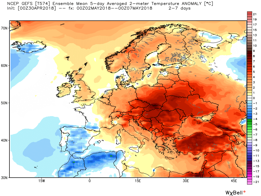
Possibly quite showery tomorrow in the unstable airmass behind the fronts, on particular if we have any diurnal heating of the ground from sunlight which warms the boundary layer (first few dozens of metres of the air column) and thereby makes it buoyant.Dull and damp, all good things come to an end!
On a not unrelated subject, though I am by no means knowledgeable in physics (I'm mathematically inept if nothing else), I do enjoy the Youtube channels fron Nottingham University, including the channel devoted to physics, and I thought I'd embed a new video of theirs on thunderstorm formation: