OP
- Messages
- 6,299
- Location
- Norfolk, England
- Thread Starter
- #1,665
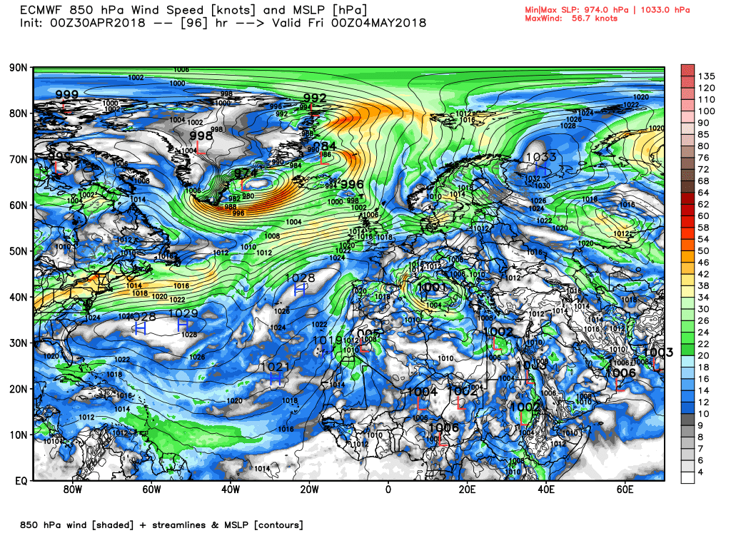
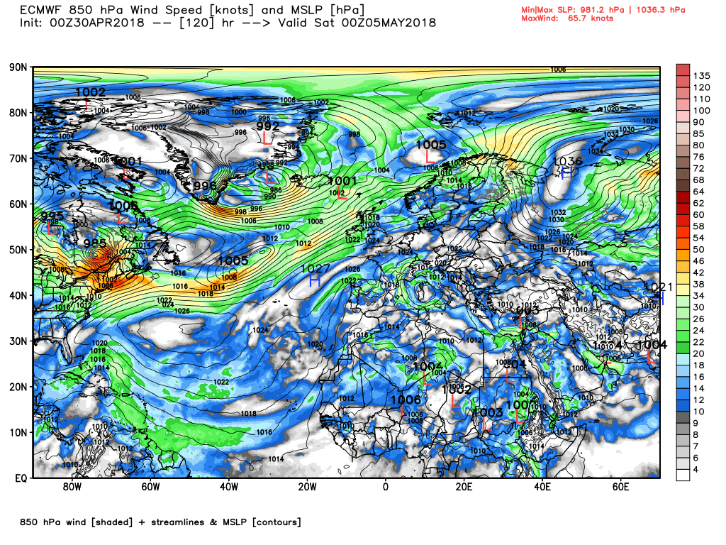
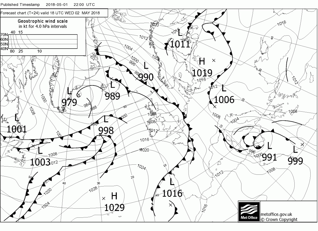
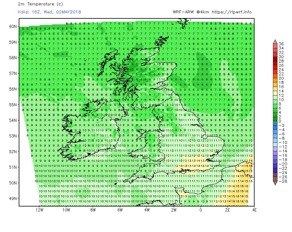
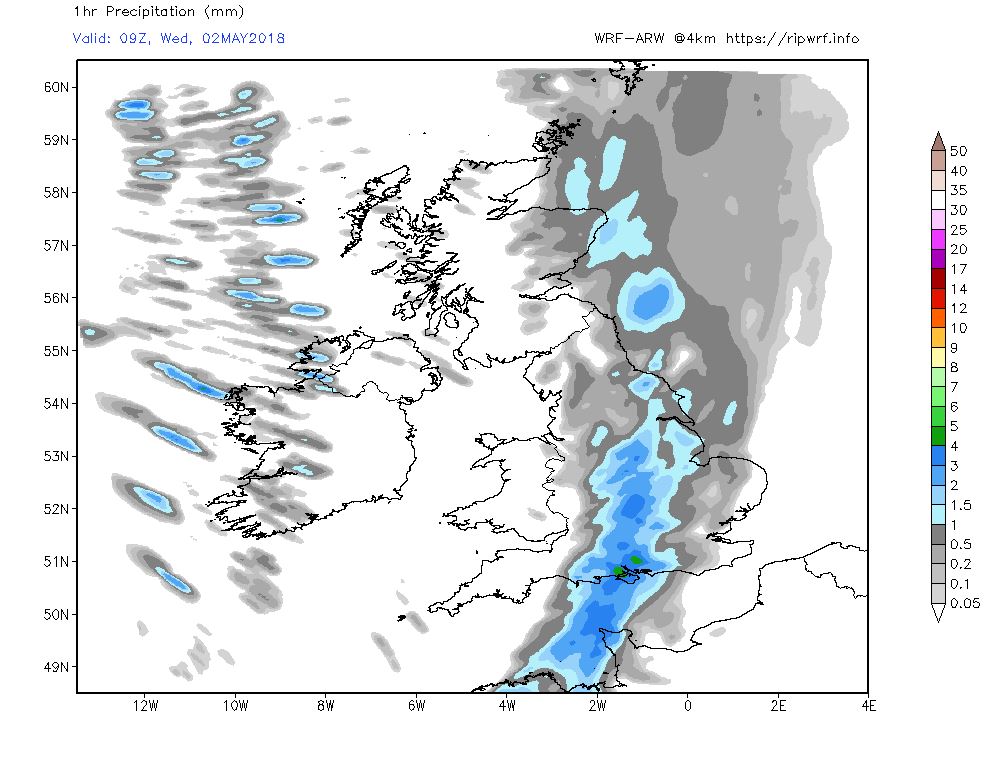
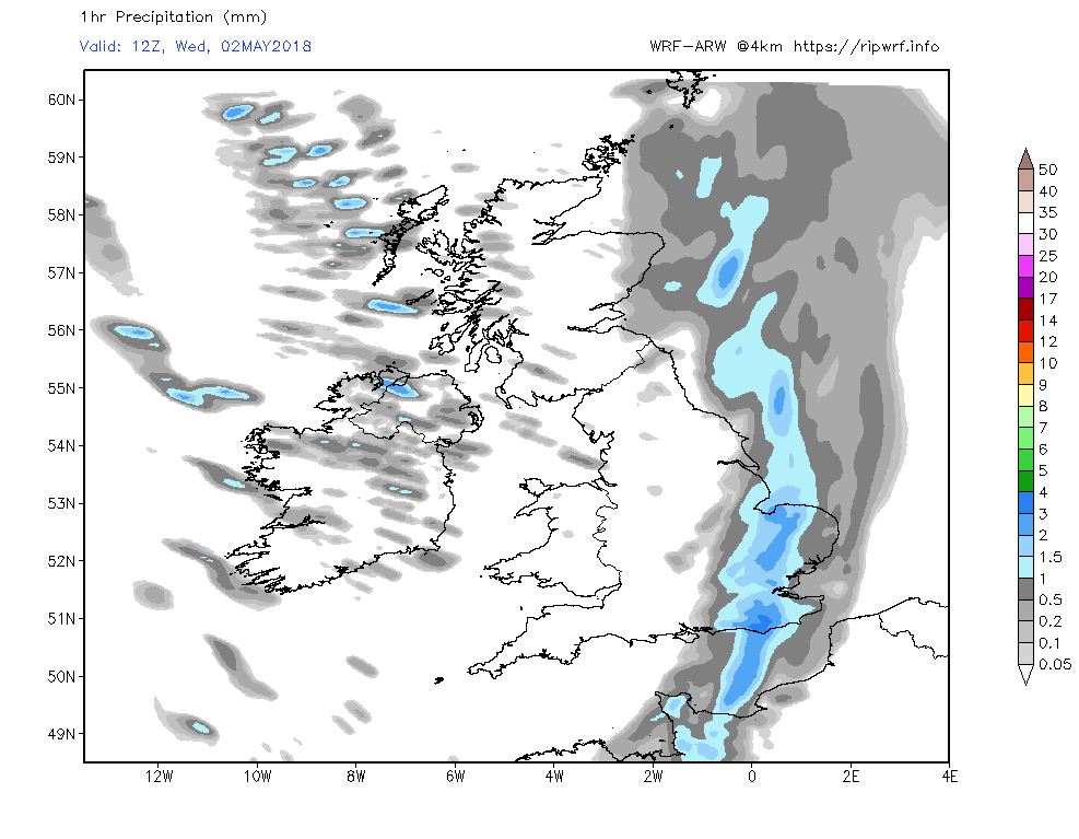
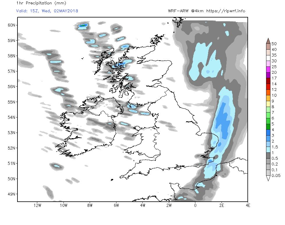
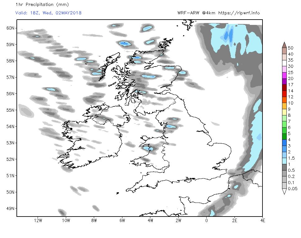
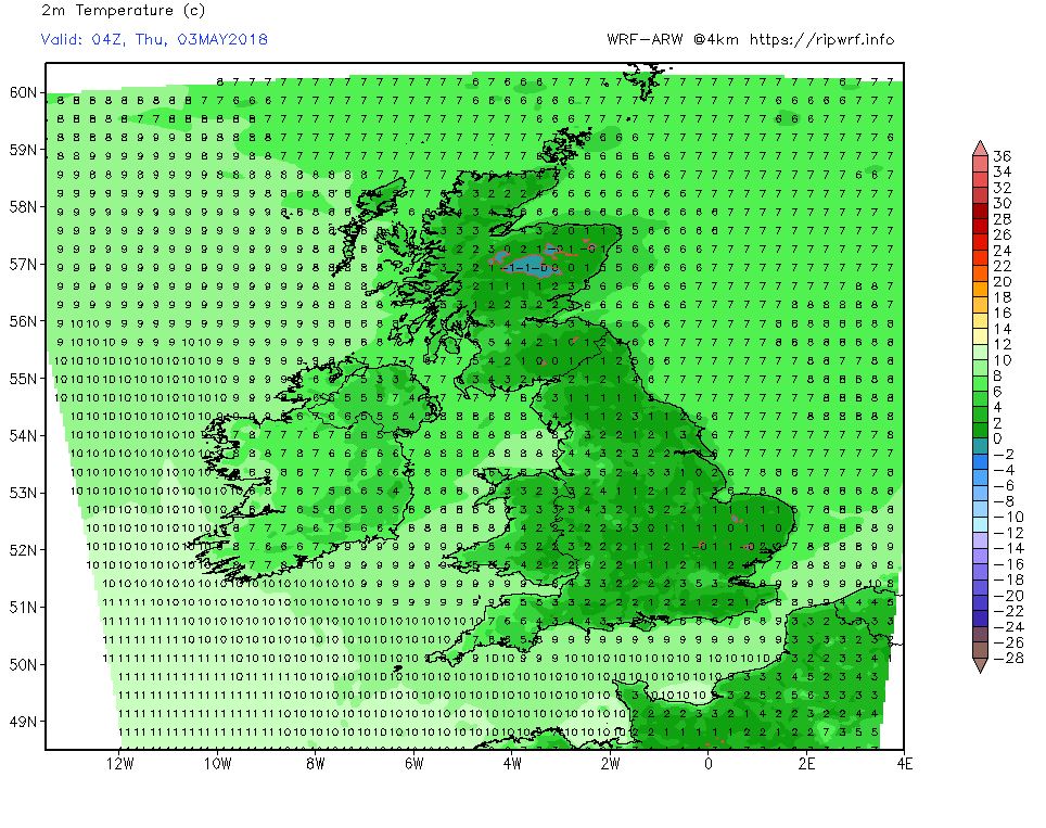
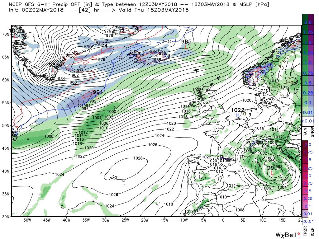
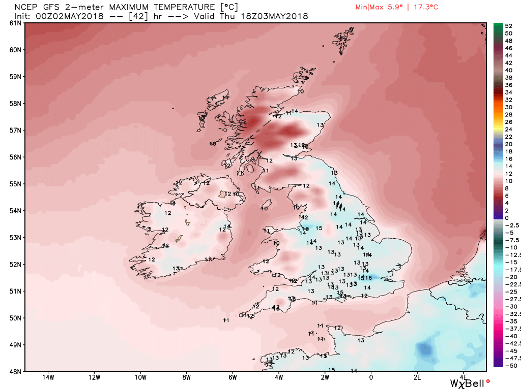
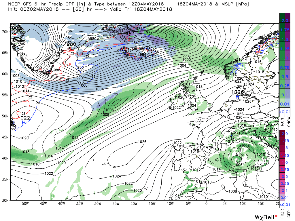
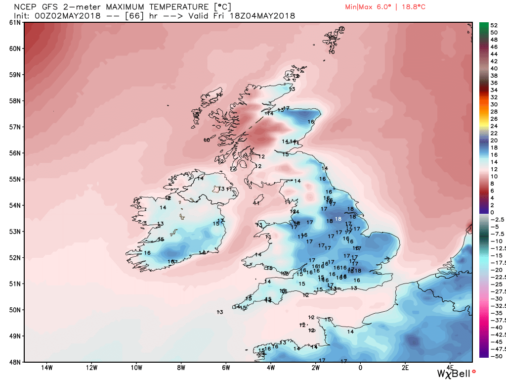
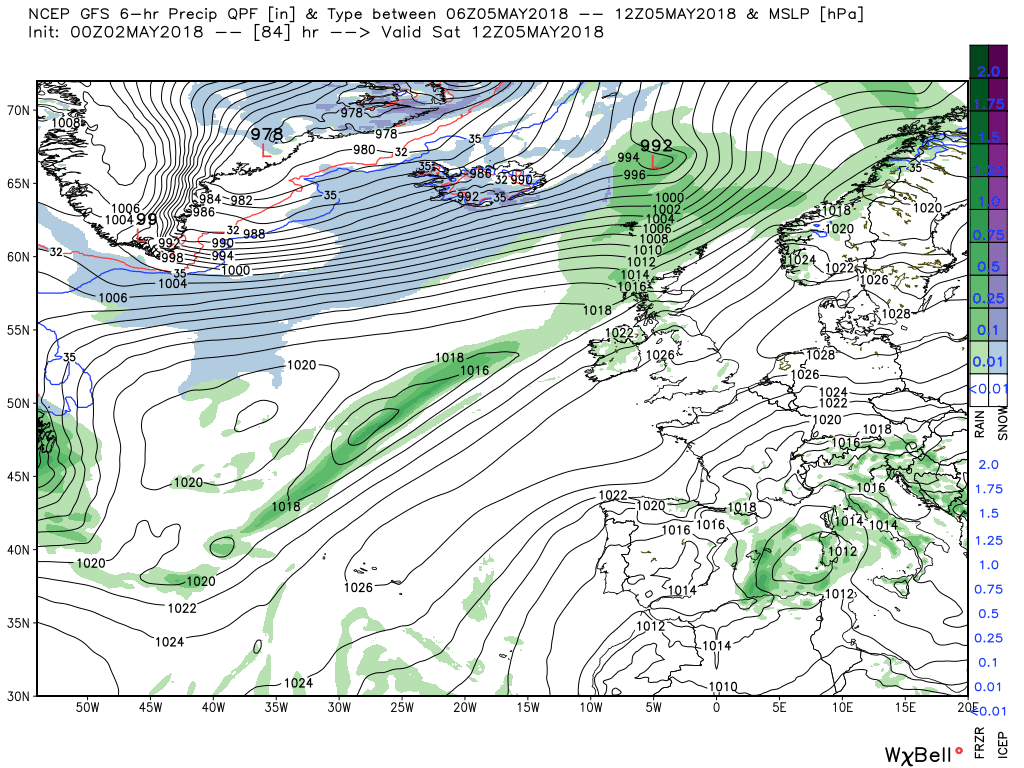
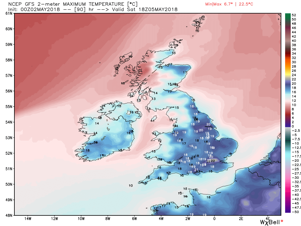
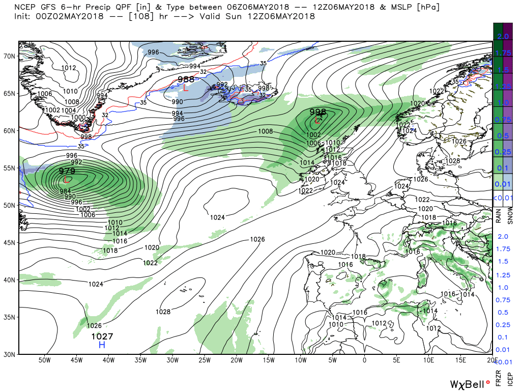
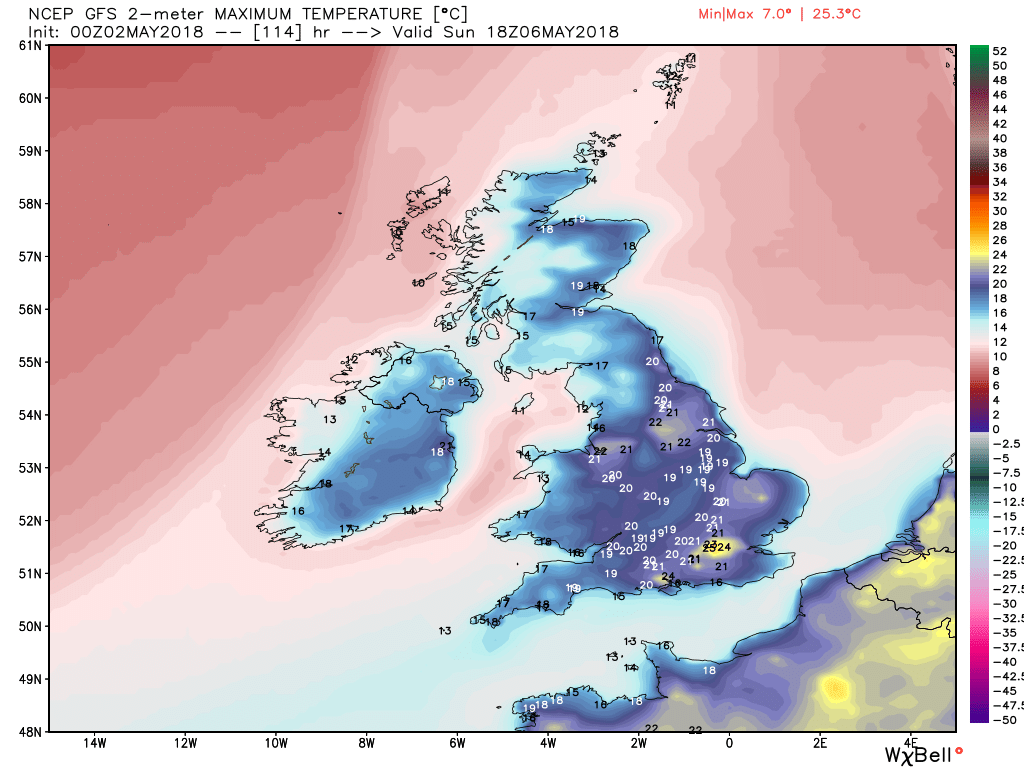
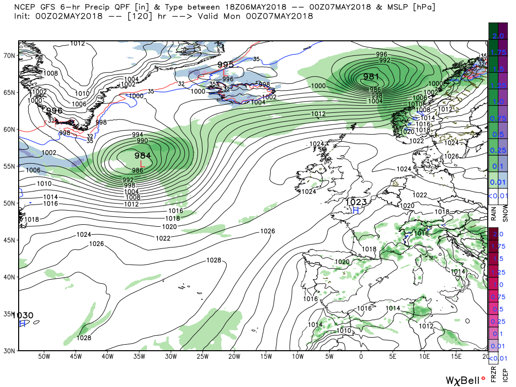
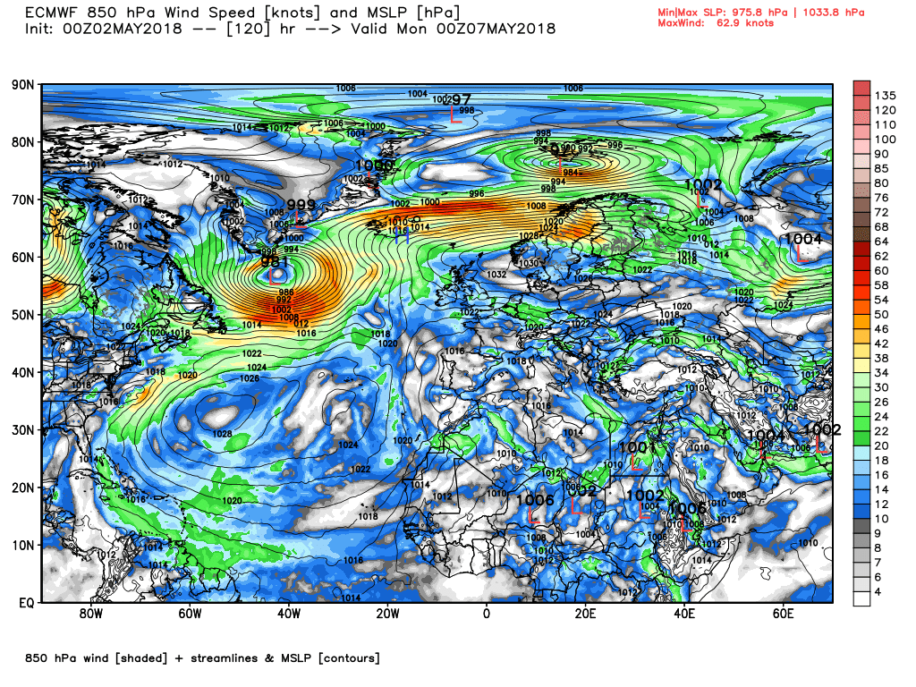
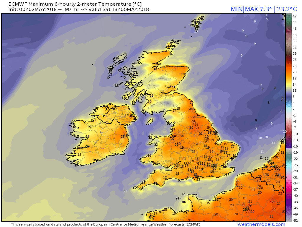
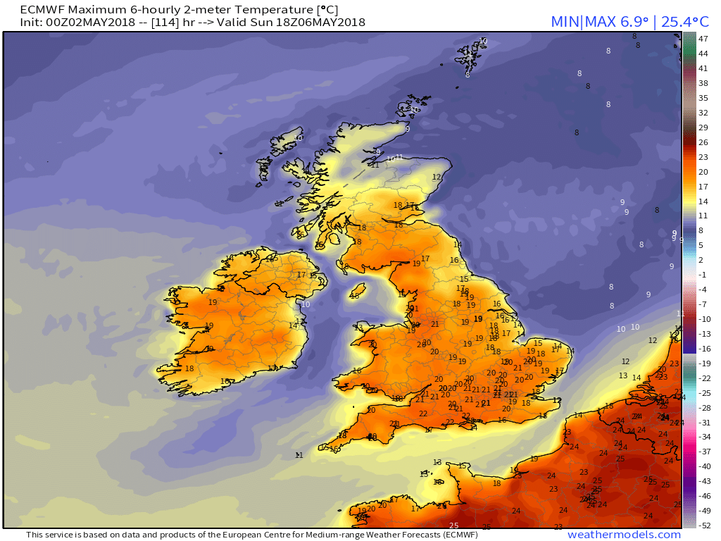
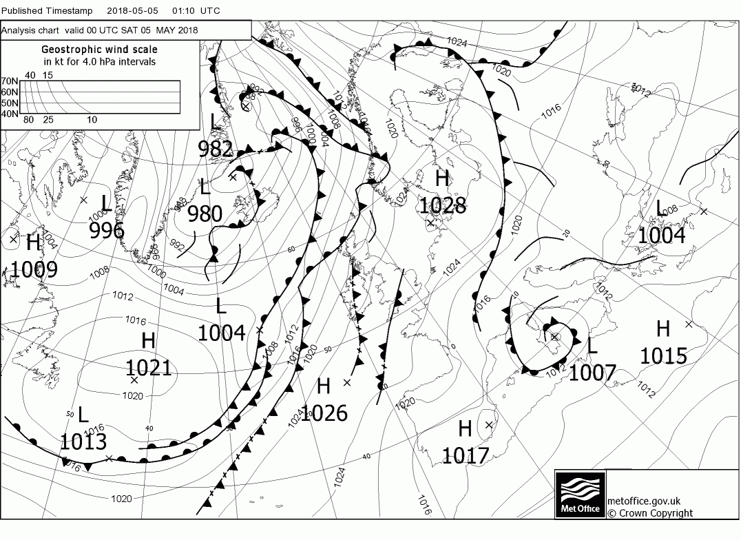
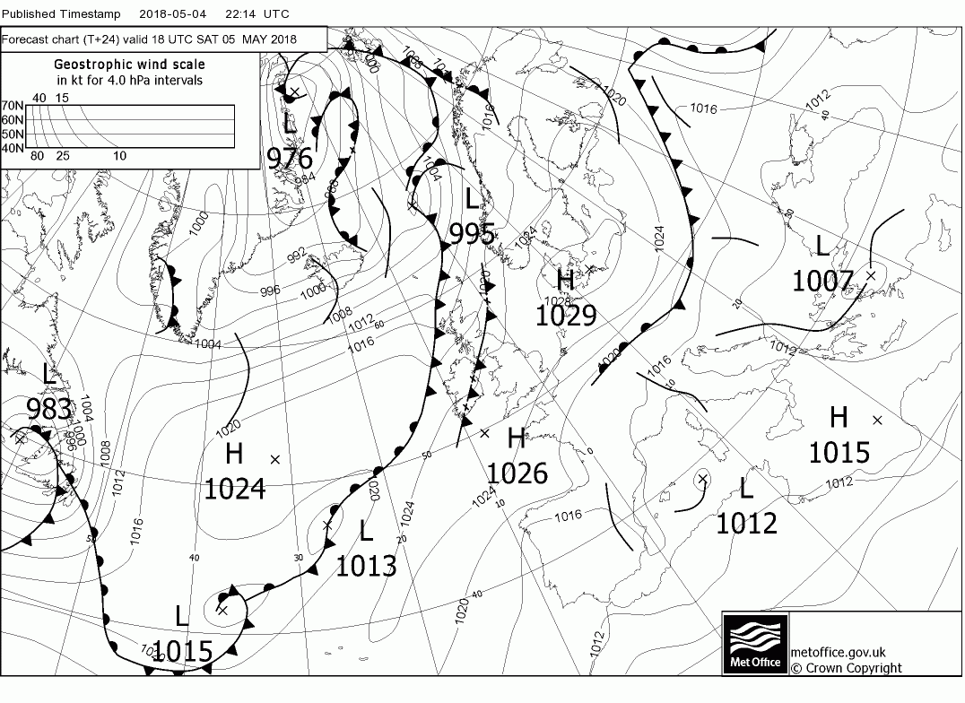
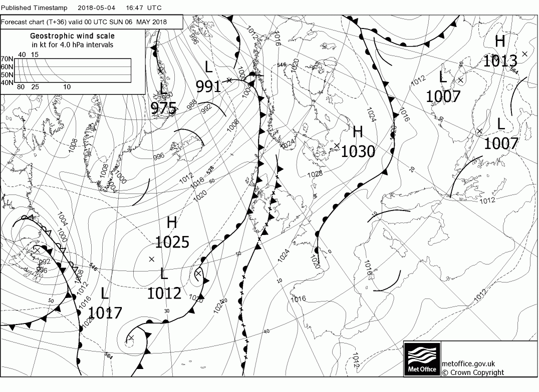
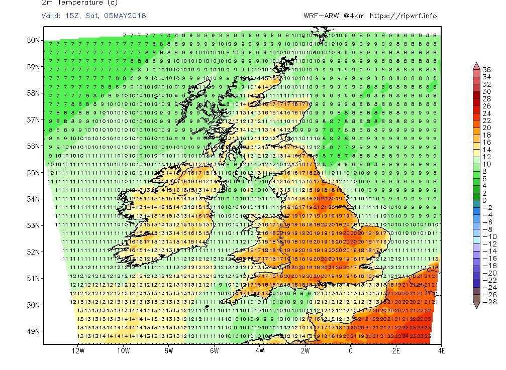
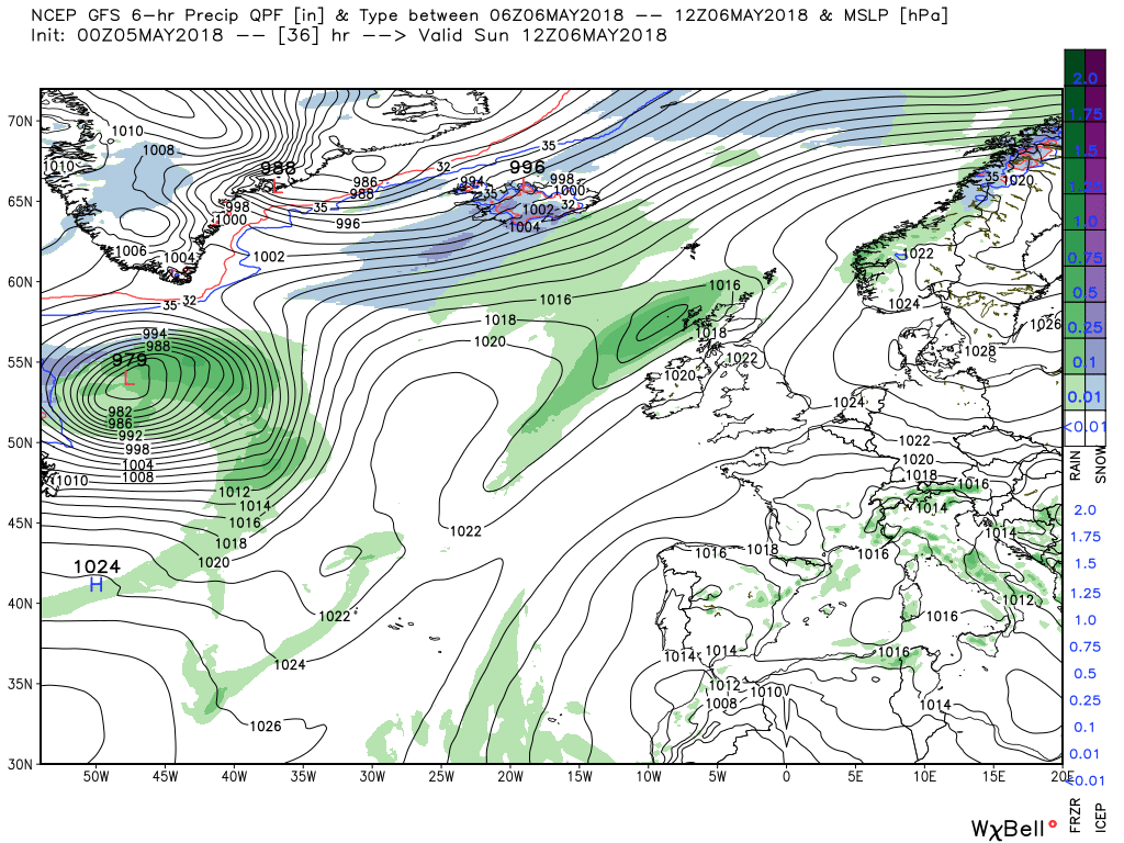
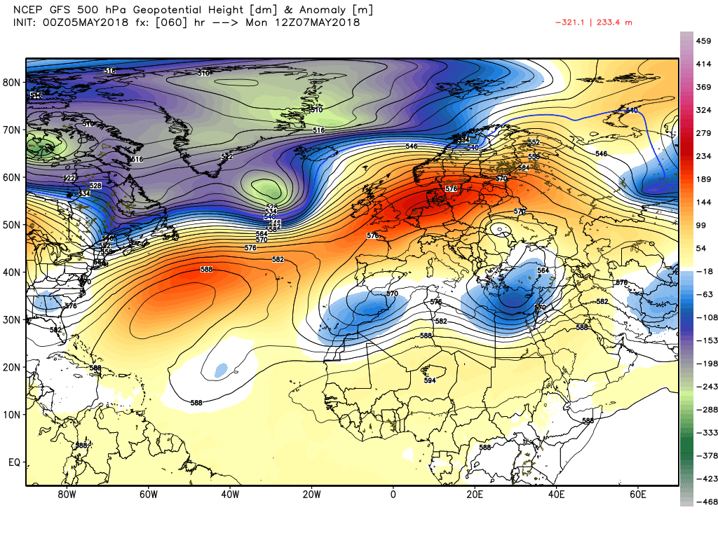
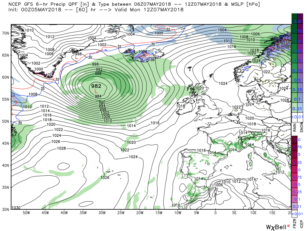
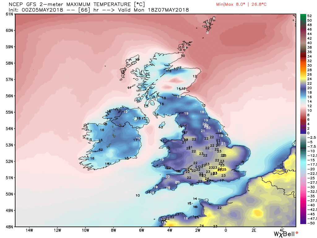
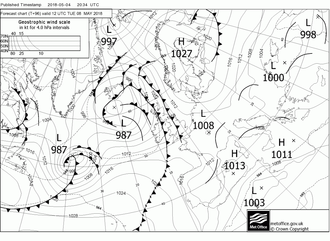
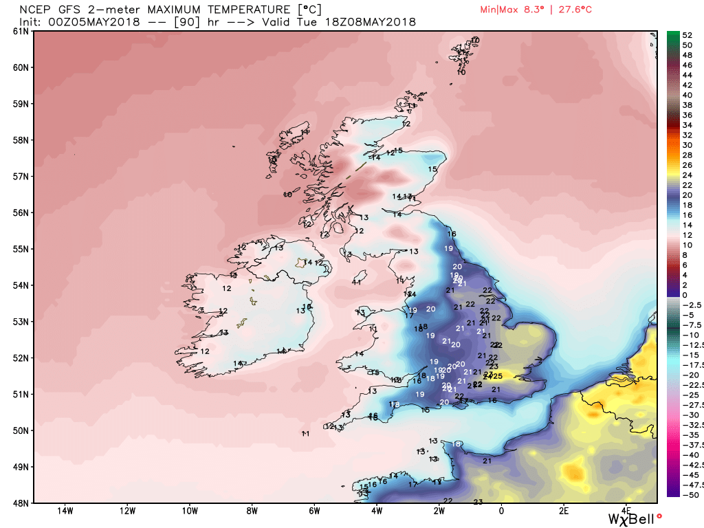
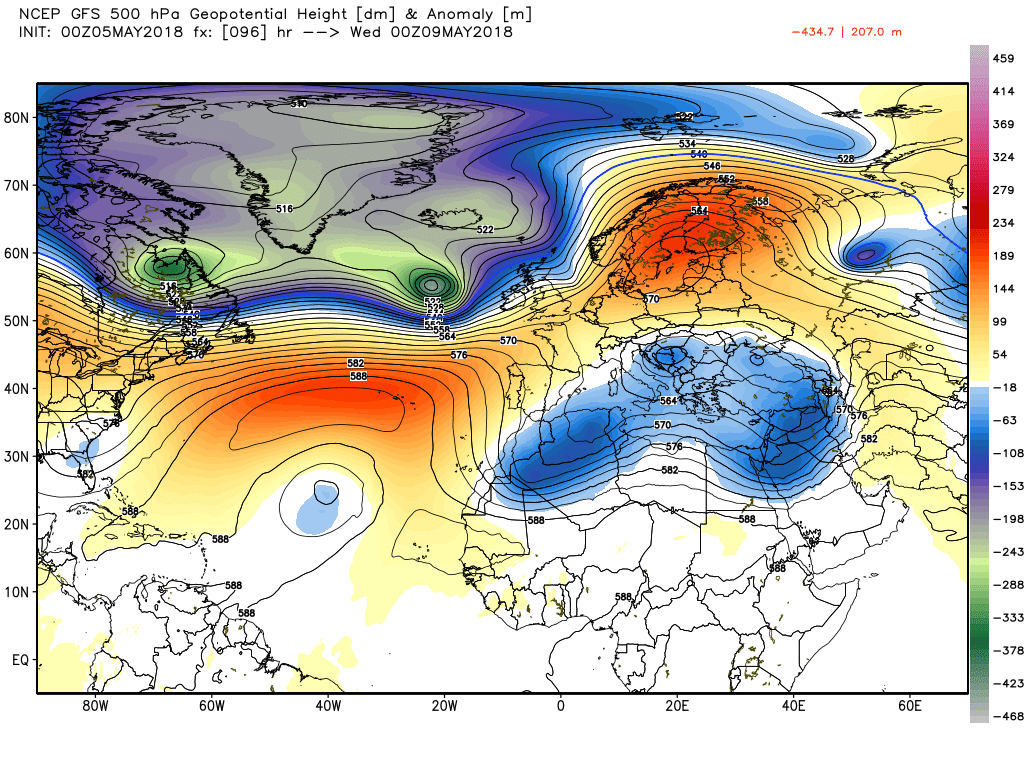
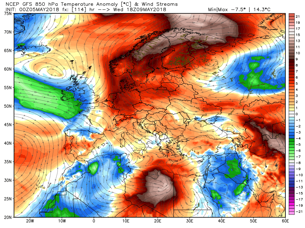
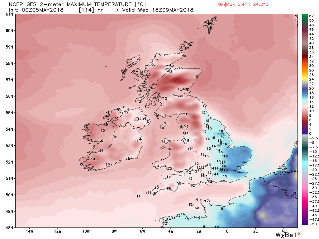
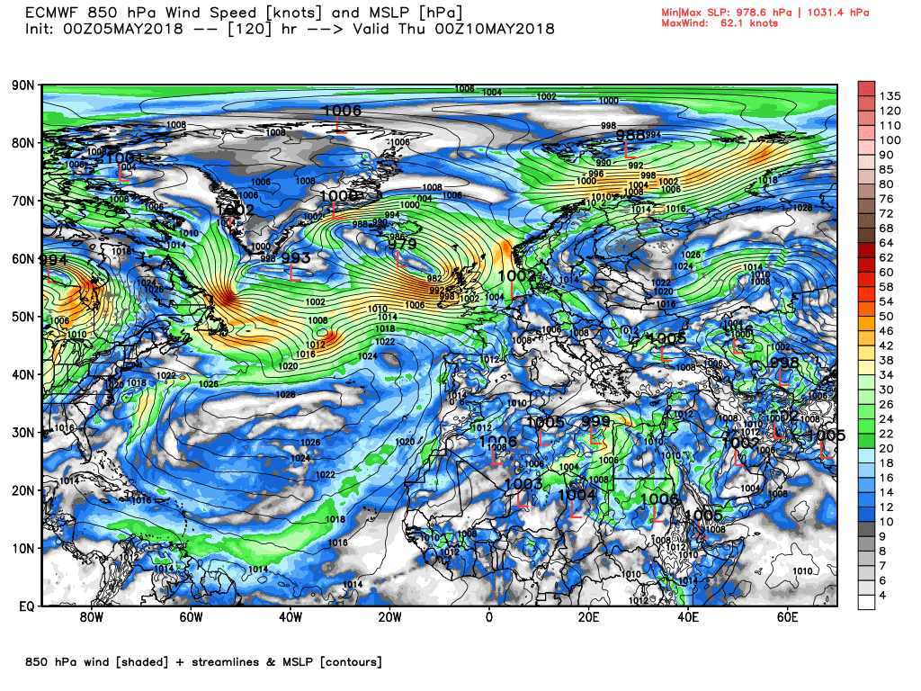
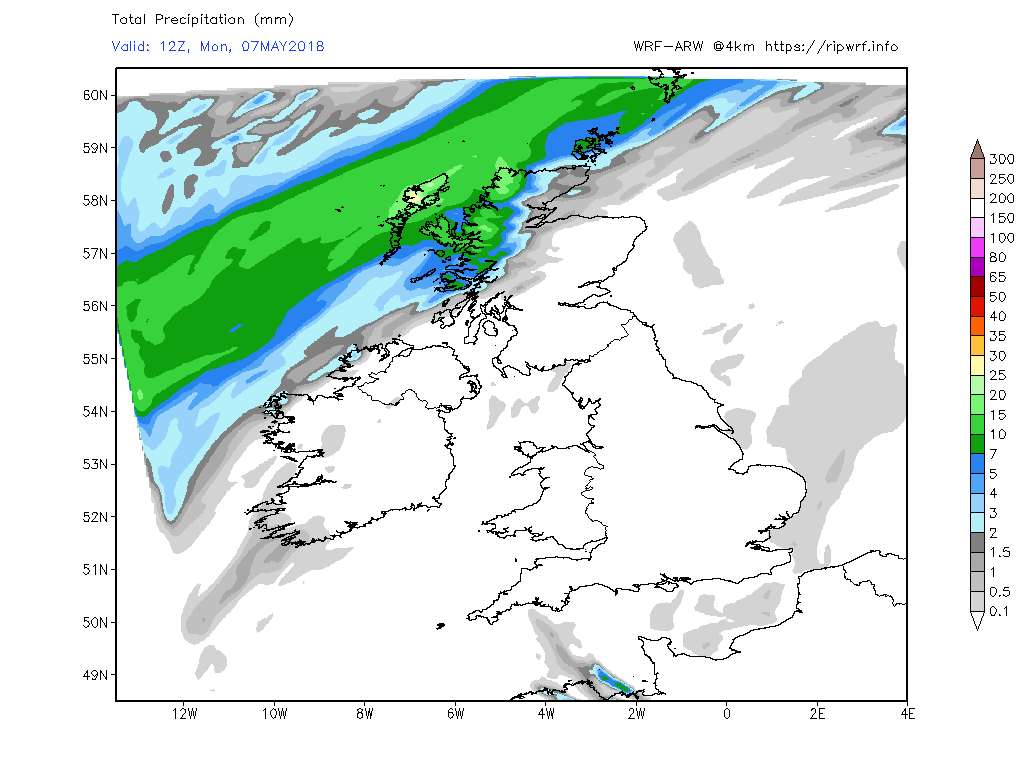
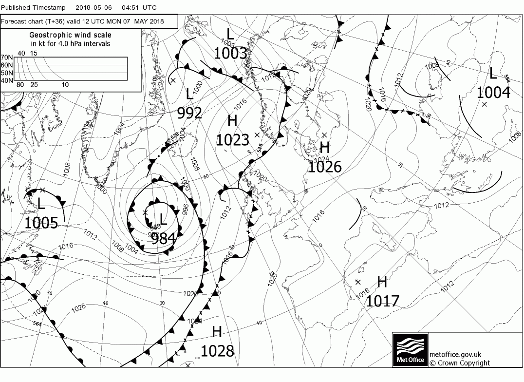
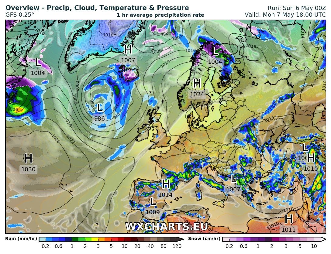
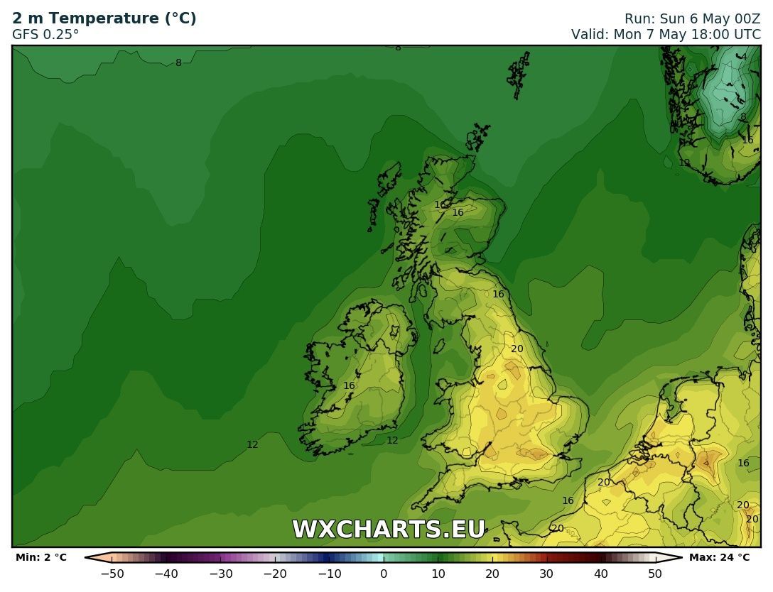
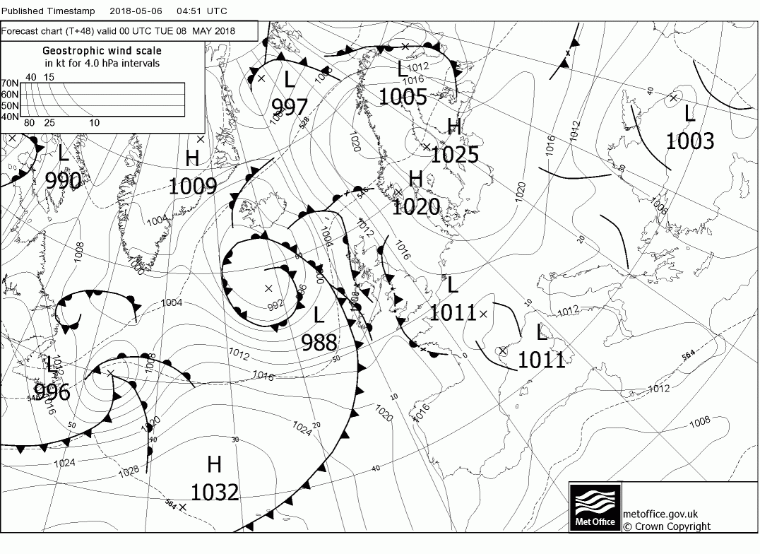
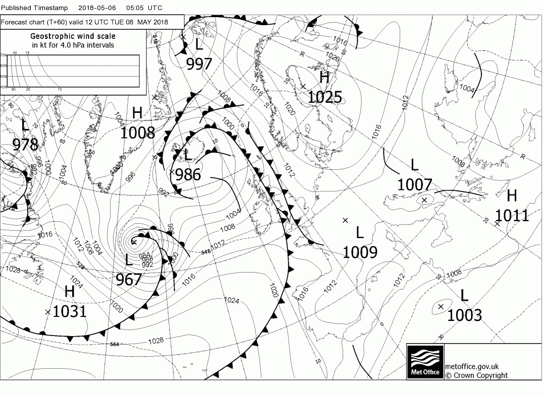
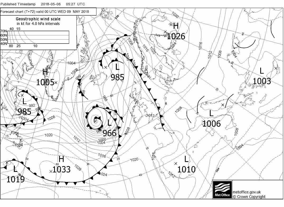
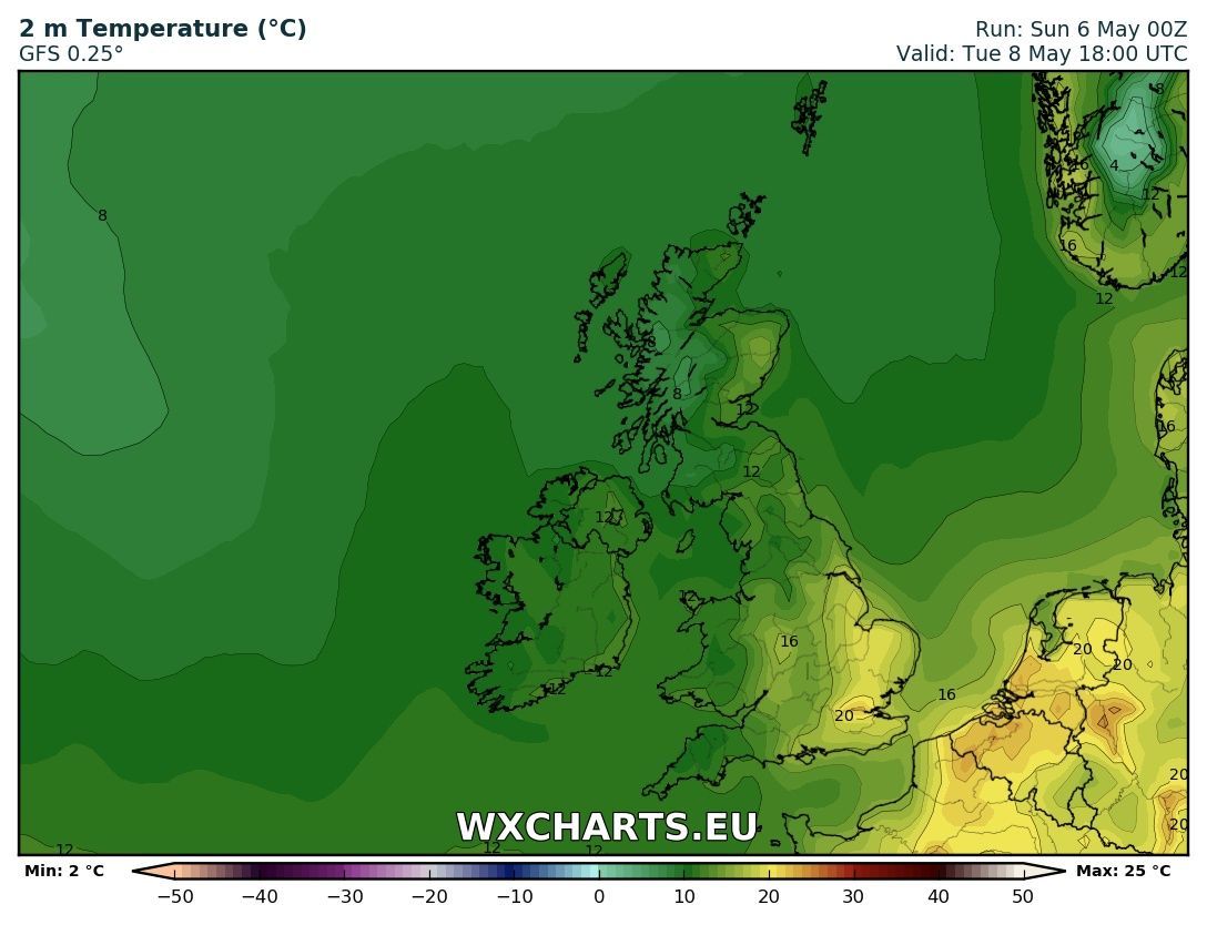
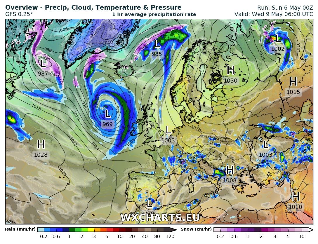
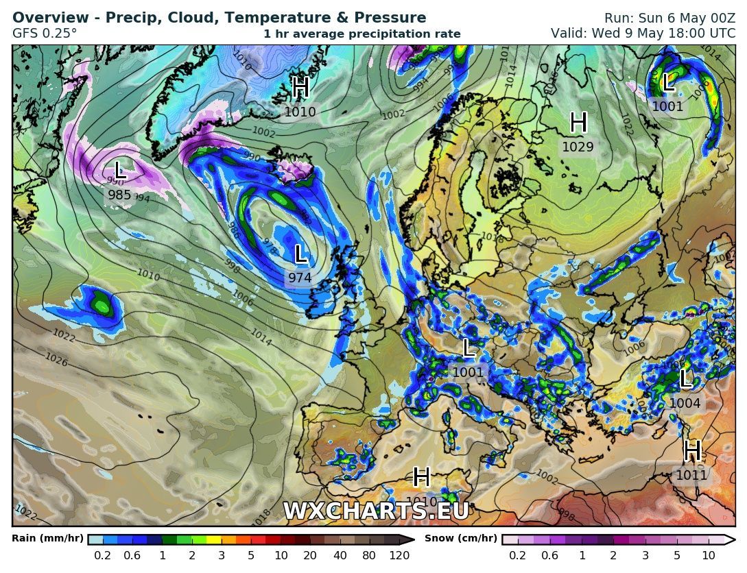
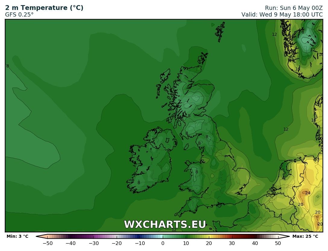
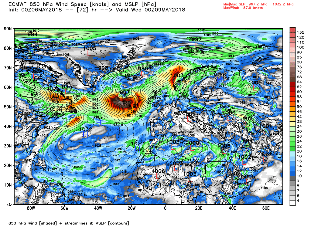
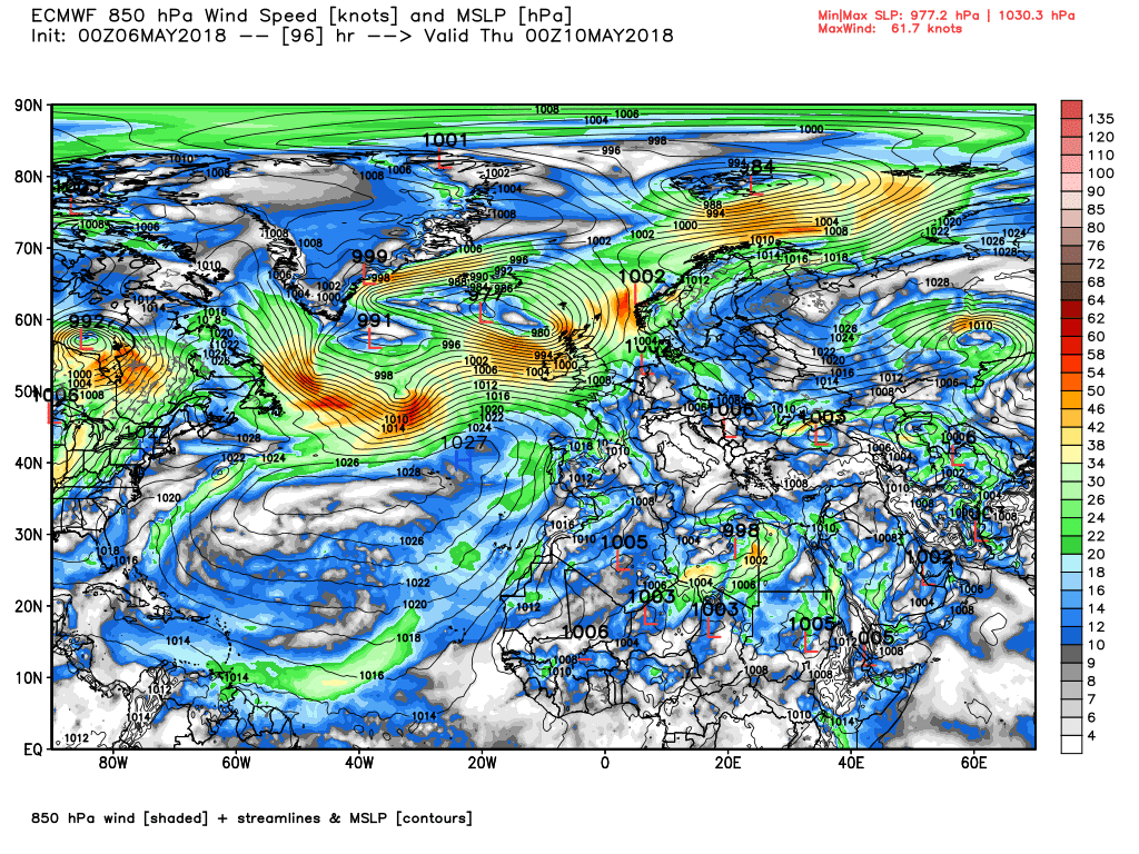
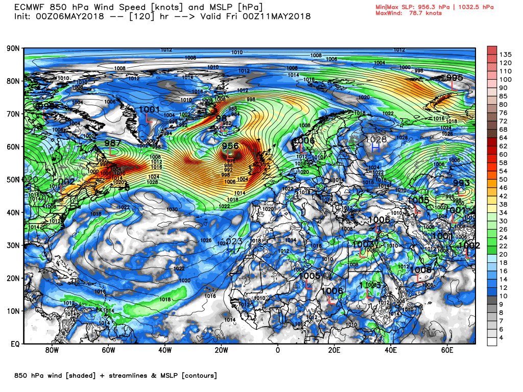
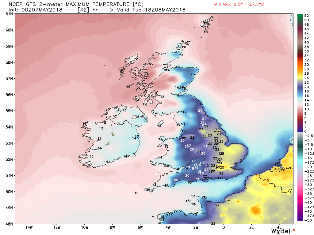
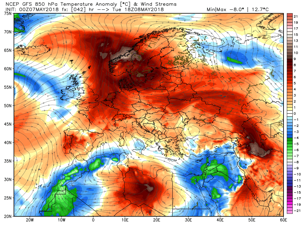
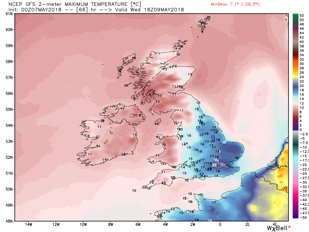
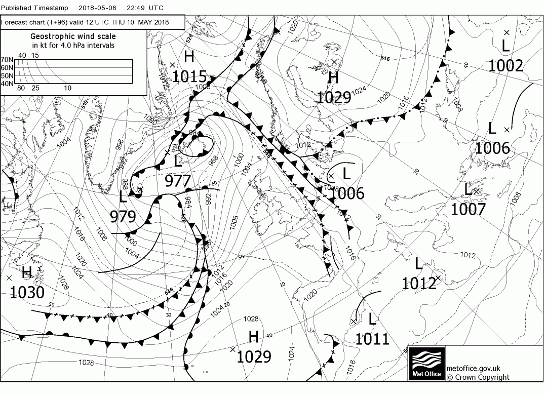
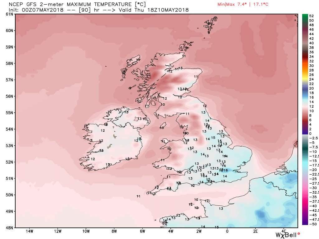
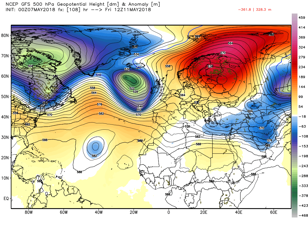
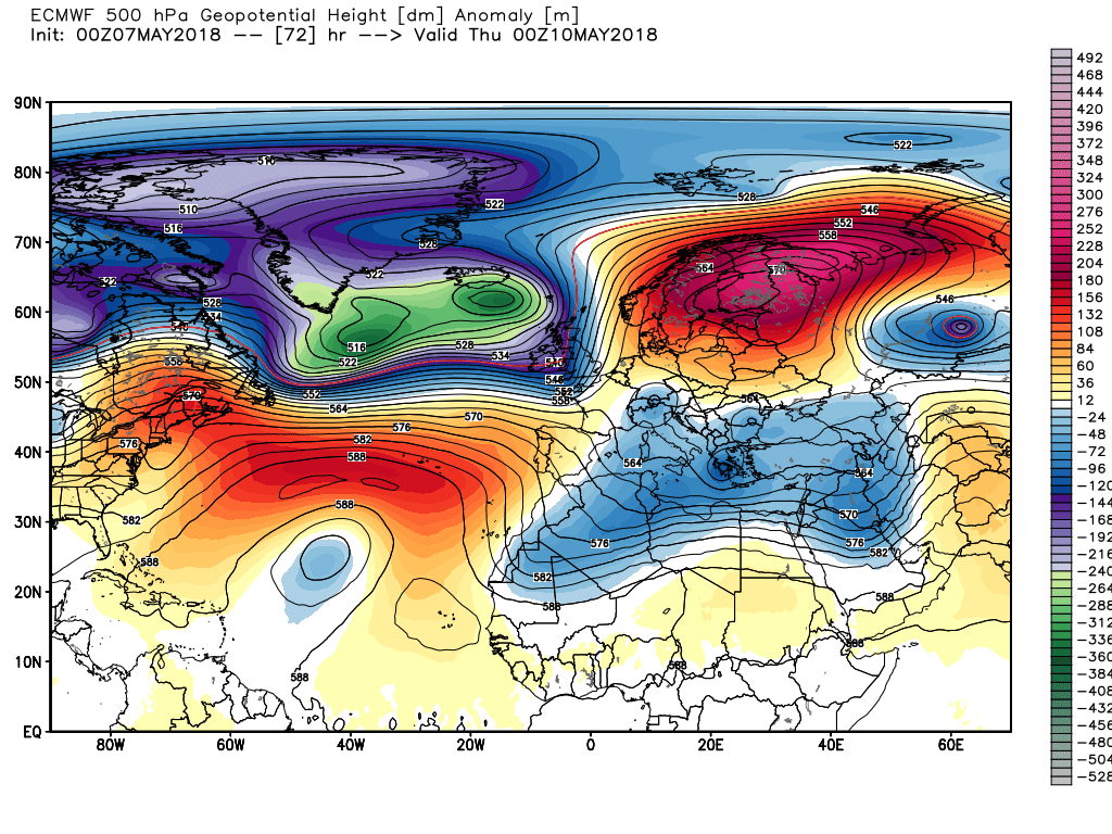
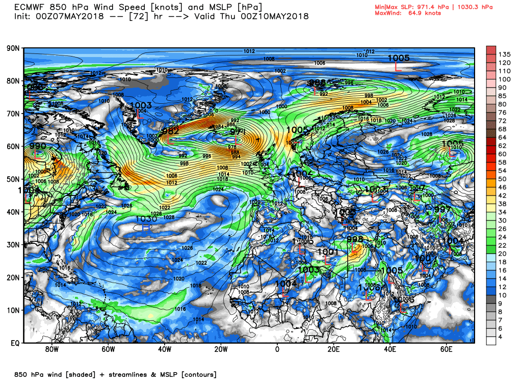
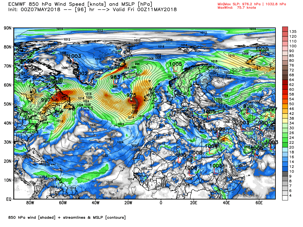
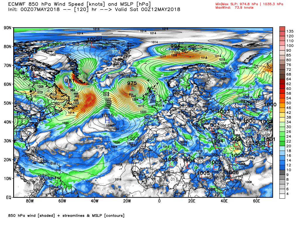
Part 2:
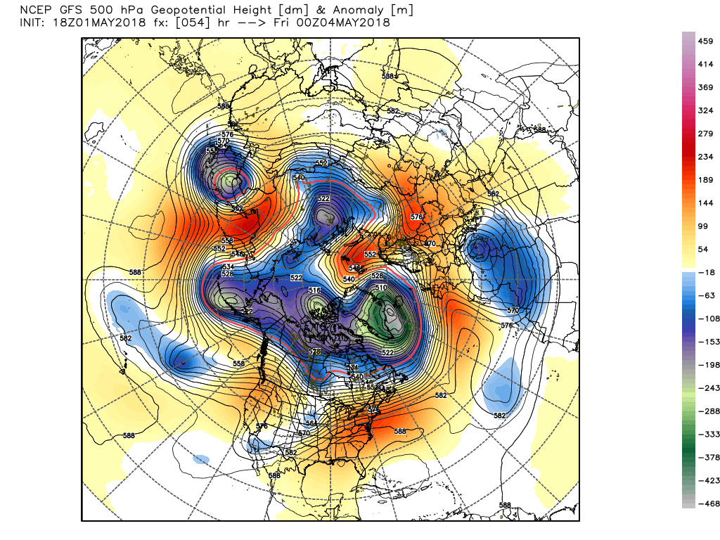
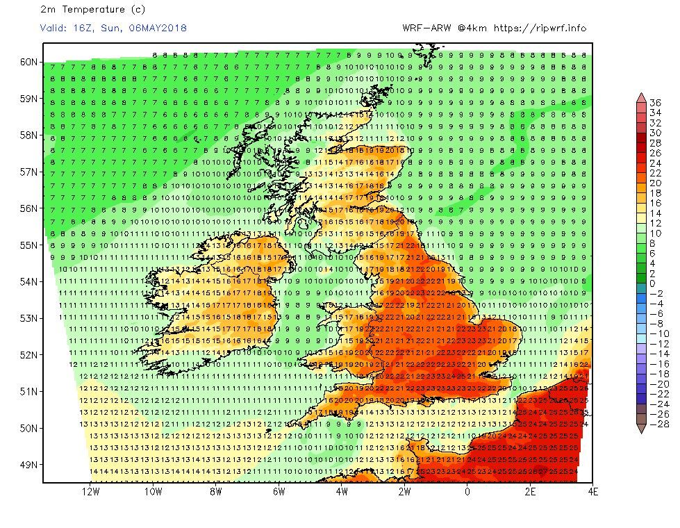
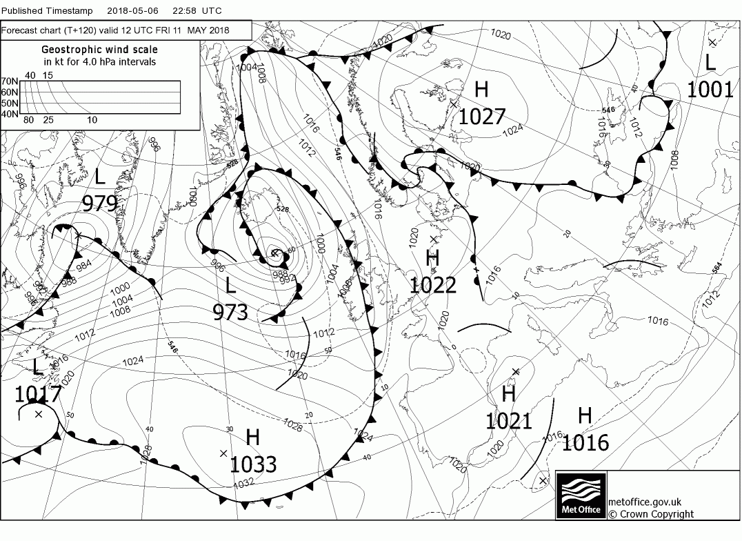
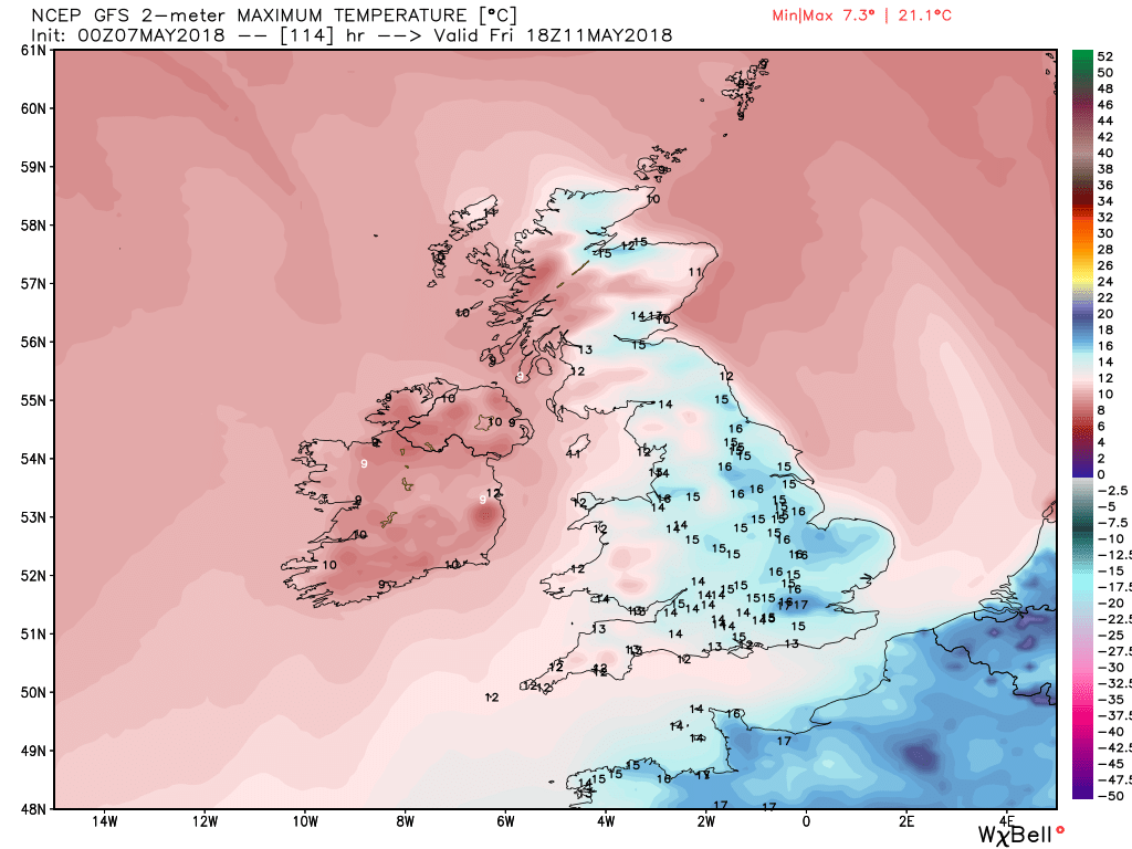
The end of the week with the ecm merely confirming that the percentage play remains A NW/SE split with temps creeping above average, particularly in the south.